Anthropogenic pressures on land and sea
Assessing pressures of human activities in coastal and marine areas of the Mediterranean and beyond
CURRENT STATUS
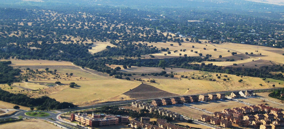
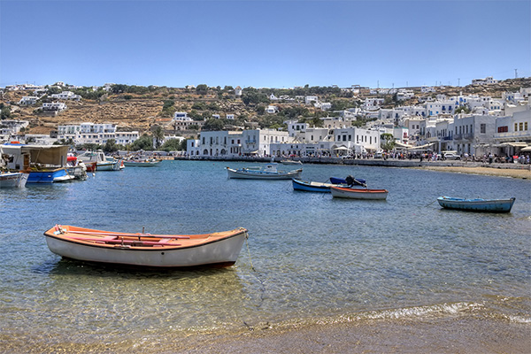
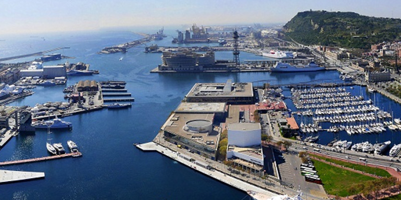
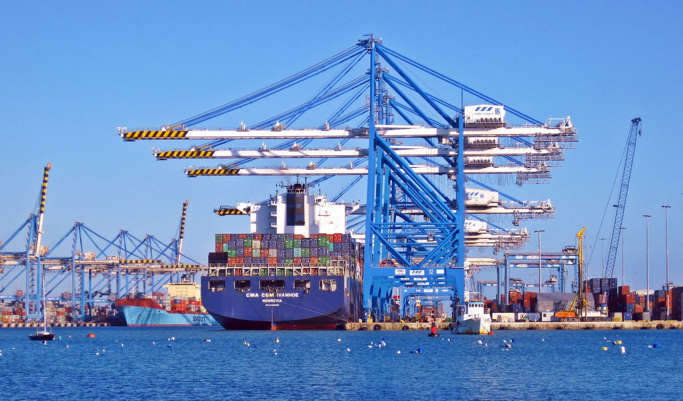
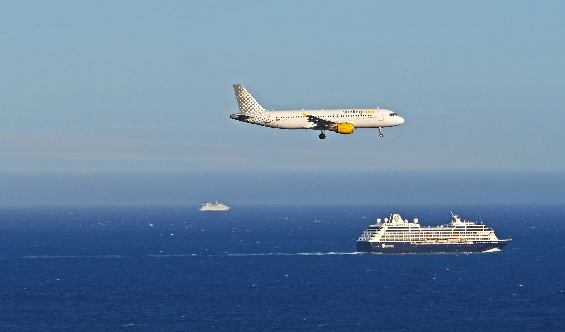
The coastal and marine environment is exposed to multiple factors and pressures stemming from human activities and climate change. Some of the pressures come from land-based activities like tourism, urbanization along the coast and pollution from agriculture fields while others are sea-based, as in the case of maritime transport, fishing and aquaculture, and oil and gas drilling. Understanding the combined impact of these activities on our natural ecosystems is crucial, particularly when they occur in biodiversity hotspot regions such as the Mediterranean.
Fortunately, the cumulative impact of these various pressures is being acknowledged more and more by national, regional and European policies; the Barcelona Convention and its protocols aim to tackle pollution and an integrated management of the coast, and the EU’s Marine Strategy Framework Directive is addressing the environmental status and trends of European waters.
To assess and monitor the effectiveness of these policies, data needs to be collected and made available so that adequate indicators based on scientific approaches can be developed.
OUR ACTIONS
We at ETC-UMA have built an analytical approach to measure the pressures on coastal and marine ecosystems around the DPSIR framework. Our approach has helped describe interactions between human activities and the environment, together with related responses from policy. Going beyond the notion of sources of pollution, we widened the scope to cover a range of drivers and factors involving environmental changes and affecting marine and coastal ecosystems. Applied so far to the Mediterranean Sea, we obtained a full overview of the links between the pressures, the underlying causes and the potential final impacts and of the potential policy responses that could influence the situation in the region. For our analyses we used spatially explicit indicators combined with scientific data to provide a comprehensive composite pressure indicator.
Our achievements are
Development of an integrated methodology based on the Ecosystem approach to produce indicators on multiple drivers and pressures
Methodological improvements for the assessment of cumulative pressures.
Development of the MedBioLitter open database on science available on marine litter and the impacts on biodiversity in the Mediterranean.
Production of indicators related to coastal and maritime tourism.
Featured outputs
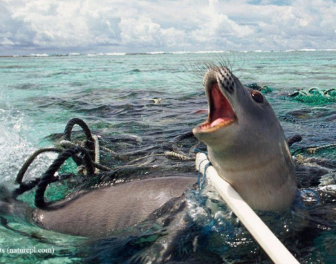
Brief update of the MedBioLitter database version 10 updated in January 2023
The MedBioLitter knowledge base is an entry-point to the peer reviewed research evidence published on the impacts of marine litter on marine biota in the Mediterranean region. This knowledge base was created in 2017, under the Interreg-Med funded initiative PANACeA ...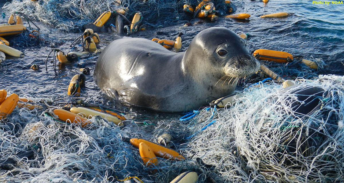
ETC-UMA issues new report on the impacts of litter on Mediterranean marine species
On the occasion of the workshop organized by IUCN and Région Sud in collaboration with its CPMR partner, the ETC-UMA Director, Dania Abdul Malak is presenting today 1 April 2022 a highlight on the wide range of actions required to ...
MedBioLitter: an open database on marine litter and biodiversity science
An open database and spatial geoportal on current scientific knowledge related to marine litter and biodiversity interactions in the Mediterranean region. ...Resources
Books
Abdul-Malak, D.; McGlade, K.; Pascual, D.; Pla, E.
1, Springer International Publishing, 2017, ISBN: 978-3-319-51680-6, (2191-5547 ISSN 978-3-319-51680-6 eBook ISBN).
@book{Abdul-Malak2017,

title = {Adapting to Climate Change – An Assessment of Vulnerability and Risks to Human Security in the Western Mediterranean Basin},

author = {D. Abdul-Malak and K. McGlade and D. Pascual and E. Pla},

doi = {10.1007/978-3-319-51680-6},

isbn = {978-3-319-51680-6},

year  = {2017},

date = {2017-01-01},

number = {100},

publisher = {Springer International Publishing},

edition = {1},

abstract = {This book examines the water-related impacts of climate change in the UNESCO Intercontinental Biosphere Reserve of the Mediterranean (IBRM) straddling Spain and Morocco. This is the first in-depth publication on a fascinating transboundary case study; while climate change effects are rather homogenous across the IBRM, differing socio-economic contexts, land-use patterns and policy frameworks in Spain and Morocco mean considerable variations in vulnerability and consequences for human security. The authors have produced a novel and integrated vulnerability assessment that combines hydro-ecological, socio-economic and policy analyses. The interdisciplinary approach and insights contained in this volume will appeal both to those interested in the integration of natural and social sciences as well as those working on water and climate change from academic, practical or policy-oriented perspectives.},

note = {2191-5547 ISSN

978-3-319-51680-6 eBook ISBN},

keywords = {},

pubstate = {published},

tppubtype = {book}

}
Book Chapters
Rodríguez-Rodríguez, D.; Sánchez-Espinosa, A.; Prem, M.; Abdul-Malak, D.; Schröder, C.
In: Chapter 9, pp. 173-186, Tirant Editorial, 1, 2024, ISBN: 978-84-1183-238-0.
@inbook{nokey,

title = {Mediterranean landscape in trasition. Nuevos enfoques para hacer frente a los nuevos retos sociales y medioambientales.},

author = {D. Rodríguez-Rodríguez and A. Sánchez-Espinosa and M. Prem and D. Abdul-Malak and C. Schröder},

url = {https://editorial.tirant.com/es/libro/mediterranean-landscape-in-trasition-nuevos-enfoques-para-hacer-frente-a-los-nuevos-retos-sociales-y-medioambientales-maria-jose-marquez-ballesteros-9788411832380?busqueda=mediterranean+landscape+in+transition&},

isbn = { 978-84-1183-238-0},

year  = {2024},

date = {2024-06-05},

urldate = {2024-06-05},

pages = {173-186},

publisher = {Tirant Editorial},

edition = {1},

chapter = {9},

abstract = {El litoral mediterráneo se enfrenta a un futuro con importantes retos y desafíos como consecuencia de su fuerte urbanización y el impacto del cambio climático. Con esta premisa, la red internacional de investigadores Mediterránean Landscape in Transition presenta esta publicación que recoge sus principales reflexiones para hacer frente a esta realidad. La intersección de las diferentes aportaciones nos muestra la complejidad y la urgencia de la situación a la que se enfrentan los paisajes mediterráneos y sus costas; donde la evaluación y medición de las dinámicas de transformación del litoral, en el contexto del cambio climático y la resiliencia, son fundamentales para comprender y conservar estos valiosos ecosistemas.


El lector conocerá las vulnerabilidades que amenazan su conservación que afecta tanto a la biodiversidad como a sus comunidades locales, subrayando la necesidad de adaptación y resiliencia para su supervivencia. También se aborda el problema del turismo masivo y la turistificación, proponiendo estrategias para equilibrar la actividad turística con la preservación ambiental y cultural. Todo ello, en un contexto donde los movimientos sociales y territoriales desempeñan un papel relevante en su defensa; y donde el paisaje social se convierte en una tarea crucial para garantizar la sostenibilidad y el bienestar de las comunidades y la naturaleza, en estos entornos costeros tan especiales.},

keywords = {},

pubstate = {published},

tppubtype = {inbook}

}
El lector conocerá las vulnerabilidades que amenazan su conservación que afecta tanto a la biodiversidad como a sus comunidades locales, subrayando la necesidad de adaptación y resiliencia para su supervivencia. También se aborda el problema del turismo masivo y la turistificación, proponiendo estrategias para equilibrar la actividad turística con la preservación ambiental y cultural. Todo ello, en un contexto donde los movimientos sociales y territoriales desempeñan un papel relevante en su defensa; y donde el paisaje social se convierte en una tarea crucial para garantizar la sostenibilidad y el bienestar de las comunidades y la naturaleza, en estos entornos costeros tan especiales.
Journal Articles
Siegel, L.; Goldscheider, N.; Petitta, M.; Xanke, J.; Andreo, B.; Bakalowicz, M.; Barberá, J. A.; Bouhlila, R.; Burg, A.; Doummar, J.; Ezzine, I.; Fernández-Ortega, J.; Ghanmi, M.; Jourde, H.; Marín, A. I.; Mhimdi, A.; Pipan, T.; Ravbar, N.; Stevanović, A. M.; Stevanović, Z.
Distribution, threats and protection of selected karst groundwater-dependent ecosystems in the Mediterranean region Journal Article
In: Hydrogeology Journal , 2023.
@article{Siegel2023,

title = {Distribution, threats and protection of selected karst groundwater-dependent ecosystems in the Mediterranean region},

author = {L. Siegel and N. Goldscheider and M. Petitta and J. Xanke and B. Andreo and M. Bakalowicz and J. A. Barberá and R. Bouhlila and A. Burg and J. Doummar and I. Ezzine and J. Fernández-Ortega and M. Ghanmi and H. Jourde and A. I. Marín and A. Mhimdi and T. Pipan and N. Ravbar and A. M. Stevanović and Z. Stevanović},

url = {https://link.springer.com/article/10.1007/s10040-023-02711-9},

doi = {https://doi.org/10.1007/s10040-023-02711-9},

year  = {2023},

date = {2023-09-22},

urldate = {2023-09-22},

journal = { Hydrogeology Journal },

abstract = {Karst groundwater-dependent ecosystems (KGDEs) in the Mediterranean region are important in terms of ecosystem services and biodiversity but are increasingly under anthropogenic pressures and climate-change constraints. For this study, the ecohydrological characteristics, threats, and protection status of 112 selected KGDEs around the Mediterranean Sea, including caves, springs, rivers and wetlands, were evaluated, based on local expert knowledge and scientific literature. Results demonstrate that KGDEs contribute considerably to regional biodiversity. The diversity of karst landscapes, combined with the groundwater emergence at springs, leads to exceptional habitat diversity, particularly in arid climates, where KGDEs serve as a refuge for species that could not thrive in the surrounding environment. The most common threats identified among the selected sites are direct human disturbances, such as mass tourism or overfishing, water-quality deterioration and water shortage from aquifer overdraft and/or climate change. Although most of the selected sites are under protection, conservation measures are frequently insufficient. Such shortcomings are often caused by poor data availability, little knowledge on conservation needs of invertebrate species, and conflicts of interest with the local population. For this purpose, it is necessary to raise environmental awareness and promote interdisciplinary research, in order to monitor water quality and quantity in addition to the status of the biocenoses.},

keywords = {},

pubstate = {published},

tppubtype = {article}

}
Martorell-Guerrero, G.; Rodríguez-Rodríguez, D.; García-Millán, V. E.
Long-term assessment of the effectiveness of coastal protection regulations in conserving natural habitats in Spain Journal Article
In: Ocean & Coastal Management, vol. 239, 2023.
@article{nokey,

title = {Long-term assessment of the effectiveness of coastal protection regulations in conserving natural habitats in Spain},

author = {G. Martorell-Guerrero and D. Rodríguez-Rodríguez and V. E. García-Millán},

url = {https://www.sciencedirect.com/science/article/pii/S0964569123001266},

doi = {https://doi.org/10.1016/j.ocecoaman.2023.106601},

year  = {2023},

date = {2023-05-15},

journal = {Ocean & Coastal Management},

volume = {239},

abstract = {Spain has undergone rapid socioeconomic development in the past three decades. This has been linked to massive residential and infrastructural development based on a short-term, profitable and resource-intensive consuming model. As a result, large amounts of agricultural, natural and semi-natural soils have been lost to artificial areas, especially around main cities and on the coast. In this study, we assessed the effectiveness of the Spanish Shores Act at preventing land development in two biogeographical regions and three administrative scales between 1988 and 2020 using a BACI design and remote sensing data. We also analysed the combined effect of other regulations to prevent land development on the coast. The Shores Act was effective in reducing land development although moderate to substantial land development occurred in the zones affected by the Law, especially in the Mediterranean region. Adding other sectoral regulations to the Shores Act notably and consistently reduced land development across regions. Among them, cumulative protected area (PA) regulations were most effective in reducing coastal land development. The use of satellite images, especially Sentinel 2A MSI data within a BACI design, proved a useful method for assessing the effectiveness of fine-scale objectives of environmental policies such as the Shores Act.},

keywords = {},

pubstate = {published},

tppubtype = {article}

}
Kerzabi, R.; Mansour, H.; Yousfi, S.; Marín, A. I.; Andreo, B.; Bensefia, K. E.
Contribution of remote sensing and GIS to mapping groundwater vulnerability in arid zone: Case from Amour Mountains- Algerian Saharan Atlas Journal Article
In: Journal of African Earth Sciences, vol. 182, iss. October 2021, no. 104277, 2021.
@article{Kerzabi2021,

title = {Contribution of remote sensing and GIS to mapping groundwater vulnerability in arid zone: Case from Amour Mountains- Algerian Saharan Atlas},

author = {R. Kerzabi and H. Mansour and S. Yousfi and A. I. Marín and B. Andreo and K. E. Bensefia},

url = {https://doi.org/10.1016/j.jafrearsci.2021.104277},

doi = {https://doi.org/10.1016/j.jafrearsci.2021.104277},

year  = {2021},

date = {2021-10-01},

journal = {Journal of African Earth Sciences},

volume = {182},

number = {104277},

issue = {October 2021},

abstract = {Protecting groundwater resource from pollution in arid zone is coming an important act for sensing development in this region calling for geomatics tools to characterize the geological and hydrogeological environment. The present work gives a new way to combine remote sensing and geographic information systems to elaborate vulnerability map of Deffa watershed (in Amour Mountains). This region is a good example of arid zones how know an important growth of agriculture, but there is under gap of geological, hydrogeological and soil knowledge. In the first time, we analyzed the Landsat 8-OLI image data with bands combination, ratios composition in RGB and filters to cartography the lithology's contours and lineament map. The false color composition of bands (765, 753, and 543) in RGB given the primary lithological delimitation. Supported by band rationing technique, we produced of 1/50000 geological map. The filter treatments given the lineament map superposed to the first one to realize geo-structural map. In addition, these images served to elaborate pedology map, using Decision Tree (Slope, Redness Index and Lithology parameters). Secondly, we established a GIS including the result map of RS treatment (lithology, lineament and soil maps) and additional spatial information (aquifer type and deep of groundwater surface and precipitations …). In GIS, the vulnerability index are calculated using GOD and PI methods. Both of maps displayed four classes of vulnerability: between Low and Extreme in the first map, and Very low to High vulnerability in the second one. In the some areas, we have controversial values of vulnerability; this leads us to validate these maps using pollution indicators (NO3−, NH4+ and SO42−). The validation displayed that the PI coincides better with special concentrations of pollutants.},

keywords = {},

pubstate = {published},

tppubtype = {article}

}
Hatziiordanou, L.; Fitoka, E.; Hadjicharalampous, E.; Votsi, N. E.; Palaskas, D.; Abdul-Malak, D.
In: One Ecosystem, vol. 4, no. e32704, 2019.
@article{Hatziiordanou2019,

title = {Indicators for mapping and assessment of ecosystem condition and of the ecosystem service habitat maintenance in support of the EU Biodiversity Strategy to 2020},

author = {L. Hatziiordanou and E. Fitoka and E. Hadjicharalampous and N.E. Votsi and D. Palaskas and D. Abdul-Malak},

url = {https://oneecosystem.pensoft.net/article/32704/},

doi = {10.3897/oneeco.4.e32704},

year  = {2019},

date = {2019-06-13},

journal = {One Ecosystem},

volume = {4},

number = {e32704},

abstract = {A systematic approach to map and assess the “maintenance of nursery populations and habitats” ecosystem service (ES) (hereinafter called “habitat maintenance”) has not yet emerged. In this article, we present an ecosystem service framework implementation at landscape level, by proposing an approach for calculating and combining a series of indicators with spatial modelling techniques. Necessary conceptual elements for this approach are: a) ecosystem condition, b) supply and demand of the targeted ecosystem service and c) spatial relationships between the Service Providing Units (SPU) and the Service Connecting Units (SCU). Ecosystem condition is quantified and mapped based on two indicators, the Biodiversity State and the Anthropogenic Impact. Quantification and mapping of supply and demand are based on the hypothesis that high supply can be activated in strictly protected areas and that a demand is localised in the Natura 2000 sites (N2K), considering them as the Service Benefit Areas (SBA). Wetlands are assessed as SCU between the SBA and the landscape areas where the habitat maintenance ES is supplied. By assessing wetlands as SCU, we intent to highlight their role as biodiversity stepping stones and as green infrastructures. Overall, we conclude that the EU biodiversity policy demand for no net loss and for a coherent N2K network can be met by enhancing the delivery of the habitat maintenance ES. This approach can assist policy-makers in prioritisation of conservation and restoration targets, in line with the EU biodiversity strategy to 2020 and the preparation of the post-2020 Strategy.},

keywords = {},

pubstate = {published},

tppubtype = {article}

}
Rodríguez-Rodríguez, D.; Martínez-Vega, J.
Representation and protection of the threatened biodiversity by the largest Spanish regional network of protected areas Journal Article
In: Endangered Species Research, vol. 35, pp. 125-139, 2018.
@article{Rodríguez-Rodríguez2018e,

title = {Representation and protection of the threatened biodiversity by the largest Spanish regional network of protected areas},

author = {D. Rodríguez-Rodríguez and J. Martínez-Vega},

url = {https://doi.org/10.3354/esr00878},

doi = {10.3354/esr00878},

year  = {2018},

date = {2018-03-15},

journal = {Endangered Species Research},

volume = {35},

pages = {125-139},

abstract = {The main global strategy to stop biodiversity loss is the designation of protected areas (PAs). Spain is a highly biodiverse country. It has one of the world's greatest terrestrial PA coverages. However, the status of its biodiversity is delicate as a result of serious pressures, and some important areas for biodiversity are outside PAs. We used official census data to spatially assess how 71 habitats of community interest (HCIs), 126 regionally threatened flora, fauna and fungi species and subspecies (RTSs), and 33 globally threatened species or subspecies (GTSs) are represented in a network of 404 PAs in Andalusia, a region rich in biodiversity in southern Spain. We also assessed the legal and managerial protection afforded to these threatened habitats and species by those PAs. The Andalusian PA network expands across one-third of the region’s territory and includes the threatened species’ richest areas. However, it only covers 57% of the area of occupancy of RTSs, 81% of the regional area of occupancy of GTSs, and 53% of the extent of HCIs. Over 61% of the regional PA network area is assigned more than 1 PA designation category, although cumulative legal protection is marginally related to RTS richness and unrelated to GTS richness. RTSs and especially GTSs occupy the most relative area in Ramsar sites (i.e. wetlands of international importance), although these are of relatively minor importance for threatened habitats. Wetlands and agricultural areas are the broad ecosystem types showing the greatest numbers of RTSs and GTSs. Seven GTSs were not included in the Andalusian Register of Threatened Species. One hundred and eleven unprotected Areas of High Importance for Threatened Species (AHITSs) and one Area of High Importance for Threatened Biodiversity (AHITB) were identified. Those species and sites are good candidates for a targeted expansion of legal protection of biodiversity in the region.},

keywords = {},

pubstate = {published},

tppubtype = {article}

}
Aksoy, E.; Gregor, M.; Schröder, C.; Löhnertz, M.; Louwagie, G.
Assessing and analysing the impact of land take pressures on arable land Journal Article
In: Solid Earth, no. 8, pp. 683-695, 2017.
@article{Aksoy2017c,

title = {Assessing and analysing the impact of land take pressures on arable land},

author = {E. Aksoy and M. Gregor and C. Schröder and M. Löhnertz and G. Louwagie},

url = {https://www.solid-earth.net/8/683/2017/},

year  = {2017},

date = {2017-06-20},

journal = {Solid Earth},

number = {8},

pages = {683-695},

abstract = {Land, and in particular soil, is a finite and essentially non-renewable resource. Across the European Union, land take, i.e. the increase of settlement area over time, annually consumes more than 1000 km2 of which half is actually sealed and hence lost under impermeable surfaces. Land take, and in particular soil sealing, has already been identified as one of the major soil threats in the 2006 European Commission Communication Towards a Thematic Strategy on Soil Protection and the Soil Thematic Strategy and has been confirmed as such in the report on the implementation of this strategy. The aim of this study is to relate the potential of land for a particular use in a given region with the actual land use. This allows evaluating whether land (especially the soil dimension) is used according to its (theoretical) potential. To this aim, the impact of several land cover flows related to urban development on soils with good, average, and poor production potentials were assessed and mapped. Thus, the amount and quality (potential for agricultural production) of arable land lost between the years 2000 and 2006 was identified. In addition, areas with high productivity potential around urban areas, indicating areas of potential future land use conflicts for Europe, were identified.},

keywords = {},

pubstate = {published},

tppubtype = {article}

}
Rodríguez-Rodríguez, D.; Abdul-Malak, D.; Soukissian, T.; Sánchez-Espinosa, A.
Achieving Blue Growth through maritime spatial planning: Offshore wind energy optimization and biodiversity conservation in Spain Journal Article
In: Marine Policy, vol. 73, pp. 8-14, 2016.
@article{Rodríguez-Rodríguez2016d,

title = {Achieving Blue Growth through maritime spatial planning: Offshore wind energy optimization and biodiversity conservation in Spain},

author = {D. Rodríguez-Rodríguez and D. Abdul-Malak and T. Soukissian and A. Sánchez-Espinosa},

url = {https://www.researchgate.net/publication/305824278_Achieving_Blue_Growth_through_maritime_spatial_planning_Offshore_wind_energy_optimization_and_biodiversity_conservation_in_Spain},

doi = {10.1016/j.marpol.2016.07.022},

year  = {2016},

date = {2016-11-01},

journal = {Marine Policy},

volume = {73},

pages = {8-14},

abstract = {Spain has a high potential for renewable energy production, being the world's third country by installed on-shore wind power. However, it has not yet fully developed its renewable energy production capacity, with no commercial offshore wind production to date, and remains highly dependent on fossil fuel imports. The country is also one of Europe's most biodiverse, on land and at sea. This study spatially assesses the country's offshore wind energy potential by incorporating the newly designated marine protected areas (MPAs) to the official Spanish strategic environmental assessment for the installation of offshore windfarms (SEA). It also identifies optimal areas for offshore windfarm development according to key physical variables such as wind speed, depth and substrate type. It finally assesses real commercial windfarm projects against current environmental constraints. The results show that nearly 50% of the whole area within 24 nm from the Spanish coast could be suitable for offshore windfarm development at the planning phase. However, only 0.7% of that area is optimal for wind energy production with current fixed turbine technology. Nevertheless, either area would allow Spain to meet its national targets of 750 MW of ocean power capacity installed by 2020 under adequate local wind conditions. Over 88% of all commercial windfarm project area is within the SEA's Exclusion zone, thus unfeasible under current circumstances. Technological breakthroughs like floating turbines may soon make the optimal windfarm area (OWA) less restrictive and reduce current environmental impacts of marine windfarms within a truly sustainable Blue Growth.},

keywords = {},

pubstate = {published},

tppubtype = {article}

}
Rodríguez-Rodríguez, D.; Sánchez-Espinosa, A.; Schröder, C.; Abdul-Malak, D.; Rodríguez, J.
Cumulative pressures and low protection: a concerning blend for Mediterranean MPAs Journal Article
In: Marine Pollution Bulletin, vol. 101, pp. 288-295, 2015.
@article{Rodríguez-Rodrígueza2015,

title = {Cumulative pressures and low protection: a concerning blend for Mediterranean MPAs},

author = {D. Rodríguez-Rodríguez and A. Sánchez-Espinosa and C. Schröder and D. Abdul-Malak and J. Rodríguez},

url = {https://www.sciencedirect.com/science/article/pii/S0025326X15300540},

doi = {https://doi.org/10.1016/j.marpolbul.2015.09.039},

year  = {2015},

date = {2015-12-01},

journal = {Marine Pollution Bulletin},

volume = {101},

pages = {288-295},

abstract = {This study classifies Mediterranean marine protected areas (MPAs) according to the combined result of pressure level and protection. Six major marine environment pressures were considered: pressures from fish farms, fishing, marine litter, pressures from marinas, pollution from maritime transport, and climate change. MPA protection was assessed through legal protection and management effort. Most MPA area in the Mediterranean is under relatively high pressure level and afforded low protection. Inshore areas show higher pressure levels. Five marine ecoregions, nine countries and nineteen MPA designation categories have over 50% of their MPA area under major concern. The mean number of cumulative pressures occurring in priority MPAs ranges between three and four, although the mean combined intensity of those pressures is low. However, these figures are most likely underestimated, especially for the southern Mediterranean. The most concerning pressures to MPAs regarding extent and intensity were: climate change, fishing and pollution from maritime transport.},

keywords = {},

pubstate = {published},

tppubtype = {article}

}
Marín, A. I.; Andreo, B.; Mudarra, M.
Vulnerability mapping and protection zoning of karst springs. Validation by multitracer tests Journal Article
In: Science of The Total Environment, vol. 532, pp. 435-446, 2015.
@article{Marín2015b,

title = {Vulnerability mapping and protection zoning of karst springs. Validation by multitracer tests},

author = {A. I. Marín and B. Andreo and M. Mudarra},

url = {https://www.sciencedirect.com/science/article/pii/S0048969715300875},

doi = {https://doi.org/10.1016/j.scitotenv.2015.05.029},

year  = {2015},

date = {2015-11-01},

journal = {Science of The Total Environment},

volume = {532},

pages = {435-446},

abstract = {Protection zoning of karst springs and wells used for water supply is a key aspect in many countries, calling for specific methodologies adapted to the particular characteristics of karst media. This work presents a new approach, in view of the present state of the art and based on experiences with contamination vulnerability mapping at the pilot site of the Villanueva del Rosario karst system (southern Spain). Source (intrinsic) vulnerability maps were prepared and compared using three European procedures for karst aquifers. The vulnerability maps were then tested using dye tracers. The COP + K method and Slovene Approach appear to provide reliable results in terms of intrinsic vulnerability mapping. Nevertheless, all the methods have a margin of error. The COP + K map is adopted as the baseline to delineate the protection zones, through the conversion from vulnerability classes to degrees of protection.},

keywords = {},

pubstate = {published},

tppubtype = {article}

}
Marín, A. I.; Andreo, B.
In: Ustron, pp. 52, 2015, (Not available online).
@article{Marín2015c,

title = {Preliminary proposal of a guideline to delineate the protection zones of karts springs In Groundwater vulnerability -from scientific concept to practical application},

author = {A. I. Marín and B. Andreo},

url = {Not available online},

year  = {2015},

date = {2015-05-25},

journal = {Ustron},

pages = {52},

abstract = {Not available online},

note = {Not available online},

keywords = {},

pubstate = {published},

tppubtype = {article}

}
Marín, A. I.; Andreo, B.
Vulnerability to Contamination of Karst Aquifers Journal Article
In: Karst Aquifers—Characterization and Engineering, pp. 251-266, 2015, ISBN: 978-3-319-12850-4.
@article{Marín2015,

title = {Vulnerability to Contamination of Karst Aquifers},

author = {A. I. Marín and B. Andreo},

url = {https://link.springer.com/chapter/10.1007%2F978-3-319-12850-4_8},

doi = {https://doi.org/10.1007/978-3-319-12850-4_8},

isbn = {978-3-319-12850-4},

year  = {2015},

date = {2015-02-26},

journal = {Karst Aquifers—Characterization and Engineering},

pages = {251-266},

abstract = {The karst aquifers are especially vulnerable to pollution due to their hydrological behavior derived from karstification. The vulnerability mapping is one of the most applied tools to protect them. There is a wide range of methodologies for vulnerability mapping that have been developed for karst aquifer, to consider the specific characteristics of karst into the vulnerability assessment, such as EPIK, PI, COP, Slovene Approach and PaPRIKa, among others. The vulnerability map can help the water stakeholder for decision-making and to promote a land-use management compatible with the water protection. So the maps should have reliable accuracy. Many works highlight that the maps of groundwater contamination vulnerability obtained from different methods differ significantly, although they were all obtained by methods developed for karst aquifers or they are obtained from the same source of information and applied by the same person. So, the validation is an essential element of any contamination vulnerability assessment. The current challenge of researchers is to obtain versatile and easy methods to test and validate vulnerability maps.},

keywords = {},

pubstate = {published},

tppubtype = {article}

}
Lehmann, A.; Giuliania, G.; Mancosu, E.; Abbaspour, K. C.; Sözen, S.; Gorgan, D.; Beel, A.; Ray, N.
Filling the gap between Earth observation and policy making in the Black Sea catchment with enviroGRIDS Journal Article
In: Environmental Science & Policy, vol. 46, pp. 1-12, 2015.
@article{Lehmann2015,

title = {Filling the gap between Earth observation and policy making in the Black Sea catchment with enviroGRIDS},

author = {A. Lehmann and G. Giuliania and E. Mancosu and K. C. Abbaspour and S. Sözen and D. Gorgan and A. Beel and N. Ray},

url = {https://www.sciencedirect.com/science/article/pii/S1462901114000525},

doi = {https://doi.org/10.1016/j.envsci.2014.02.005},

year  = {2015},

date = {2015-02-01},

journal = {Environmental Science & Policy},

volume = {46},

pages = {1-12},

abstract = {The environmental status of the Black Sea is obviously closely related to its catchment. Being a closed sea, this large water body drains an area of more than 2 million km2, encompassing 23 countries inhabited by more than 180 million people. The main environmental issues faced by the Black Sea catchment are the same as elsewhere in Europe. These problems are exacerbated by global changes with drastic changes predicted in temperature and precipitation by the end of the century, as well as land use and demographic changes. These environmental problems are taking place in a complex geopolitical situation. In this particular context, data sharing is essential to inform managers and policy-makers about the state of the environment, which will ultimately influence the state of the Black Sea itself. The enviroGRIDS project was set up in order to promote international data sharing initiatives such as the Global Earth Observation System of Systems and the European INSPIRE directive. The enviroGRIDS project was successful in reaching the following objectives: (a) performing a gap analysis on existing Earth observations systems in the region; (b) developing regional capacities at institutional, infrastructure and human resource levels; (c) creating regional scenarios to set the scene for plausible climatic, demographic and land use futures; (d) building the first hydrological model for the entire Black Sea catchment; (e) developing the Black Sea Catchment Observation System based on interoperability standards and Grid computing technologies; (f) showcasing data sharing in several case studies, addressing important environmental issues while building a network of people with improved capacity on data sharing principles. These relative successes should not, however, hide the difficulties in making the necessary Earth observation data available to scientists, decision makers and the public, as the mind-sets at all levels are changing slowly. Controlling the access to data is still perceived by many as a necessity to guarantee the power of the state on society and as a way to preserve its security. The need to develop national spatial data infrastructures (SDI) is very important to convince all ministries and data owner that publically funded data should be made publically available. The progress in the implementation of SDI seems more limited by political agendas than by technology. It is clear, however, that implementation of the INSPIRE directive in Europe is a prerequisite for the success of many other environmental policies (e.g. Water Framework Directive; Marine Strategy Framework Directive; Biodiversity strategy 2020).},

keywords = {},

pubstate = {published},

tppubtype = {article}

}
Mancosu, E.; Gago-Silva, A.; Barbosa, A.; de Bono, A.; Ivanov, E.; Lehmann, A.; Fons, J.
Future land-use change scenarios for the Black Sea catchment Journal Article
In: Environmental Science & Policy, vol. 46, pp. 26-36, 2015.
@article{Mancosu2015,

title = {Future land-use change scenarios for the Black Sea catchment},

author = {E. Mancosu and A. Gago-Silva and A. Barbosa and A. de Bono and E. Ivanov and A. Lehmann and J. Fons},

url = {https://www.sciencedirect.com/science/article/pii/S1462901114000550},

doi = {https://doi.org/10.1016/j.envsci.2014.02.008},

year  = {2015},

date = {2015-02-01},

journal = {Environmental Science & Policy},

volume = {46},

pages = {26-36},

abstract = {Plausible future scenarios have been created for the Black Sea catchment, focussing on spatially explicit alternatives for land-use changes. Four qualitative storylines (HOT, ALONE, COOP and COOL) were first developed, based on interpretation of the respective global scenarios (A1, A2, B1 and B2) produced by the Intergovernmental Panel on Climate Change. Quantitative statistical downscaling techniques were then used to disaggregate the outputs of global scenarios at a regional level. The resulting land-use maps were spatially allocated at 1 km resolution in the Metronamica model, using a set of factors related to the identified drivers of change. The land-use change model was calibrated on historical trends of land-cover change (MODIS 2001 and 2008) translated into spatial allocation rules, and future land-use projections (IMAGE, 2001) were adopted. Suitability and constraint maps and population trends were used to regulate the modelling process. The calibrated model was validated by statistical procedures, visual evaluation and stakeholder involvement in order to ensure its plausibility and accuracy. This methodology bridged the gap between the global and regional scales. Four simulated future states were produced for the main land-use classes–forest, grassland, cropland and built-up areas, as well as scrublands, crops/natural vegetation and barren land–for 2025 and 2050. The results suggest that the features highlighted in these scenarios are guided by global trends, such as population rise and decreasing agriculture, but with different growth rates and a variety of spatial patterns, with regional variations resulting from local backgrounds and policy objectives. This study aims to provide future land-use data as a potential geographical tool to assist policy makers in addressing environmental emergencies such as water stress and pollution. In particular, the exploration of plausible futures can support future assessments to comply with the EU Water Framework Directive and Integrated Coastal Zone Management policies around the Black Sea.},

keywords = {},

pubstate = {published},

tppubtype = {article}

}
Technical Reports
Schröder, C.; Sánchez-Espinosa, A.; Teixidor, A.; Costa, G.; Galán, R.; Prieto, L.; Balestracci, G.; Kuhn, M. A.; Marín, P.; Martín, A.; Numa, C.; Sciacca, A.
Mapping the Impact of Blue Tourism in the Mediterranean: Vulnerability Assessment of Coastal and Marine Ecosystems Technical Report
2024.
@techreport{Schröder2024,

title = {Mapping the Impact of Blue Tourism in the Mediterranean: Vulnerability Assessment of Coastal and Marine Ecosystems},

author = {C. Schröder and A. Sánchez-Espinosa and A. Teixidor and G. Costa and R. Galán and L. Prieto and G. Balestracci and M.A. Kuhn and P. Marín and A. Martín and C. Numa and A. Sciacca},

url = {https://www.etc.uma.es/wp-content/uploads/Mapping-the-Impact-of-Blue-Tourism-in-the-Mediterranean-web.pdf},

year  = {2024},

date = {2024-09-03},

abstract = {The IUCN Centre for Mediterranean Cooperation with the support of ETC-UMA in the framework of the Blue Tourism Initiative, has released a comprehensive report entitled “Mapping the Impact of Blue Tourism in the Mediterranean: Vulnerability Assessment of Coastal and Marine Ecosystems.” This groundbreaking report reveals how tourism is affecting the Mediterranean’s coastal and marine ecosystems and provides actionable recommendations to promote sustainable blue tourism practices.


The spatial assessment identifies highly vulnerable regions in the Mediterranean, focusing on cumulative tourism pressures and the lack of protected ecologically sensitive areas. Regions such as Cádiz and Malaga in Spain, Antalya and Hatay in Türkiye, Girona and Menorca, Annaba Province in Algeria, and Trieste Province in Italy face high tourism pressures and low protection levels. Even regions with relatively high protection levels still experience significant tourism pressures, while Eastern and Southern Mediterranean countries with low protection levels are extremely vulnerable.


Among its key findings and highlights, we can find the threats to Posidonia oceanica, a unique Mediterranean seagrass, which is under significant threat from leisure boat anchoring. This vital habitat, covering approximately 19,482 square kilometers, provides essential ecosystem services such as carbon sequestration, coastal protection, and habitat provision. The report highlights the pressures from harmful fishing practices and anchoring, especially near major tourist centers. The analysis shows a seasonal increase in leisure boat traffic, with a notable rise in the post-pandemic period.


The report also addresses the threat of vessel collisions with whales in the Northwest Mediterranean. This area is critical for fin whales, hosting up to 70% of the Mediterranean population and significant feeding grounds. It also supports around 50% of the Mediterranean sperm whale population during the summer. The heavy maritime traffic, including goods shipping, passenger transport, and cruise tourism, significantly increases the risk of ship strikes.},

keywords = {},

pubstate = {published},

tppubtype = {techreport}

}
The spatial assessment identifies highly vulnerable regions in the Mediterranean, focusing on cumulative tourism pressures and the lack of protected ecologically sensitive areas. Regions such as Cádiz and Malaga in Spain, Antalya and Hatay in Türkiye, Girona and Menorca, Annaba Province in Algeria, and Trieste Province in Italy face high tourism pressures and low protection levels. Even regions with relatively high protection levels still experience significant tourism pressures, while Eastern and Southern Mediterranean countries with low protection levels are extremely vulnerable.
Among its key findings and highlights, we can find the threats to Posidonia oceanica, a unique Mediterranean seagrass, which is under significant threat from leisure boat anchoring. This vital habitat, covering approximately 19,482 square kilometers, provides essential ecosystem services such as carbon sequestration, coastal protection, and habitat provision. The report highlights the pressures from harmful fishing practices and anchoring, especially near major tourist centers. The analysis shows a seasonal increase in leisure boat traffic, with a notable rise in the post-pandemic period.
The report also addresses the threat of vessel collisions with whales in the Northwest Mediterranean. This area is critical for fin whales, hosting up to 70% of the Mediterranean population and significant feeding grounds. It also supports around 50% of the Mediterranean sperm whale population during the summer. The heavy maritime traffic, including goods shipping, passenger transport, and cruise tourism, significantly increases the risk of ship strikes.
del Mar Otero, M.
Towards a nature positive Mediterranean: Accelerating the transition for the conservation, restoration and wise use of biodiversity in the Mediterranean Technical Report
2022.
@techreport{delOtero2022,

title = {Towards a nature positive Mediterranean: Accelerating the transition for the conservation, restoration and wise use of biodiversity in the Mediterranean},

author = {M. del Mar Otero},

url = {https://www.etc.uma.es/wp-content/uploads/MBPC_Policy_Paper_2022.pdf},

year  = {2022},

date = {2022-11-01},

abstract = {This policy paper draws on various recent policy discussions and papers at a global level, particularly the transformation pathways from the Global Assessment Report on Biodiversity and Ecosystem Services of the Intergovernmental Science-Policy Platform on Biodiversity and Ecosystem Services (IPBES). It also stems from the need to tackle climate change and biodiversity targets simultaneously to generate solutions at the Mediterranean basin.


Building on the IPBES findings, this paper identifies transformative actions that bring about change in the conservation, restoration and wise use of coastal and marine biodiversity ensuring the positive coexistence between economic sectors and sensitive species and habitats found in the Mediterranean region. It argues for the feasible implementation of these actions through available solutions and tools developed by the Interreg Mediterranean Biodiversity Protection Community, among others, that would place the region in the path of ecological resilience and nature recovery.},

keywords = {},

pubstate = {published},

tppubtype = {techreport}

}
Building on the IPBES findings, this paper identifies transformative actions that bring about change in the conservation, restoration and wise use of coastal and marine biodiversity ensuring the positive coexistence between economic sectors and sensitive species and habitats found in the Mediterranean region. It argues for the feasible implementation of these actions through available solutions and tools developed by the Interreg Mediterranean Biodiversity Protection Community, among others, that would place the region in the path of ecological resilience and nature recovery.
Sánchez-Espinosa, A.; Abdul-Malak, D.; San-Román, S.; Vera, A.
Marine mega fauna and litter in the Mediterranean: Overview of impacts in MedBioLitter Technical Report
2022.
@techreport{Sánchez-Espinosa2022,

title = {Marine mega fauna and litter in the Mediterranean: Overview of impacts in MedBioLitter},

author = {A. Sánchez-Espinosa and D. Abdul-Malak and S. San-Román and A. Vera},

url = {https://www.etc.uma.es/wp-content/uploads/Marine_mega_fauna_litter_Mediterranean_March2022.pdf},

year  = {2022},

date = {2022-04-01},

urldate = {2022-04-01},

abstract = {This report highlights the conclusions coming from the analysis of MedBiolitter spatial and scientific data on interactions between marine fauna and litter in the Mediterranean published in English as in v.8 updated in March 2022, integrated with marine litter data collected by ACCOBAMS in the frame of the Aerial Survey Initiative on cetaceans and marine litter. The analysis focuses on the impacts on marine megafauna (large mammals like cetaceans and seals, turtles, cartilaginous fishes like sharks and rays, and scombridae like tuna and swordfish). This publication follows the publication of the “Mediterranean biodiversity and marine litter: an interaction knowledge base” report in the frame of the Interreg Mediterranean Biodiversity Protection project published in 2019. },

keywords = {},

pubstate = {published},

tppubtype = {techreport}

}
Maes, J.; Erhard, M.; Conde, S.; Rodriguez-Vallecillo, S.; Barredo-Cano, J. I.; Paracchini, M.; Abdul-Malak, D.; Trombetti, M.; Vigiak, O.; Zulian, G.; Addamo, A.; Grizzetti, B.; Somma, F.; Hagyo, A.; Vogt, P.; Polce, C.; Jones, A.; Carré, A.; Hauser, R.
EU ecosystem assessment - Summary for policymakers Technical Report
Joint Research Center (JRC) 2021, ISSN: 1831-9424.
@techreport{Maes2021,

title = {EU ecosystem assessment - Summary for policymakers},

author = {J. Maes and M. Erhard and S. Conde and S. Rodriguez-Vallecillo and J.I. Barredo-Cano and M. Paracchini and D. Abdul-Malak and M. Trombetti and O. Vigiak and G. Zulian and A. Addamo and B. Grizzetti and F. Somma and A. Hagyo and P. Vogt and C. Polce and A. Jones and A. Carré and R. Hauser

},

editor = {Publications Office of the European Union},

url = {https://publications.jrc.ec.europa.eu/repository/handle/JRC123783},

doi = {10.2760/190829},

issn = {1831-9424},

year  = {2021},

date = {2021-06-01},

institution = {Joint Research Center (JRC)},

abstract = {Europe’s ecosystems, on which we depend for food, timber, clean air, clean water, climate regulation and recreation, suffer from unrelenting pressures caused by intensive land or sea use, climate change, pollution, overexploitation and invasive alien species. Ensuring that ecosystems achieve or maintain a healthy state or a good condition is thus a key requirement to secure the sustainability of human activities and human well-being. This guiding principle applies for all ecosystems including marine and freshwater ecosystems, natural and semi-natural areas such as wetlands or heathlands but also managed ecosystems such as forests, farmlands and urban green spaces. Knowledge about ecosystem condition, the factors that improve or decline that condition, and the impacts on ecosystem services, with the benefits they deliver to people, is key to effective management, decision-making and policy design. Such an understanding helps target actions for conservation or restoration and more broadly sustainable use. This ecosystem assessment extends and complements the knowledge we have about the state and trends of ecosystems reported under the EU environmental legislation. The conservation of habitats and species as well as the environmental ambitions on freshwater and marine ecosystems have a well-defined thematic and geographical scope. This assessment goes beyond covering the entire terrestrial and marine territory of the EU and in many cases provides more spatially explicit information. Ecosystems inside and outside protected areas such as coastal and inland wetlands and forests contribute to the wellbeing of people through ecosystem services. Despite their importance, they are often heavily impacted and bringing these systems back in a good condition is a key objective for a more sustainable planet. But also human dominated ecosystems such as farmlands and urban green spaces are important providers of provisioning, regulating and cultural ecosystem services and can host remarkable levels of biodiversity that are at the basis of ecosystem services. These ecosystems should not be ignored when considering solutions to bend the curve of biodiversity loss. Consequently, this assessment brings together for the first time EU wide and commonly agreed data sets that can be used to assess the state and trends of ecosystems and their services as well as the pressures and their trends they are exposed to. This is particularly important to understand where and how much ecosystems are degraded and threatened so as to guide priority and cost-effective restoration efforts.},

keywords = {},

pubstate = {published},

tppubtype = {techreport}

}
UNEP-MAP,; Plan-Bleu,; Abdul-Malak, D.; Marín, A. I.; Schröder, C.; Sánchez-Espinosa, A.
SoED 2020 : State of Environment and Development in Mediterranean Technical Report
2020.
@techreport{UNEP-MAP2020,

title = {SoED 2020 : State of Environment and Development in Mediterranean},

author = {UNEP-MAP and Plan-Bleu and D. Abdul-Malak and A. I. Marín and C. Schröder and A. Sánchez-Espinosa},

url = {https://planbleu.org/en/soed-2020-state-of-environment-and-development-in-mediterranean/},

year  = {2020},

date = {2020-12-01},

abstract = {The SoED provides a comprehensive and up-to-date assessment of environment and development interactions in the Mediterranean region. The 2020 version consists of eight thematic chapters and is complemented by two summary papers: Summary for Decision Makers and Key Messages. Topics covered include: socio-economic drivers and trends; climate change; biodiversity and ecosystem services; economic activities and related pressures; coastal dynamics and related impacts; food and water security; health and environment; and governance.},

keywords = {},

pubstate = {published},

tppubtype = {techreport}

}
RAC-SCP,; UNEP-MAP,; BRS-Conventions,; IPEN,
Plastic’s Toxic Additives and the Circular Economy Technical Report
2020.
@techreport{RAC-SCP2020,

title = {Plastic’s Toxic Additives and the Circular Economy},

author = {RAC-SCP and UNEP-MAP and BRS-Conventions and IPEN},

url = {http://www.cprac.org/en/news-archive/general/toxic-additives-in-plastics-hidden-hazards-linked-to-common-plastic-products},

year  = {2020},

date = {2020-09-25},

abstract = {Toxic chemicals of concern that are widespread in common plastic products can hinder the momentum for a circular economy. A new report, coordinated by the Barcelona-based(1) Regional Activity Centre for Sustainable Consumption and Production (SCP/RAC), serving both the Stockholm Convention and the Barcelona Convention, has been produced in collaboration with the International Pollutants Elimination Network (IPEN) in order to shine a light on extensive evidence of toxic chemical components in plastics that can harm human and environmental health and impede a safe circular economy.},

keywords = {},

pubstate = {published},

tppubtype = {techreport}

}
Guitart, C.; Abdul-Malak, D.; Sánchez-Espinosa, A.; Valverde, C. Pérez; Bigagli, E.; San-Román, S.
Mediterranean biodiversity and marine litter: an interaction knowledge base Technical Report
2020.
@techreport{Guitart2020,

title = {Mediterranean biodiversity and marine litter: an interaction knowledge base},

author = {C. Guitart and D. Abdul-Malak and A. Sánchez-Espinosa and C. Pérez Valverde and E. Bigagli and S. San-Román},

editor = {ETC-UMA},

url = {https://www.etc.uma.es/wp-content/uploads/PAN_report_Mediterranean-biodiversity-and-marine-litter_LowRes.pdf},

year  = {2020},

date = {2020-01-10},

urldate = {2020-01-10},

abstract = {The Interreg-Med programme (2014-2020) has co-financed several initiatives that tackle the issue of marine litter. The Mediterranean Biodiversity Protection Community, co-financed by Interreg Med and featured by PANACeA, is one of these networks and aims at ensuring harmonized approaches to provide transferable evidence-based solutions on this growing challenge in the region. Part of the contribution of this Interreg Med community is to increase the evidence and the understanding of marine litter concerns and to reduce the pressures coming from marine litter as well as its impacts on biodiversity and ecosystems in the Mediterranean region.


The main areas of work of this community to date include the compilation of knowledge and available information on monitoring, measures and actions in marine protected areas (MPAs) and beyond, and to provide tools to support biodiversity protection and management to a wide range of stakeholders from local managers to regional policy makers in the Mediterranean region. An insight on projects tackling marine litter policy, management, pressures, impacts and best practices to combat litter in the marine and coastal environment is presented in Table 1. Five projects (out of 11 thematic projects within the Mediterranean Biodiversity Protection Community) have pursued marine litter pollution knowledge objectives. The knowledge generated by the Biodiversity Protection community has been synthesized here to offer coordinated knowledge and practice in the Mediterranean region and to contribute to both the Mediterranean and international marine litter reduction challenges.},

keywords = {},

pubstate = {published},

tppubtype = {techreport}

}
The main areas of work of this community to date include the compilation of knowledge and available information on monitoring, measures and actions in marine protected areas (MPAs) and beyond, and to provide tools to support biodiversity protection and management to a wide range of stakeholders from local managers to regional policy makers in the Mediterranean region. An insight on projects tackling marine litter policy, management, pressures, impacts and best practices to combat litter in the marine and coastal environment is presented in Table 1. Five projects (out of 11 thematic projects within the Mediterranean Biodiversity Protection Community) have pursued marine litter pollution knowledge objectives. The knowledge generated by the Biodiversity Protection community has been synthesized here to offer coordinated knowledge and practice in the Mediterranean region and to contribute to both the Mediterranean and international marine litter reduction challenges.
European-Environment-Agency,
The European environment — state and outlook 2020 Technical Report
2019.
@techreport{European-Environment-Agency2019,

title = {The European environment — state and outlook 2020},

author = {European-Environment-Agency},

url = {https://www.eea.europa.eu/publications/soer-2020},

year  = {2019},

date = {2019-12-04},

abstract = {Overall environmental trends in Europe have not improved since the last EEA state of the environment report in 2015. The assessment notes that while most of the 2020 targets will not be achieved, especially those on biodiversity, there is still a chance to meet the longer-term goals and objectives for 2030 and 2050.


According to ETC-UMA’s analysis for this report, the expansion of urban areas and transport networks transforms large habitat patches into smaller, more isolated fragments, leading to habitat fragmentation. Fragmentation often jeopardises the provision of many ecosystem services and affects the stability and resilience of habitats. Although the EU biodiversity strategy to 2020 has a target to ‘restore at least 15 % of degraded ecosystems in the Union and to expand the use of Green Infrastructure’, there are only a few signs that pressure of land fragmentation has reached its peak.


In the EEA-39 territory, land fragmentation increased by 6.2 % between 2009 and 2012 but slowed down to a 2.6 % increase in the period 2012-2015 (EEA, forthcoming). Compared to 2009, in 2015 the most rapid increase in fragmentation was observed in Poland (18 %) due to construction of motorways. Bulgaria, Greece and Hungary also showed rapid increases in fragmentation pressure (around 14 %). In absolute terms Switzerland and the Benelux states became the most fragmented in Europe (Map 5.2). In both measurement periods, mostly uninhabited areas and dispersed rural areas became more fragmented (more than a 5 % increase); these are areas with a relatively higher potential to provide ecosystem services because of their lower degrees of urbanisation.},

keywords = {},

pubstate = {published},

tppubtype = {techreport}

}
According to ETC-UMA’s analysis for this report, the expansion of urban areas and transport networks transforms large habitat patches into smaller, more isolated fragments, leading to habitat fragmentation. Fragmentation often jeopardises the provision of many ecosystem services and affects the stability and resilience of habitats. Although the EU biodiversity strategy to 2020 has a target to ‘restore at least 15 % of degraded ecosystems in the Union and to expand the use of Green Infrastructure’, there are only a few signs that pressure of land fragmentation has reached its peak.
In the EEA-39 territory, land fragmentation increased by 6.2 % between 2009 and 2012 but slowed down to a 2.6 % increase in the period 2012-2015 (EEA, forthcoming). Compared to 2009, in 2015 the most rapid increase in fragmentation was observed in Poland (18 %) due to construction of motorways. Bulgaria, Greece and Hungary also showed rapid increases in fragmentation pressure (around 14 %). In absolute terms Switzerland and the Benelux states became the most fragmented in Europe (Map 5.2). In both measurement periods, mostly uninhabited areas and dispersed rural areas became more fragmented (more than a 5 % increase); these are areas with a relatively higher potential to provide ecosystem services because of their lower degrees of urbanisation.
Gomei, M.; Abdulla, A.; Schröder, C.; Yadav, S.; Sánchez-Espinosa, A.; Rodríguez-Rodríguez, D.; Abdul-Malak, D.
Towards 2020: how Mediterranean countries are performing to protect their sea Technical Report
2019.
@techreport{Gomei2019,

title = {Towards 2020: how Mediterranean countries are performing to protect their sea},

author = {M. Gomei and A. Abdulla and C. Schröder and S. Yadav and A. Sánchez-Espinosa and D. Rodríguez-Rodríguez and D. Abdul-Malak},

url = {https://d2ouvy59p0dg6k.cloudfront.net/downloads/towards2020_report_nov2019.pdf},

year  = {2019},

date = {2019-11-01},

keywords = {},

pubstate = {published},

tppubtype = {techreport}

}
WWF,; ETC-UMA,
Protecting our Ocean: Europe’s challenges to meet the 2020 deadlines Technical Report
2019.
@techreport{WWF2019,

title = {Protecting our Ocean: Europe’s challenges to meet the 2020 deadlines},

author = {WWF and ETC-UMA},

url = {https://www.wwf.eu/wwf_news/media_centre/?uNewsID=352796},

year  = {2019},

date = {2019-09-10},

keywords = {},

pubstate = {published},

tppubtype = {techreport}

}
Proceedings
Martorell-Guerrero, G.; Marín, A. I.; Sánchez-Espinosa, A.; Schröder, C.
Herramientas de apoyo a la gestión de los humedales de Andalucía basadas en Google Earth Engine. Proceedings
2023.
@proceedings{nokey,

title = {Herramientas de apoyo a la gestión de los humedales de Andalucía basadas en Google Earth Engine.},

author = {G. Martorell-Guerrero and A. I. Marín and A. Sánchez-Espinosa and C. Schröder},

url = {https://riuma.uma.es/xmlui/bitstream/handle/10630/28052/Martorell_et_al_2023_SIAGA.pdf?sequence=1&isAllowed=y},

year  = {2023},

date = {2023-11-13},

urldate = {2023-11-13},

booktitle = {Simposio del Agua en Andalucía 2023},

abstract = {Los humedales son ecosistemas claves a nivel global para la provisión de servicios ecosistémicos tan importantes como la regulación climática o el mantenimiento de la biodiversidad. Sin embargo, en las últimas décadas la situación de degradación y desaparición de estos hábitats es alarmante a pesar de ser centro de múltiples políticas internacionales de protección que, a la luz de los resultados que están teniendo, no han tenido la efectividad esperada en su implementación real. Por tanto, es necesario tomar medidas urgentes dirigidas a revertir esta situación y que su implementación sea evaluada de forma objetiva, sistemática y recurrente. Este trabajo presenta una herramienta web llamada GreenEye Hub para el seguimiento de los humedales del Inventario de Humedales de Andalucía basada en imágenes de satélite del Sentinel-2, técnicas de teledetección y en tecnologías de procesamiento de datos masivos mediante Google Earth Engine. La herramienta, con un diseño orientado a la gestión de estos ecosistemas, presenta una consola de visualización que permite realizar el seguimiento de los principales indicadores de agua y vegetación y el análisis de tendencias de estos. Es, por tanto, un sistema de apoyo a la gestión y a la toma de decisiones. Este estudio proporciona información de cómo es factible en la actualidad desarrollar un sistema de seguimiento de humedales a escala regional a partir de datos gratuitos accesibles y cómo esta herramienta constituye un proceso de transferencia del conocimiento desde la ciencia a la gestión.},

keywords = {},

pubstate = {published},

tppubtype = {proceedings}

}
Presentations
Aksoy, E.; Abdul-Malak, D.; Gardi, C.; Fons, J.
Impact assessment of major pressures on Earthworms in Europe. Global Soil Biodiversity Initiative in Dijon Presentation
01.12.2014.
@misc{Aksoy2014,

title = {Impact assessment of major pressures on Earthworms in Europe. Global Soil Biodiversity Initiative in Dijon},

author = {E. Aksoy and D. Abdul-Malak and C. Gardi and J. Fons},

url = {/wp-content/uploads/publications/Poster_GSBI_Aksoy_3.pdf},

year  = {2014},

date = {2014-12-01},

keywords = {},

pubstate = {published},

tppubtype = {presentation}

}
Get in touch

Dania Abdul Malak
Policy approachdaniaabdulmalak@uma.es
Dania Abdul Malak is a senior environmental researcher and Director of the European Topic Centre at the University of Malaga (ETC-UMA). She has over 15 years’ experience in environmental assessment and management...

Christoph Schröder
Indicator approachchristoph.schroder@uma.es
Based on my MSc in Geography (University of Bonn) I have developed expertise in Geographic Information Systems and land use/cover change analysis from local to global scale with particular interest in the Mediterranean...
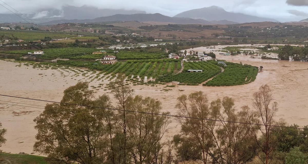
Boosting Climate Resilience: Wetland4Change Project Advances Flood Management Solutions for Mediterranean Coastal Zones
The Mediterranean coastal zone´s combination of multiple severe climate hazards – rising temperatures, water scarcity, sea-level rise, and extreme weather events – makes it a hotspot for highly interconnected climate risks for the ecosystems and societies. Recent catastrophic floods in ...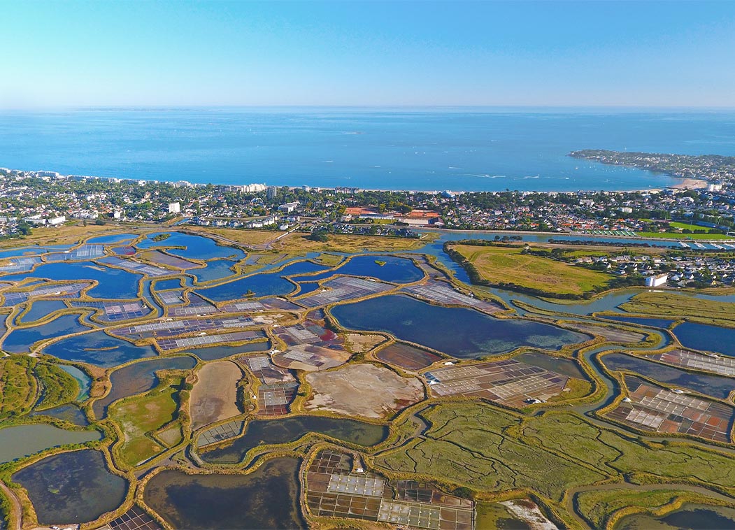
RESTORE4Cs 1st Policy Brief: How can coastal wetlands help achieve EU climate goals?
The first RESTORE4Cs Policy Brief of RESTORE4Cs, “How can coastal wetlands help achieve EU climate goals?“, highlights the importance of European coastal wetlands for reducing Greenhouse Gas emissions. The key messages of the first RESTORE4Cs Policy Brief include: Coastal wetlands are important natural carbon stores, ...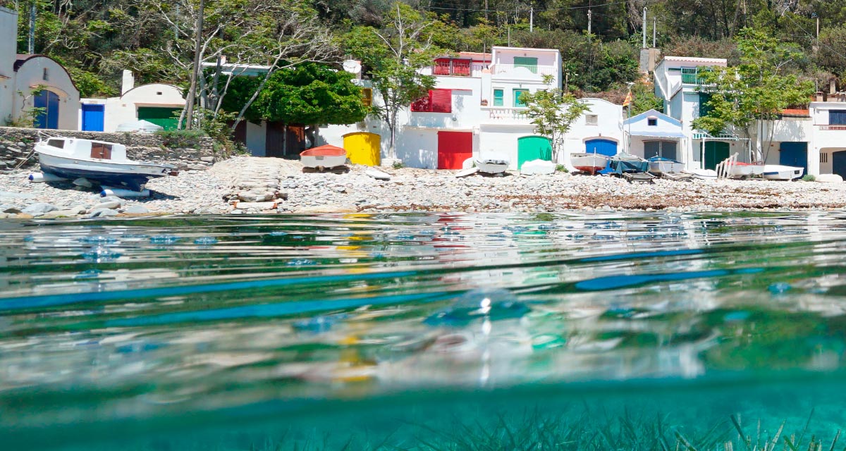
Mapping the Impact of Blue Tourism in the Mediterranean
The IUCN Centre for Mediterranean Cooperation with the support of ETC-UMA in the framework of the Blue Tourism Initiative, has released a comprehensive report entitled “Mapping the Impact of Blue Tourism in the Mediterranean: Vulnerability Assessment of Coastal and Marine ...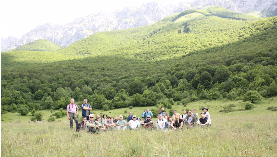
StrategyMedFor Presented at Annual Medforval Meeting 2024
StrategyMedFor was prominently featured at the Annual Medforval Meeting 2024, held from June 5-7 in Fontecchio, Italy. The event brought together 25 practitioners from national parks and natural reserves across 9 Mediterranean countries, providing a valuable platform for StrategyMedFor to ...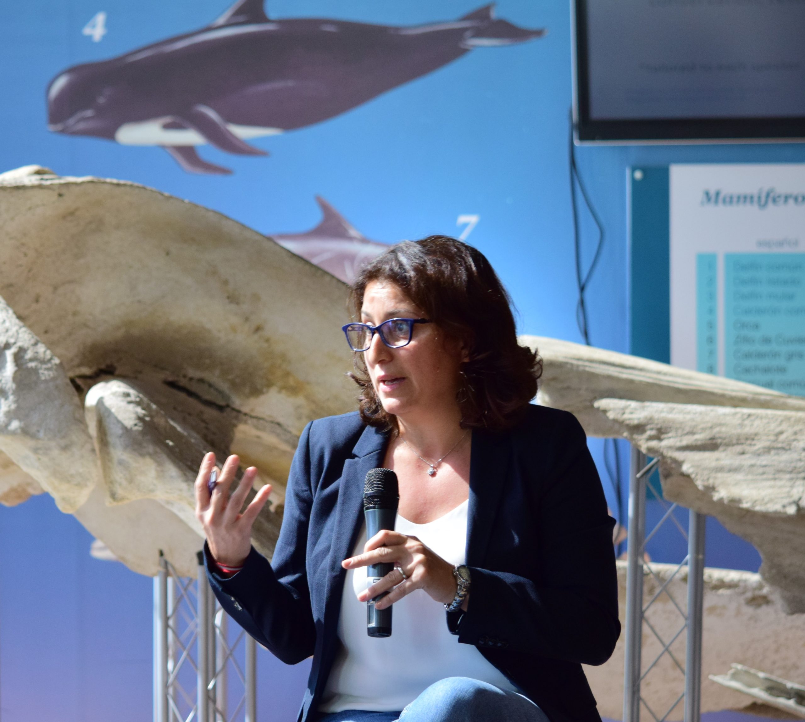
Celebrating leadership in environmental management: an interview with Dania Abdul Malak
From designing integrated ecosystem assessments in Europe and the Mediterranean to transforming outcomes into evidence-based recommendations for regional stakeholders, the European Topic Centre on Spatial Analysis and Synthesis (ETC-UMA) stands as a flagship for territorial cooperation. At the forefront of ...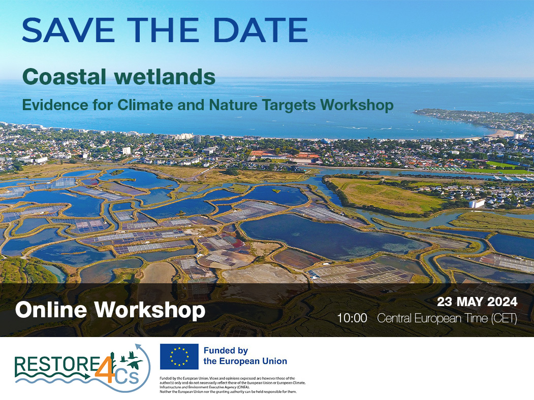
Save the date! Unlocking solutions for coastal conservation in Europe
How can coastal wetlands respond to major European Union objectives such as climate neutrality, biodiversity protection, and pollution reduction? What key role do coastal wetlands play in achieving EU commitments for climate mitigation and biodiversity conservation? The European Topic Centre ...
Towards a Strategy for the Sustainable Management of Mediterranean Forests (StrategyMedFor)
The StrategyMedFor project, co-financed by the Interreg Euro-MED programme, was launched at the University of Malaga during a two day meeting that took place on March 18 and 19, 2024. The European Topic Centre on Spatial Analysis and Synthesis (ETC-UMA), ...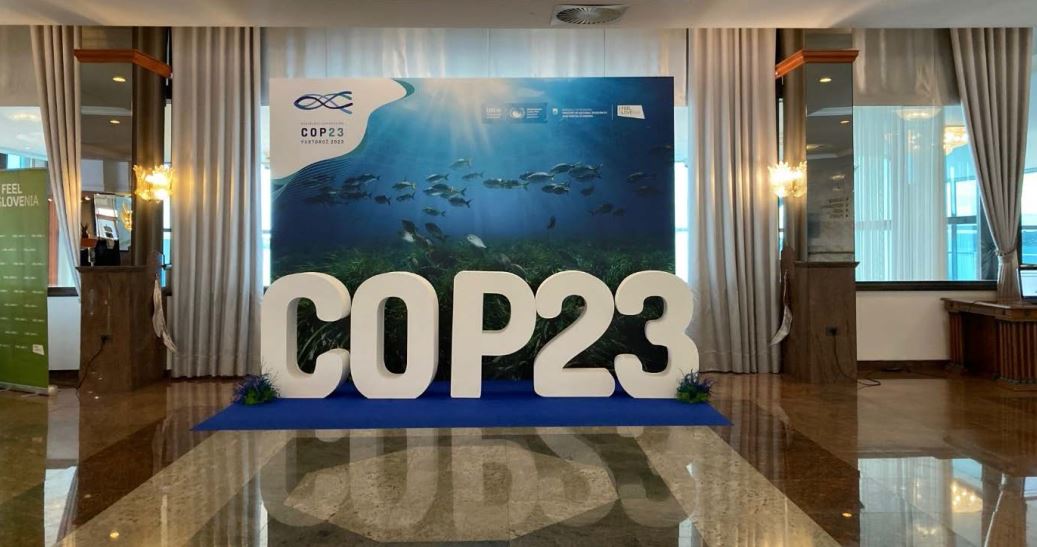
Collaborative science for forests by ETC-UMA showcased in Slovenia during the COP23
As UNEP MAP partner organization, ETC-UMA recently engaged in the organization of a session with Mediterranean institutions under the topic of climate change, entitled: From COASTAL to FOREST ecosystems: Mediterranean Nature-based Solutions to tackle climate change and ensure the Resilience ...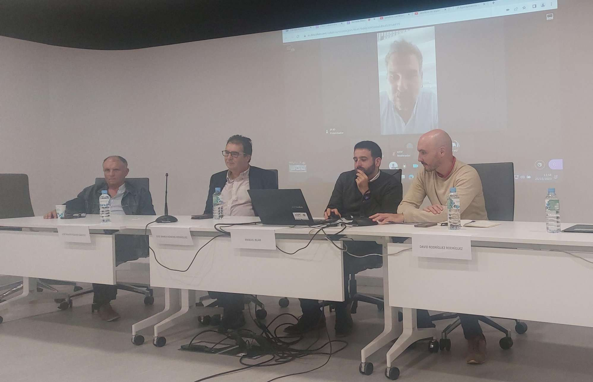
Tools for conserving the Spanish coast
On the initiative of the Instituto Universitario Hábitat Territorio y Digitalización (iHTD) of the University of Malaga, around 70 representatives of Spanish public administrations, researchers, architecture and environmental science players and civil society signed up to the second debate on ...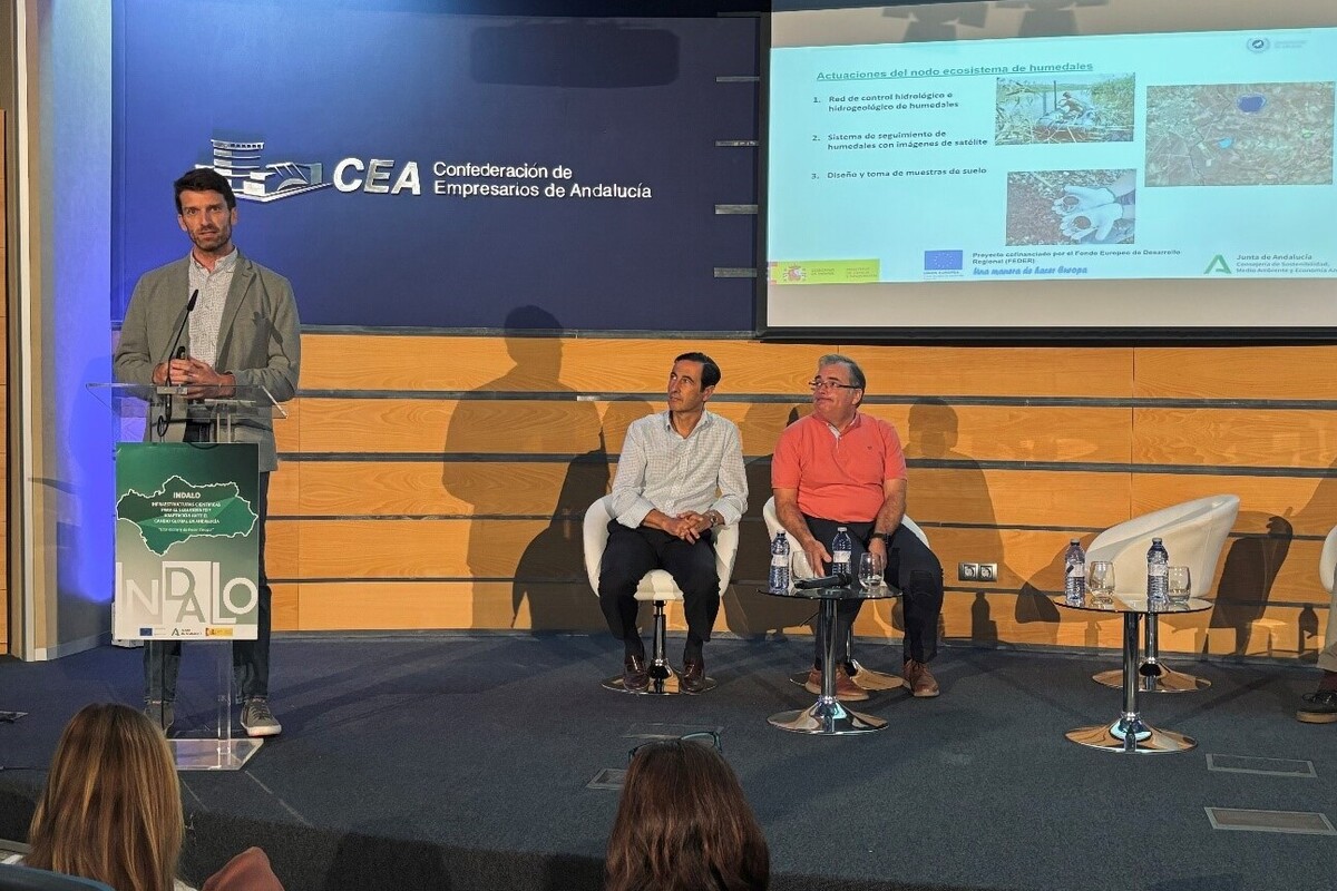
GreenEye System: a cloud-based system to monitor wetlands in Andalusia
Developed in the frame of the LifeWatch INDALO project cofinanced by the European Regional Development Fund (ERDF) for the study of biodiversity and global change in Andalucia, GreenEye System, this new cloud-based monitoring system, provides useful tools for wetlands’ assessment, ...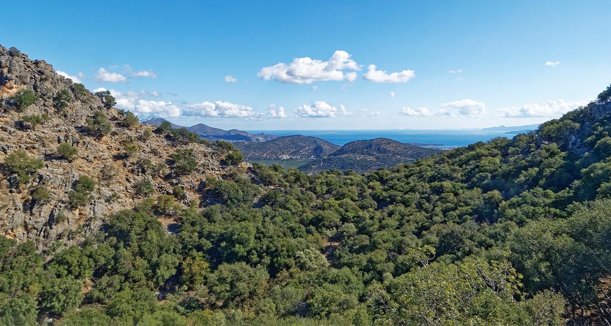
Looking back and forth to Mediterranean Forests
Timely published to enrich the knowledge available to fight fires and climate change challenges after an extremely hot summer, the proceedings of the Seventh Mediterranean Forest Week “Forest and Ecosystem Restoration for the next Mediterranean Generations” held from 21 to ...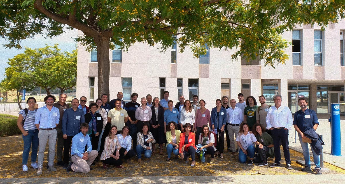
More space for innovative Mediterranean forest data partnerships
The report entitled A knowledge baseline on Mediterranean forests supported by innovation launched in July by ETC-UMA provides a highlight of what Mediterranean countries and institutions are doing to integrate new digital, satellite and Artificial Intelligence technologies into forest monitoring ...
The Earth from Space shown by ETC-UMA at FANTEC 2023
Students from 80 centers from all over Andalusia came together on Friday 19 May 2023 at the High School of Industrial Engineering of the University of Malaga to participate, one more year, in the Andalusian Technology Fair 2023. Antonio Sanchez ...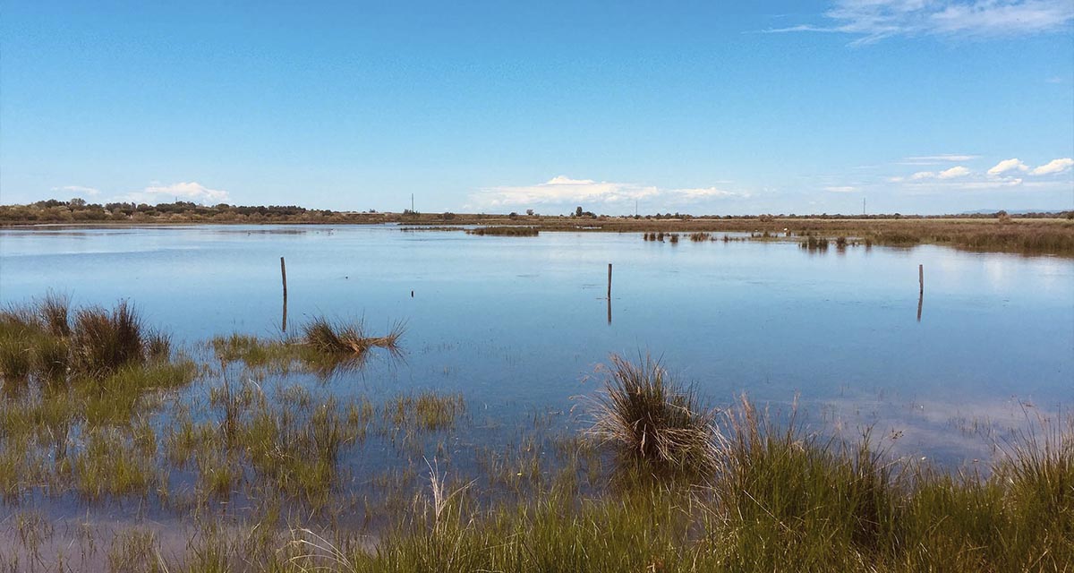
ETC-UMA launches new technologies applied to ecosystem knowledge
Built on the Google Earth Engine cloud computing platform, the new wetland monitoring system based on remote sensing data, developed by ETC-UMA and presented in April 2023 at the National Centre for Environmental Education (CENEAM by its acronym in Spanish) ...