


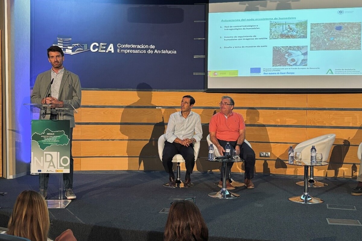
Developed in the frame of the LifeWatch INDALO project cofinanced by the European Regional Development Fund (ERDF) for the study of biodiversity and global change in Andalucia, GreenEye System, this new cloud-based monitoring system, provides useful tools for wetlands’ assessment, monitoring and management decisions.
GreenEye System has been designed with the objective of offering a robust, adaptable, scalable and optimized toolkit for the scientific community, policy makers, public administrations and above all, wetland managers to understand in real time the status and pressures on Andalusian wetlands and thus contribute to decision-making for a better protection of wetland ecosystems. Through the web-app GreenEye Hub, interested users can have access to a tool capable of generating relevant proxies of surface water dynamics, the monitoring of vegetation and the land uses and covers related to those wetlands included in the Wetland Inventory of Andalucia (IHA) until 2022, as well as their respective hydro-ecological delimitations, produced specifically for this project and analysis.
A major pro of this product is that users can incorporate all these tools and processes into their workflows through GreenEye Tools for Google Earth Engine, modifying and adapting them according to their specific needs. As a whole, GreenEye System represents an advancement towards a new generation of versatile, powerful tools that take advantage of latest data processing technologies in the cloud to help protect wetland ecosystems. The ETC-UMA team was very pleased to share these achievements in Seville last September, to foster the transfer of these new tools based on satellite images.
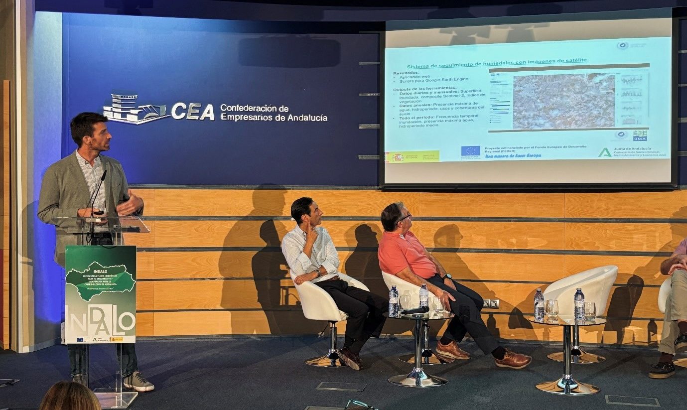
As Gabriel Martorell, technical responsible for this wetland monitoring system at ETC-UMA, explains: “GreenEye System aims to support us in understanding key aspects of wetland dynamics in near-real time by providing access to a set of tools and web applications designed to produce relevant proxies and spatial data. By processing Sentinel-2 satellite imagery aggregated on a monthly basis, the analysis focuses on the evolution of surface water, vegetation and land use and land cover over time. It includes the annual hydroperiod, the monthly flooded area and all-time flood frequency, the maximum water extent; evolution and trends on vegetation in the wetland delimitation and hydro-ecological region, changes in LULC, etc. Results are provided through maps, graphs and data tables in the interactive web application GreenEye Hub and or through custom workflows in Google Earth Engine accessing GreenEye Tools”.
Built on the Google Earth Engine cloud computing platform, the new wetland monitoring system based on remote sensing (RS) data developed by ETC-UMA can process RS images combined with other spatial data and workflow methodologies to get to know the status of the ecosystems in real time. Though currently limited to processing data at a local scale, its use by wetland managers will set the path to future improvements and give a response to other potential analysis needs.
More information: Gabriel Martorell and Christoph Schröder
Links:
GreenEye Hub / Interactive web application: https://etcsiauma.users.earthengine.app/view/greeneye-hub
Indalo project website: https://www.juntadeandalucia.es/medioambiente/portal/proyecto-indalo/el-proyecto-indalo