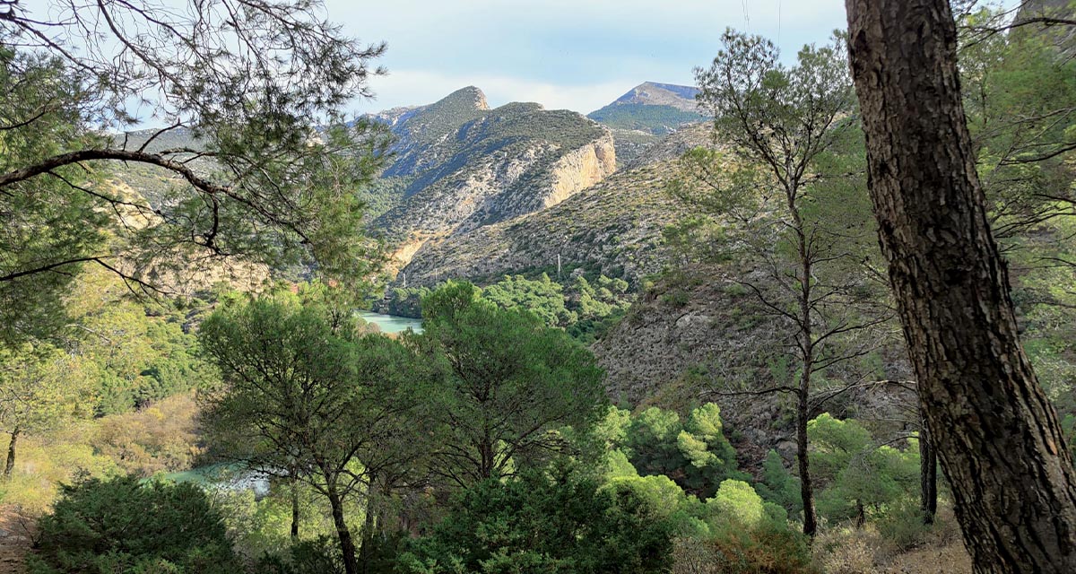
SOSTPARK – Assessing the sustainability of protected areas in Spain
Good for nature... and people
Project summary
Protected Areas (PAs) can be considered the paradigm of sustainability as they are specifically dedicated to the long-term conservation of biodiversity and ecosystem services while accounting for human welfare. of its territory protected under different legal categories of protection. At the same time, it has experienced intense rates of destruction of natural resources, especially soil, due to expansionary policies of residential and infrastructure construction in recent times.
SOSTPARK was an applied research project implemented between October 2015 and October 2018, financed by the Spanish Ministry of Economy and Competitiveness within the State Program of R & D oriented to the Challenges of Society. It sought to assess the integrated sustainability (environmental, social and economic) of different protected area networks in Spain.
The assessment was achieved by an initial quantitative analysis of the degree of protection (environmental sustainability) conferred by five networks of terrestrial PAs in Spain: Nature Reserves, National Parks, Nature Parks, Sites of Community Importance / Special Conservation Areas, Special Protection Areas for Birds; and one marine PA network (Marine Reserves) and their perceived socioeconomic impacts (social and economic sustainability). A second phase assessed the comprehensive sustainability (environmental, social and economic) of some PAs in Andalusia and investigated the social impacts of environmental research in the region.
Our role
Main outputs
Books
Rodríguez-Rodríguez, D.; Martínez-Vega, J.
Sostenibilidad y áreas protegidas en España. Naturaleza, población y economía Book
CSIC-Catarata, Madrid, 2019, ISBN: 978-84-00-10476-4.
@book{Rodríguez-Rodríguez2019d,

title = {Sostenibilidad y áreas protegidas en España. Naturaleza, población y economía},

author = {D. Rodríguez-Rodríguez and J. Martínez-Vega},

isbn = {978-84-00-10476-4},

year  = {2019},

date = {2019-01-01},

pages = {144},

publisher = {CSIC-Catarata},

address = {Madrid},

series = {Colección Divulgación},

abstract = {Concebidas como paradigmas de la sostenibilidad, las áreas protegidas tienen como objetivo prioritario la conservación de la biodiversidad. Pero son diversos y variados los procesos que amenazan a estos espacios naturales: su fragmentación por la expansión de las zonas urbanas y la construcción de infraestructuras viarias, su aislamiento, el cambio climático, los incendios forestales, el incremento del uso público, la sobreexplotación de acuíferos, el deterioro de la calidad del agua o el agotamiento de los recursos pesqueros. Con el tiempo, la consideración ambiental de dichas áreas se ha ido ampliando hasta incorporar nuevas funciones de tipo social -vinculadas a la mejora de la calidad de vida, de la educación y la salud de las poblaciones locales-, económico -centradas en la creación y mantenimiento de empleo y el incremento de la renta per cápita- e institucional -con las que se pretende alcanzar una gobernanza participativa y representativa-. Junto con la dimensión ambiental, esta obra aporta un enfoque socioeconómico, original y complementario, con el que se propone evaluar globalmente la sostenibilidad de estos espacios y su diversidad, así como los efectos que ha tenido la declaración de áreas protegidas en España. De este modo, ofrece una sólida base para reforzar la colaboración entre investigadores y planificadores territoriales, gestores de áreas protegidas y decisores públicos para orientar una gestión territorial sostenible.},

keywords = {},

pubstate = {published},

tppubtype = {book}

}
Book Chapters
Rodríguez-Rodríguez, D.; Martínez-Vega, J.
In: Suratman, Mohd Nazip (Ed.): National Parks - Management and Conservation, Chapter 8, pp. 204-298, IntechOpen, 2018, ISBN: 978-1-78923-125-0.
@inbook{Rodríguez-Rodríguez2018c,

title = {A Centennial Path Towards Sustainability in Spanish National Parks: Biodiversity Conservation and Socioeconomic Development (1918-2018)},

author = {D. Rodríguez-Rodríguez and J. Martínez-Vega},

editor = {Mohd Nazip Suratman},

url = {http://dx.doi.org/10.5772/intechopen.73196},

doi = {10.5772/intechopen.73196},

isbn = {978-1-78923-125-0},

year  = {2018},

date = {2018-05-16},

booktitle = {National Parks - Management and Conservation},

pages = {204-298},

publisher = {IntechOpen},

chapter = {8},

abstract = {National Parks (NPs) were the first protected areas (PAs) designated in Spain one century ago. NPs are PAs of exceptional natural and cultural value that are representative of the Spanish natural heritage. Currently, there are 15 NPs in Spain covering almost 400,000 ha, although new site designations are being considered. Spanish NPs’ main objectives are closely linked to the sustainability concept: conserving natural and cultural assets in the long term and promoting public use, environmental awareness, research and socioeconomic development. Here, the history of modern nature conservation in Spain is summarized, with special focus on NPs. Moreover, the main monitoring and assessment initiatives in Spanish National Parks are reviewed. Finally, the major results of two current research projects focusing on the sustainability of Spanish NPs, DISESGLOB and SOSTPARK, are provided.},

keywords = {},

pubstate = {published},

tppubtype = {inbook}

}
Rodríguez-Rodríguez, D.; Martínez-Vega, J.; López, I.
Eficacia de las Áreas Protegidas de España como política de sostenibilidad territorial: el proyecto SOSTPARK Book Chapter
In: Políticas públicas y sociales: globalización, desigualdad y nuevas insurgencias, pp. 197-208, PRENSAS UNIVERSITARIAS DE ZARAGOZA, Zaragoza, 2018.
@inbook{Rodríguez-Rodríguez2018b,

title = {Eficacia de las Áreas Protegidas de España como política de sostenibilidad territorial: el proyecto SOSTPARK},

author = {D. Rodríguez-Rodríguez and J. Martínez-Vega and I. López },

year  = {2018},

date = {2018-01-01},

booktitle = {Políticas públicas y sociales: globalización, desigualdad y nuevas insurgencias},

pages = {197-208},

publisher = {PRENSAS UNIVERSITARIAS DE ZARAGOZA},

address = {Zaragoza},

institution = {Universidad de Zaragoza},

abstract = {La aceleración de la globalización esta produciendo cambios profundos en el tejido social de las sociedades occidentales enfrentándolas a nuevos fantasmas.la crisis iniciada en 2007 ha castigado de manera virulenta a muchos países.},

keywords = {},

pubstate = {published},

tppubtype = {inbook}

}
Journal Articles
Merkohasanaj, M.; Rodríguez-Rodríguez, D.; García-Martínez, M. C.; Vargas-Yáñez, M.; Abdul-Malak, D.
Assessing the environmental effectiveness of the Spanish Marine Reserve Network using remote sensing Journal Article
In: Ecological Indicators, vol. 107, 2019.
@article{Merkohasanaj2019,

title = {Assessing the environmental effectiveness of the Spanish Marine Reserve Network using remote sensing},

author = {M. Merkohasanaj and D. Rodríguez-Rodríguez and M.C. García-Martínez and M. Vargas-Yáñez and D. Abdul-Malak},

url = {https://www.sciencedirect.com/science/article/pii/S1470160X19305758},

doi = {10.1016/j.ecolind.2019.105583},

year  = {2019},

date = {2019-12-01},

journal = {Ecological Indicators},

volume = {107},

abstract = {Healthy marine ecosystems provide a variety of ecosystem services crucial for human wellbeing. Effectively managed Marine Protected Areas (MPAs) are increasingly recognized to be an effective measure to protect endangered species and ensuring healthier ecosystems. This study assesses the environmental effectiveness of the Spanish Marine Reserve Network (MRN) with regard to: 1) water quality: chlorophyll-a concentrations (Chl-a), sea surface temperature (SST), and Salinity; and 2) protected species conservation: coverage and density of Posidonia oceanica (P. oceanica), using a Multiple-Paired-Before-After-Control-Impact (MPBACI) research design. Water quality and protected species indicators were compared before and after Marine Reserve (MR) designation, inside MRs and in different outer control areas of 1 km, 5 km, 10 km and equal-area buffers, for the whole MRN (Marine Reserve Network), by marine ecoregions and for some specific MRs. We used Copernicus Marine Monitoring Remote Sensing data to ascertain water quality values and validated their accuracy compared to in-situ data as well as the reliability of Chl-a concentration derived from Sentinel 2 (S2) images. Water quality results reveal significant differences in mean Chl-a and Chl-a range, mean Salinity and SST range between cases (inside MRs) and 5 km-buffer control areas for the entire MRN. Analyses by ecoregion showed no significant differences in water quality between cases and controls in the Western Mediterranean ecoregion or in the Azores, Canaries and Madeira ecoregion, whereas the Alboran Sea ecoregion MRs had higher mean Chl-a concentration and lower mean Salinity, mean SST and SST range than all controls. Results on P. oceanica beds showed a significant increase in P. oceanica density (almost twice) inside Tabarca MR (TBA) compared to outer control cases, but no significant changes in P. oceanica coverage. Validation of Remote Sensing (RS) data using in-situ measurements demonstrated significant differences for Chl-a concentration and no significant differences for SST and Salinity between both techniques. Chl-a concentration by S2 reveals statistically significant differences with in-situ data. Our findings suggest environmental effectiveness of the Spanish MRs and still limited sensitivity of open source medium resolution RS tools to assess MPA effectiveness.},

keywords = {},

pubstate = {published},

tppubtype = {article}

}
Rodríguez-Rodríguez, D.; Merkohasanaj, M.; López, I.
Social and economic sustainability of multiple-use marine protected areas in Spain: A mixed methods, multi-scale study Journal Article
In: Ocean & Coastal Management, vol. 171, pp. 47-55, 2019.
@article{Rodríguez-Rodríguez2019,

title = {Social and economic sustainability of multiple-use marine protected areas in Spain: A mixed methods, multi-scale study},

author = {D. Rodríguez-Rodríguez and M. Merkohasanaj and I. López},

url = {https://www.sciencedirect.com/science/article/pii/S0964569118307397},

doi = {10.1016/j.ocecoaman.2019.01.013},

year  = {2019},

date = {2019-04-01},

journal = {Ocean & Coastal Management},

volume = {171},

pages = {47-55},

abstract = {Social perception is key to the success of biodiversity conservation policies. A range of socioeconomic guilds can be affected by marine conservation. Among them, fishers are the ones most likely affected and affecting marine protected areas (MPAs). Here, we assessed the perceptions on the sustainability of a type of multiple-use MPA, Fishing Reserves (FRs), by a broad spectrum of national (n = 16) and local (n = 14) stakeholder organisations pertaining to six socioeconomic sectors via two online surveys in Spain. We compared organisational perception by stakeholder organisations, and specifically by the fishing guild, with official fishing statistics for six FRs between 1998 and 2016 using a Before-After-Impact (BAI) research design. Spanish FRs were regarded as sustainable marine management tools by most marine and coastal stakeholders, with environmental effects perceived to be more positive than social and economic ones, respectively. However, primary sector organisations stated null or negative effect of FR designation on their activities, although official statistics showed a moderate to large increase in a number of professional fishing-related variables, including number of boats and crews, after designation of most FRs. Spatial scale did not affect stakeholder perception of local socioeconomic effects of FRs, although some relevant local socioeconomic variables that were thought to vary most after FR designation differed across scales. Some suggested managerial improvements for increased socioeconomic sustainability of Spanish FRs by the professional fishing guild included: greater stakeholder engagement in FR designation and operation, more flexible fishing regulations and stricter control of recreational fishing.},

keywords = {},

pubstate = {published},

tppubtype = {article}

}
Rodríguez-Rodríguez, D.; Abdul-Malak, D.; Schröder, C.; McGlade, K.; Pascual, D.
Bridging the research-management gap in environmental conservation: A case study from Andalusia, southern Spain Journal Article
In: SDRP Journal of Earth Sciences & Environmental Studies, vol. 4, no. 2, pp. 579-588, 2019, ISBN: 2472-6397 .
@article{Rodríguez-Rodríguez2019b,

title = {Bridging the research-management gap in environmental conservation: A case study from Andalusia, southern Spain},

author = {D. Rodríguez-Rodríguez and D. Abdul-Malak and C. Schröder and K. McGlade and D. Pascual},

url = {https://www.siftdesk.org/article-details/Bridging-the-research-management-gap-in-environmental-conservation-A-case-study-from-Andalusia-southern-Spain/489},

doi = {10.25177/JESES.4.2.RA.489},

isbn = {2472-6397 },

year  = {2019},

date = {2019-04-01},

journal = {SDRP Journal of Earth Sciences & Environmental Studies},

volume = {4},

number = {2},

pages = {579-588},

abstract = {Science is believed to provide the most objective basis for effective decision-making, though it is rarely implemented in environmental management. Here we reflect on the results of a regional workshop aimed at exploring the knowledge and use of scientific evidence by environmental managers in an ecologically diverse region in southern Spain: Andalusia. Scientists were moderately aware of regional managerial needs. They stated that regional managers’ needs could be mostly addressed by their research centers, and that they often considered managerial needs when conducting research. In turn, environmental managers had limited knowledge of, and interest in, the environmental research carried out in the region. However, managers stated they frequently use scientific outputs in their jobs. The main perceived barriers to effective use of science in regional environmental management by both groups were: different priorities by each group, and limited time of managers to check scientific information. Scientists also perceived that managers were not sufficiently engaged in research and that they were often reluctant to change their usual managerial practices. Managers mentioned inadequate scientific dissemination formats. The perceived solutions to those issues were: reinforcing collaboration mechanisms between both groups; aligning research to managerial needs more closely; greater managers’ awareness of adaptive management; and developing user friendly, synthetic communication tools for managers. The insights from the workshop are intended to help scientists and managers to enhance effective use of environmental science in Spain and elsewhere.},

keywords = {},

pubstate = {published},

tppubtype = {article}

}
Rodríguez-Rodríguez, D.; López, I.
Socioeconomic effects of protected areas in Spain across spatial scales and protection levels Journal Article
In: Ambio, vol. 49, pp. 258–270, 2019.
@article{Rodríguez-Rodríguez2019c,

title = {Socioeconomic effects of protected areas in Spain across spatial scales and protection levels},

author = {D. Rodríguez-Rodríguez and I. López},

url = {https://doi.org/10.1007/s13280-019-01160-7},

doi = {10.1007/s13280-019-01160-7},

year  = {2019},

date = {2019-03-11},

journal = {Ambio},

volume = {49},

pages = {258–270},

abstract = {Impacts of the legal designation of protected areas (PAs) may have contrasting implications for different stakeholders, and at different spatial scales. In this study, we analysed the organisational perception on the socioeconomic effects of PA designation from all sectors of activity in Spain, accounting for PAs’ legal stringency. A semi-structured questionnaire was administered to 68 organisations at national, regional (Andalusia) and local scales (two municipalities in the Almeria province, Andalusia) through an online survey. Local stakeholders and the primary, secondary and tertiary sectors were most concerned about the social and economic impacts of PAs designation on their organisations. By contrast, organisations at the national or regional scales together with public institutions, the quaternary sector and other miscellaneous stakeholders perceived predominantly positive effects. Only national organisations perceived an increase in local social and economic effects from the designation of legally stringent PAs with regard to multiple-use PAs.},

keywords = {},

pubstate = {published},

tppubtype = {article}

}
Rodríguez-Rodríguez, D.; Sebastiao, J.; Tierra, A. R. Salvo
In: Land Degradation & Development , vol. 30, no. 8, pp. 991-1005, 2019.
@article{Rodríguez-Rodríguez2019e,

title = {Effect of protected area networks at reducing land development across inland and coastal areas and climatic condictions of a rapidly developing country, Spain},

author = {D. Rodríguez-Rodríguez and J. Sebastiao and A.R. Salvo Tierra},

url = {https://onlinelibrary.wiley.com/doi/full/10.1002/ldr.3286},

doi = {10.1002/ldr.328},

year  = {2019},

date = {2019-02-13},

journal = {Land Degradation & Development },

volume = {30},

number = {8},

pages = {991-1005},

abstract = {Protected areas (PAs) aim at safeguarding biodiversity and ecosystem services in the long term. Despite the remarkable growth in area covered by PAs in recent years, biodiversity trends continue to worsen as a result of serious global pressures such as habitat destruction and degradation. One main cause of habitat destruction and degradation is land development that implies the replacement of natural land uses–land covers (LULCs) with artificial ones. Here, we assessed the effectiveness of four PA networks at preventing land development in Spain, a biodiversity‐rich country that has experienced recent rapid environmental transformations, using two models of increased validity: an original model and a biophysically enhanced model. We applied a before–after control–impact (BACI) design whereby absolute artificial area increase (AAI) and relative artificial area increase (RAI) were compared across PA categories (nature reserves [NRs], nature parks [NPs], Sites of Community Importance [SCIs], and Special Protection Areas [SPAs]), study zones (coastal and inland), and climates (Atlantic and Mediterranean) using CORINE Land Cover (CLC) data and two control zones: 1‐ and 5‐km buffers around protected polygons. NRs prevented land development, whereas other categories reduced it moderately to very substantially in the assessed period. AAI was especially intense in inland SPAs and NPs. NRs and NPs were the most effective PA categories inland, whereas NRs and SPAs were the most effective ones on the coast. Land development was greater on the Spanish coast than inland inside and outside PAs, especially around Macaronesian and Mediterranean PAs. Atlantic PAs experienced similar or greater land development values than surrounding areas. Our results are intended to guide future conservation efforts in Spain, chiefly on its heavily pressured coastal environment.},

keywords = {},

pubstate = {published},

tppubtype = {article}

}
Rodríguez-Rodríguez, D.; Martínez-Vega, J.
Analysing subtle threats to conservation: a nineteen year assessment of fragmentation and isolation of Spanish protected areas Journal Article
In: Landscape and Urban Planning, vol. 185, pp. 107-116, 2019.
@article{Rodríguez-Rodríguez2019f,

title = {Analysing subtle threats to conservation: a nineteen year assessment of fragmentation and isolation of Spanish protected areas},

author = {D. Rodríguez-Rodríguez and J. Martínez-Vega},

url = {https://doi.org/10.1016/j.landurbplan.2019.01.012},

doi = {10.1016/j.landurbplan.2019.01.012},

year  = {2019},

date = {2019-02-06},

journal = {Landscape and Urban Planning},

volume = {185},

pages = {107-116},

abstract = {Natural habitat fragmentation in and isolation of protected areas (PAs) are two ancillary but common threats that may have serious consequences to biodiversity conservation in the long term. They were assessed in four PA networks of diverse legal and managerial regimes across a highly biodiverse country, Spain, between 1987 and 2006, a period of intense development in the country: Nature Reserves (NRs), Nature Parks (NPs), Sites of Community Importance (SCIs) and Special Protection Areas (SPAs). ‘Contagion edge proportion’ was used to assess inner PA fragmentation by artificial land uses-land covers (LULCs), whereas two PA isolation indicators were compared: (a) increased proportion of artificial LULCs in the 500 m-buffers surrounding each protected polygon (PP); and (b) shortest distance to the nearest PA in 2006. In those 19 years, fragmentation increased in all PA networks except in Nature Reserves (NRs), which likely reflects high conservation effectiveness of stringent legislation. Isolation by artificial LULCs also increased in that period for all PA categories. NPs were the PA category with the highest values of fragmentation and isolation by 2006. Nevertheless, fragmentation and isolation values were still low on average by 2006 for all PA categories, although fine-scale fragmentation and isolation could not be assessed. Both PA isolation indicators yielded different results and were thus complementary. ‘Distance to major cities’ was the most strongly correlated variable with both pressures, which suggests that greater attention should be paid to such pressures to peri-urban PAs by territorial planners.},

keywords = {},

pubstate = {published},

tppubtype = {article}

}
Rodríguez-Rodríguez, D.; Martínez-Vega, J.; Echavarría, P.
In: International Journal of Applied Earth Observation and Geoinformation, vol. 74, pp. 169-179, 2019.
@article{Rodríguez-Rodríguez2019g,

title = {A twenty year GIS-based assessment of environmental sustainability of land use changes in and around protected areas of a fast developing country: Spain},

author = {D. Rodríguez-Rodríguez and J. Martínez-Vega and P. Echavarría},

url = {https://doi.org/10.1016/j.jag.2018.08.006},

doi = {10.1016/j.jag.2018.08.006},

year  = {2019},

date = {2019-02-01},

journal = {International Journal of Applied Earth Observation and Geoinformation},

volume = {74},

pages = {169-179},

abstract = {Spain has experienced massive recent socioeconomic changes that have had an influence on biodiversity and landscapes through land use-land cover (LULC) changes. Protected areas (PAs) seek to conserve biodiversity by establishing a legal and, sometimes, managerial regime that forbids or restricts LULC changes that are damaging to biodiversity. Here, we used CORINE Land Cover (CLC) data between 1987 and 2006 to assess differences in LULC changes and processes of change as metrics of effectiveness in four PA networks of clear legal and managerial characteristics in Spain: Nature reserves (NRs), Nature parks (NPs), Sites of Community Importance (SCIs) and Special Protection Areas (SPAs). We also compared LULC changes and processes of change around each PA network applying a modified Before-After-Control-Impact (BACI) research design with two increasingly distant control areas and two models of increased validity. The four PA networks were more environmentally sustainable than their surrounding areas although an effectiveness gradient was shown: NRs > SCIs > SPAs > NPs, suggesting little influence of PA management on LULC changes overall. Another gradient of environmental sustainability of control areas was evident: SCIs > SPAs > NPs > NRs. Proximal controls were more sustainable than distant ones. The main LULC increases inside PAs affected agro-forestry areas and transitional woodland-shrub, whereas artificial surfaces, permanently irrigated lands and burned areas prevailed in the proximal and distant controls. Three main LULC processes of change inside and around Spanish PAs outstood: forest succession, land development, and new irrigated areas, the two former chiefly affecting surrounding areas and posing serious threats to effective biodiversity conservation.


},

keywords = {},

pubstate = {published},

tppubtype = {article}

}
Rodríguez-Rodríguez, D.; López, I.
Effects of Legal Designation and Management of a Multiple-Use Protected Area on Local Sustainability Journal Article
In: Sustainability , vol. 10, no. 9, pp. 3176, 2018.
@article{Rodríguez-Rodríguez2018,

title = {	Effects of Legal Designation and Management of a Multiple-Use Protected Area on Local Sustainability},

author = {D. Rodríguez-Rodríguez and I. López},

url = {https://doi.org/10.3390/su10093176},

doi = {10.3390/su10093176},

year  = {2018},

date = {2018-09-05},

journal = {Sustainability },

volume = {10},

number = {9},

pages = {3176},

abstract = {The designation of protected areas (PAs) entails environmental, social, and economic effects to local stakeholders through access restriction to natural resources. We used a mixed methods research framework that combines time series analysis and stakeholder surveys to elicit objective and subjective effects of legal and managerial designation of Sierra Cabrera-Bedar Natura 2000 site on local sustainability in south-eastern Spain. Firstly, 47 environmental, social, and economic variables for which official time series data were available were assessed using a multiple-paired-Before-After-Control-Impact research design, where “Impacts” were: (1) legal designation of Sierra Cabrera-Bedar as a Site of Community Importance (SCI); and (2) management implementation of the site as an Special Area of Conservation (SAC). The two municipalities having most of their territories in Sierra Cabrera-Bedar SCI/SAC were selected as ‘Cases’, whereas two similar municipalities outside the PA were chosen as ‘Controls’. Additionally, 13 local organisations pertaining to 11 socioeconomic guilds from case municipalities were surveyed on their perceived effects of the designation Sierra Cabrera-Bedar as an SAC on 28 social and economic variables. The effects of legal and managerial protection of the site on local sustainability were unclear although greater SAC sustainability is suggested, even though limited time series availability for the SAC period increases uncertainty. Local organisations perceived mostly limited and negative socioeconomic effects from SAC designation. Disagreement between statistical and perceptual results suggests use of time series analyses for accurate assessment of socioeconomic effects of PAs in Spain.},

keywords = {},

pubstate = {published},

tppubtype = {article}

}
Rodríguez-Rodríguez, D.; Martínez-Vega, J. (Ed.)
Effect of legal protection and management of protected areas at preventing land development: a Spanish case study Journal Article
In: Regional Environmental Change, vol. 18, pp. 2483-2494, 2018.
@article{Rodríguez-Rodríguez2018d,

title = {Effect of legal protection and management of protected areas at preventing land development: a Spanish case study},

editor = {D. Rodríguez-Rodríguez and J. Martínez-Vega},

url = {https://doi.org/10.1007/s10113-018-1369-8},

doi = {10.1007/s10113-018-1369-8},

year  = {2018},

date = {2018-06-26},

journal = {Regional Environmental Change},

volume = {18},

pages = {2483-2494},

abstract = {Protected areas are entrusted long-term biodiversity conservation, but measures of their effectiveness are limited, methodologically diverse and, sometimes, of improvable accuracy. Using a semi-experimental BACI research design, this study assesses the environmental effectiveness of two highly related multiple-use protected area (PA) categories of European relevance at preventing land development: Sites of Community Importance (SCIs) and Special Areas of Conservation (SACs). The non-overlapping SCI and SAC polygon networks of a northern Spanish region (Navarra) were used as the best possible case studies in the country because their main difference is implementation of active management (in the case of SACs). One kilometre outer buffer areas were created to serve as controls for each of the two PA networks. Three spatial-statistical models that progessively consider exclusion areas according to additional land protection legislation and biophysical covariates were tested to maximise their accurateness. Percentual increases of land development were compared for each of the four groups: SCIs, SCI-Buffers, SACs and SAC-Buffers, using Corine Land Cover (CLC) data from 2006 and 2012. Results show that SACs have been fully effective at preventing land development in the Navarra region whereas some exceptional development occurred in SCIs, even though their biophysical characteristics made them less prone to development than their buffer areas. Additional legislation seems to slightly add to protection inside PAs and provides clear protection to surrounding buffer areas. Residential uses were minor among the new artificial uses around Navarra’s PAs.},

keywords = {},

pubstate = {published},

tppubtype = {article}

}
Rodríguez-Rodríguez, D.; Martínez-Vega, J.
Protected area effectiveness against land development in Spain Journal Article
In: Journal of Environmental Management, vol. 215, pp. 345-357, 2018.
@article{Rodríguez-Rodríguez2018g,

title = {Protected area effectiveness against land development in Spain},

author = {D. Rodríguez-Rodríguez and J. Martínez-Vega },

url = {https://doi.org/10.1016/j.jenvman.2018.03.011},

doi = {10.1016/j.jenvman.2018.03.011},

year  = {2018},

date = {2018-04-02},

journal = {Journal of Environmental Management},

volume = {215},

pages = {345-357},

abstract = {Land use-land cover (LULC) changes towards artificial covers are one of the main global threats to biodiversity conservation. In this comprehensive study, we tested a number of methodological and research hypotheses, and a new covariate control technique in order to address common protected area (PA) assessment issues and accurately assess whether different PA networks have had an effect at preventing development of artificial LULCs in Spain, a highly biodiverse country that has experienced massive socioeconomic transformations in the past two decades. We used digital census data for four PA networks designated between 1990 and 2000: Nature Reserves (NRs), Nature Parks (NPs), Sites of Community Importance (SCIs) and Special Protection Areas (SPAs). We analysed the effect of explanatory variables on the ecological effectiveness of protected polygons (PPs): Legislation stringency, cummulative legal designations, management, size, age and bio-physical characteristics. A multiple Before-After-Control-Impact (BACI) semi-experimental research design was used whereby artificial land cover increase (ALCI) and proportional artificial land cover increase (PALCI) results were compared inside and outside PAs, using 1 km and 5 km buffer areas surrounding PAs as controls. LULC data were retrieved from Corine Land Cover (CLC) 1990 and 2006 data. Results from three spatial-statistical models using progressively restrictive criteria to select control areas increasingly more accurate and similar to the assessed PPs were compared. PAs were a generally effective territorial policy to prevent land development in Spain. NRs were the most effective PA category, with no new artificial land covers in the assessed period, although exact causality could not be attributed due to legal overlaps. SPAs were the least effective category, with worse ALCI data than their control areas. Legal protection was effective against land development, which was influenced by most bio-physical variables. However, cumulative legal designations and PA management did not seem to influence land development. The spatial-statistical technique used to make cases and control environmentally similar did not produce consistent outcomes and should be refined.},

keywords = {},

pubstate = {published},

tppubtype = {article}

}
Rodríguez-Rodríguez, D.; Martínez-Vega, J.
Representation and protection of the threatened biodiversity by the largest Spanish regional network of protected areas Journal Article
In: Endangered Species Research, vol. 35, pp. 125-139, 2018.
@article{Rodríguez-Rodríguez2018e,

title = {Representation and protection of the threatened biodiversity by the largest Spanish regional network of protected areas},

author = {D. Rodríguez-Rodríguez and J. Martínez-Vega},

url = {https://doi.org/10.3354/esr00878},

doi = {10.3354/esr00878},

year  = {2018},

date = {2018-03-15},

journal = {Endangered Species Research},

volume = {35},

pages = {125-139},

abstract = {The main global strategy to stop biodiversity loss is the designation of protected areas (PAs). Spain is a highly biodiverse country. It has one of the world's greatest terrestrial PA coverages. However, the status of its biodiversity is delicate as a result of serious pressures, and some important areas for biodiversity are outside PAs. We used official census data to spatially assess how 71 habitats of community interest (HCIs), 126 regionally threatened flora, fauna and fungi species and subspecies (RTSs), and 33 globally threatened species or subspecies (GTSs) are represented in a network of 404 PAs in Andalusia, a region rich in biodiversity in southern Spain. We also assessed the legal and managerial protection afforded to these threatened habitats and species by those PAs. The Andalusian PA network expands across one-third of the region’s territory and includes the threatened species’ richest areas. However, it only covers 57% of the area of occupancy of RTSs, 81% of the regional area of occupancy of GTSs, and 53% of the extent of HCIs. Over 61% of the regional PA network area is assigned more than 1 PA designation category, although cumulative legal protection is marginally related to RTS richness and unrelated to GTS richness. RTSs and especially GTSs occupy the most relative area in Ramsar sites (i.e. wetlands of international importance), although these are of relatively minor importance for threatened habitats. Wetlands and agricultural areas are the broad ecosystem types showing the greatest numbers of RTSs and GTSs. Seven GTSs were not included in the Andalusian Register of Threatened Species. One hundred and eleven unprotected Areas of High Importance for Threatened Species (AHITSs) and one Area of High Importance for Threatened Biodiversity (AHITB) were identified. Those species and sites are good candidates for a targeted expansion of legal protection of biodiversity in the region.},

keywords = {},

pubstate = {published},

tppubtype = {article}

}
Rodríguez-Rodríguez, D.
Rapid assessment of protection and ecological effectiveness of the Spanish Fishing Reserve Network Journal Article
In: Marine Policy, vol. 90, pp. 29-36, 2018.
@article{Rodríguez-Rodríguez2018f,

title = {Rapid assessment of protection and ecological effectiveness of the Spanish Fishing Reserve Network},

author = {D. Rodríguez-Rodríguez},

url = {https://doi.org/10.1016/j.marpol.2018.01.009},

doi = {10.1016/j.marpol.2018.01.009},

year  = {2018},

date = {2018-02-13},

journal = {Marine Policy},

volume = {90},

pages = {29-36},

abstract = {Fishing Reserves (FRs) are primarily designated for the enhancement of local fisheries and, secondarily, for biodiversity conservation. In Spain, FRs are considered marine protected areas (MPAs) and included in the country's MPA network. MPAs’ ecological effectiveness is linked to a number of legal, managerial and bio-physical factors. With the amount of MPA area rapidly rising and conservation funds largely stagnant or decreasing, rapid, cost-effective MPA assessment techniques are becoming increasingly useful to verify fulfillment of global conservation targets and ascertain potential conservation effectiveness. Here, a rapid MPA protection assessment framework and one MPA ecological effectiveness framework were applied to the Spanish Network of 10 FRs (FRN): the MaPAF and NEOLI frameworks. The FRN was moderately legally protected, with over 50.5% of its area having three or more overlapping legal designations, but only 3.8% of the FRN's area being no-take. All FRs had management plans and active surveillance. According to MaPAF, Columbretes FR was the most highly legally protected whereas Cabo de Palos was the FR with the greatest managerial effort. Both rank highest in protection. In contrast, Masía Blanca FR and Alborán FR were the least legally protected whereas Alborán FR and Graciosa FR were the least managerially protected FRs of the FRN and rank the lowest in protection, respectively. According to the NEOLI framework, Columbretes would also be the most effective FR whereas Masía Blanca FR would be the least ecologically effective. These results can help to spur and better allocate conservation efforts across the fastly growing Spanish MPA network.},

keywords = {},

pubstate = {published},

tppubtype = {article}

}
Rodríguez-Rodríguez, D.; Martínez-Vega, J.
Assessing recent environmental sustainability in the Spanish network of National Parks and their statutory peripheral areas Journal Article
In: Applied Geography, vol. 89, pp. 22-31, 2017.
@article{Rodríguez-Rodríguez2017,

title = {Assessing recent environmental sustainability in the Spanish network of National Parks and their statutory peripheral areas},

author = {D. Rodríguez-Rodríguez and J. Martínez-Vega },

url = {https://doi.org/10.1016/j.apgeog.2017.09.008},

doi = {10.1016/j.apgeog.2017.09.008},

year  = {2017},

date = {2017-09-29},

journal = {Applied Geography},

volume = {89},

pages = {22-31},

abstract = {Land use-land cover (LULC) changes and wildfires in the Spanish Network of terrestrial National Parks (NPs) and their legally designated peripheral areas, including Peripheral Protection Zones (PPZs) and Socioeconomic Influence Zones (SIZs), were assessed as indicators of recent territorial environmental sustainability trends. Level three, Corine Land Cover (CLC) data between 2005 and 2011 were compared. Official wildfire digital data were obtained from the European Commission for the 2005–2011 period. Results show increasing numbers of LULC changes along the protection gradient: NPs < PPZs < SIZs. NPs were, in general, highly stable regarding LULC changes and less affected by wildfires, which suggests high environmental effectiveness of legal and managerial protection afforded to the Spanish NP Network. Three study areas (SAs) were very stable in the analysed period in all their zones: Aigüestortes, Ordesa y Monte Perdido and Caldera de Taburiente. In turn, Teide and Doñana were the SAs where LULC changes were more abundant. Unsustainable LULC changes concentrate in NPs' peripheral areas, chiefly in their SIZs, with wildfires being the most widespread pressure in the analysed period. Teide's SA outstands due to its environmentally unsustainable recent LULC changes, with urbanisation and wildfires affecting natural and semi-natural areas. Sustainable territorial planning and management practices should prioritise this SA.},

keywords = {},

pubstate = {published},

tppubtype = {article}

}
More about it

David Rodríguez Rodríguez
Territorial sustainability assessment - Protected areasdavidrr@uma.es
David Rodríguez Rodríguez holds a European-mention PhD in Conservation Biology, an MSc in Ecological Restoration, two BScs: in Biology and in Environmental Sciences, and one University Specialist Degree in GIS and Remote Sensing...
Our partners
Institute of Economy, Geography and Demography, Spanish National Research Council (IEGD-CSIC), Spain
University of Zaragoza, Spain

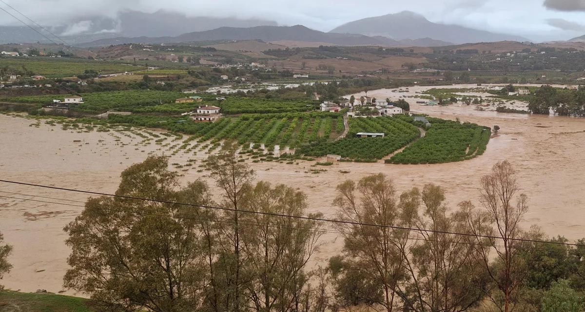
Boosting Climate Resilience: Wetland4Change Project Advances Flood Management Solutions for Mediterranean Coastal Zones
The Mediterranean coastal zone´s combination of multiple severe climate hazards – rising temperatures, water scarcity, sea-level rise, and extreme weather events – makes it a hotspot for highly interconnected climate risks for the ecosystems and societies. Recent catastrophic floods in ...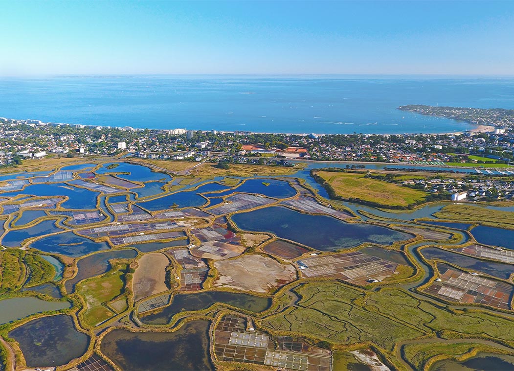
RESTORE4Cs 1st Policy Brief: How can coastal wetlands help achieve EU climate goals?
The first RESTORE4Cs Policy Brief of RESTORE4Cs, “How can coastal wetlands help achieve EU climate goals?“, highlights the importance of European coastal wetlands for reducing Greenhouse Gas emissions. The key messages of the first RESTORE4Cs Policy Brief include: Coastal wetlands are important natural carbon stores, ...
Mapping the Impact of Blue Tourism in the Mediterranean
The IUCN Centre for Mediterranean Cooperation with the support of ETC-UMA in the framework of the Blue Tourism Initiative, has released a comprehensive report entitled “Mapping the Impact of Blue Tourism in the Mediterranean: Vulnerability Assessment of Coastal and Marine ...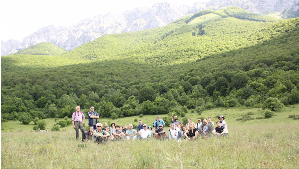
StrategyMedFor Presented at Annual Medforval Meeting 2024
StrategyMedFor was prominently featured at the Annual Medforval Meeting 2024, held from June 5-7 in Fontecchio, Italy. The event brought together 25 practitioners from national parks and natural reserves across 9 Mediterranean countries, providing a valuable platform for StrategyMedFor to ...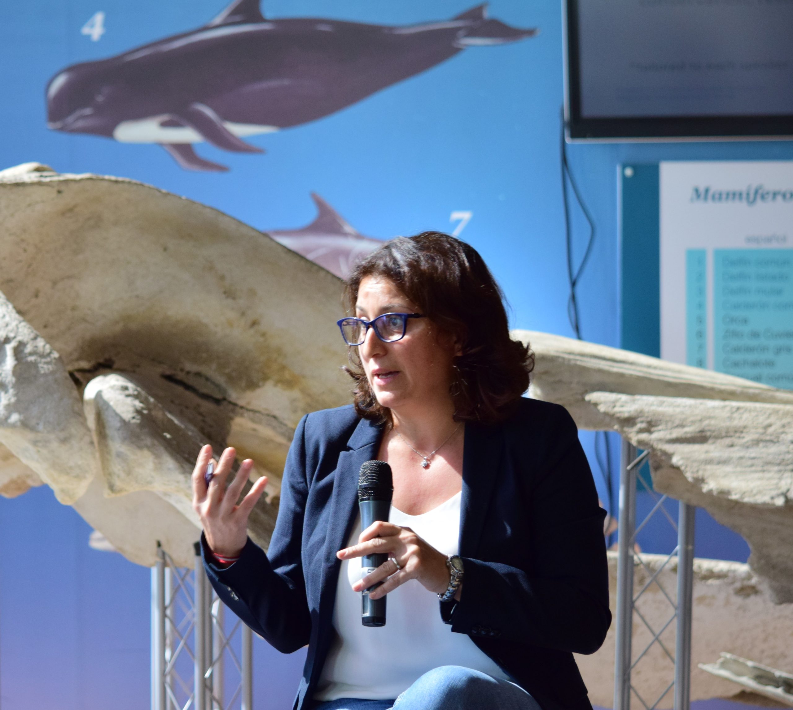
Celebrating leadership in environmental management: an interview with Dania Abdul Malak
From designing integrated ecosystem assessments in Europe and the Mediterranean to transforming outcomes into evidence-based recommendations for regional stakeholders, the European Topic Centre on Spatial Analysis and Synthesis (ETC-UMA) stands as a flagship for territorial cooperation. At the forefront of ...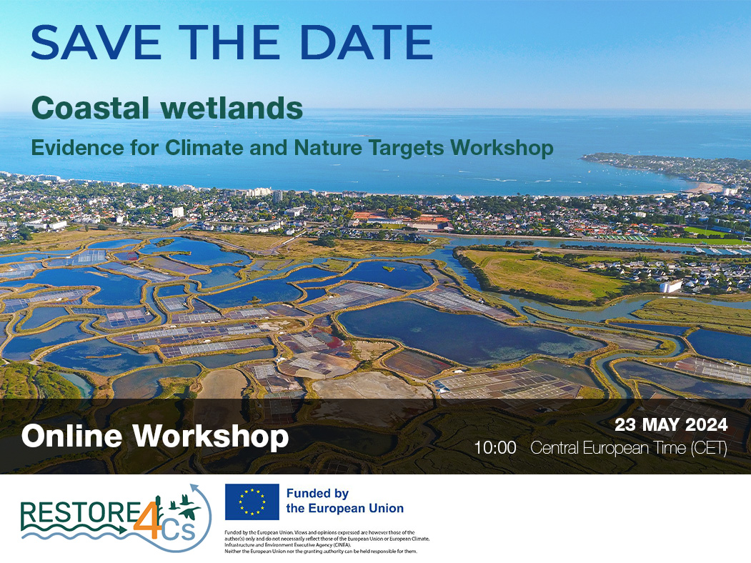
Save the date! Unlocking solutions for coastal conservation in Europe
How can coastal wetlands respond to major European Union objectives such as climate neutrality, biodiversity protection, and pollution reduction? What key role do coastal wetlands play in achieving EU commitments for climate mitigation and biodiversity conservation? The European Topic Centre ...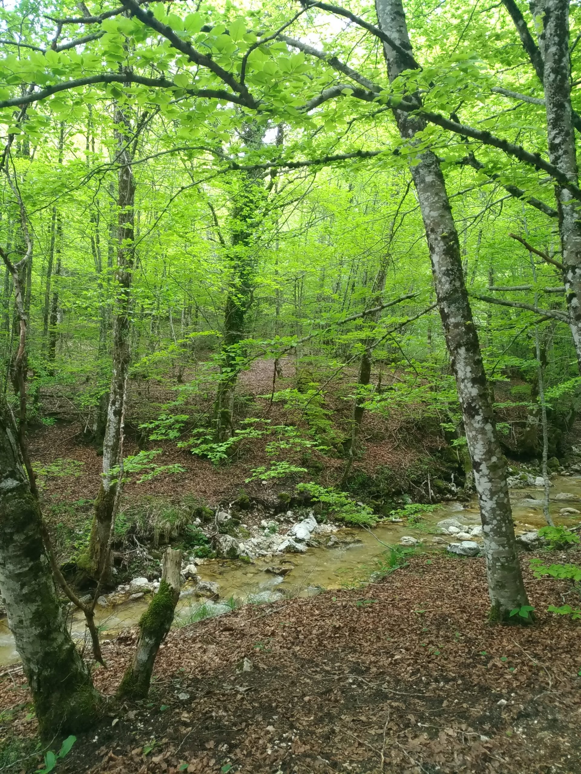
Towards a Strategy for the Sustainable Management of Mediterranean Forests (StrategyMedFor)
The StrategyMedFor project, co-financed by the Interreg Euro-MED programme, was launched at the University of Malaga during a two day meeting that took place on March 18 and 19, 2024. The European Topic Centre on Spatial Analysis and Synthesis (ETC-UMA), ...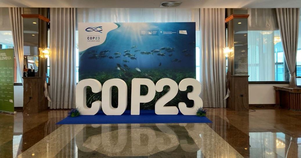
Collaborative science for forests by ETC-UMA showcased in Slovenia during the COP23
As UNEP MAP partner organization, ETC-UMA recently engaged in the organization of a session with Mediterranean institutions under the topic of climate change, entitled: From COASTAL to FOREST ecosystems: Mediterranean Nature-based Solutions to tackle climate change and ensure the Resilience ...
Tools for conserving the Spanish coast
On the initiative of the Instituto Universitario Hábitat Territorio y Digitalización (iHTD) of the University of Malaga, around 70 representatives of Spanish public administrations, researchers, architecture and environmental science players and civil society signed up to the second debate on ...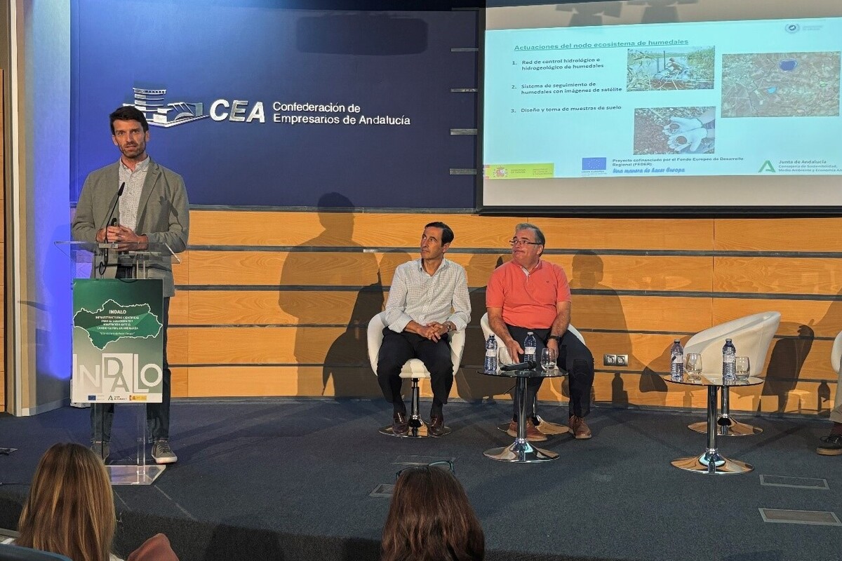
GreenEye System: a cloud-based system to monitor wetlands in Andalusia
Developed in the frame of the LifeWatch INDALO project cofinanced by the European Regional Development Fund (ERDF) for the study of biodiversity and global change in Andalucia, GreenEye System, this new cloud-based monitoring system, provides useful tools for wetlands’ assessment, ...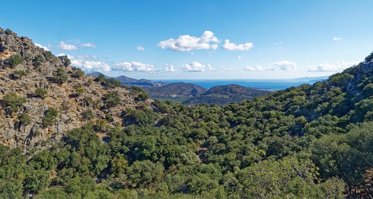
Looking back and forth to Mediterranean Forests
Timely published to enrich the knowledge available to fight fires and climate change challenges after an extremely hot summer, the proceedings of the Seventh Mediterranean Forest Week “Forest and Ecosystem Restoration for the next Mediterranean Generations” held from 21 to ...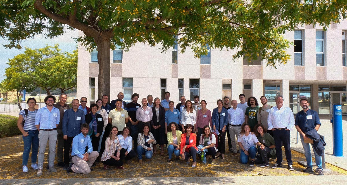
More space for innovative Mediterranean forest data partnerships
The report entitled A knowledge baseline on Mediterranean forests supported by innovation launched in July by ETC-UMA provides a highlight of what Mediterranean countries and institutions are doing to integrate new digital, satellite and Artificial Intelligence technologies into forest monitoring ...
The Earth from Space shown by ETC-UMA at FANTEC 2023
Students from 80 centers from all over Andalusia came together on Friday 19 May 2023 at the High School of Industrial Engineering of the University of Malaga to participate, one more year, in the Andalusian Technology Fair 2023. Antonio Sanchez ...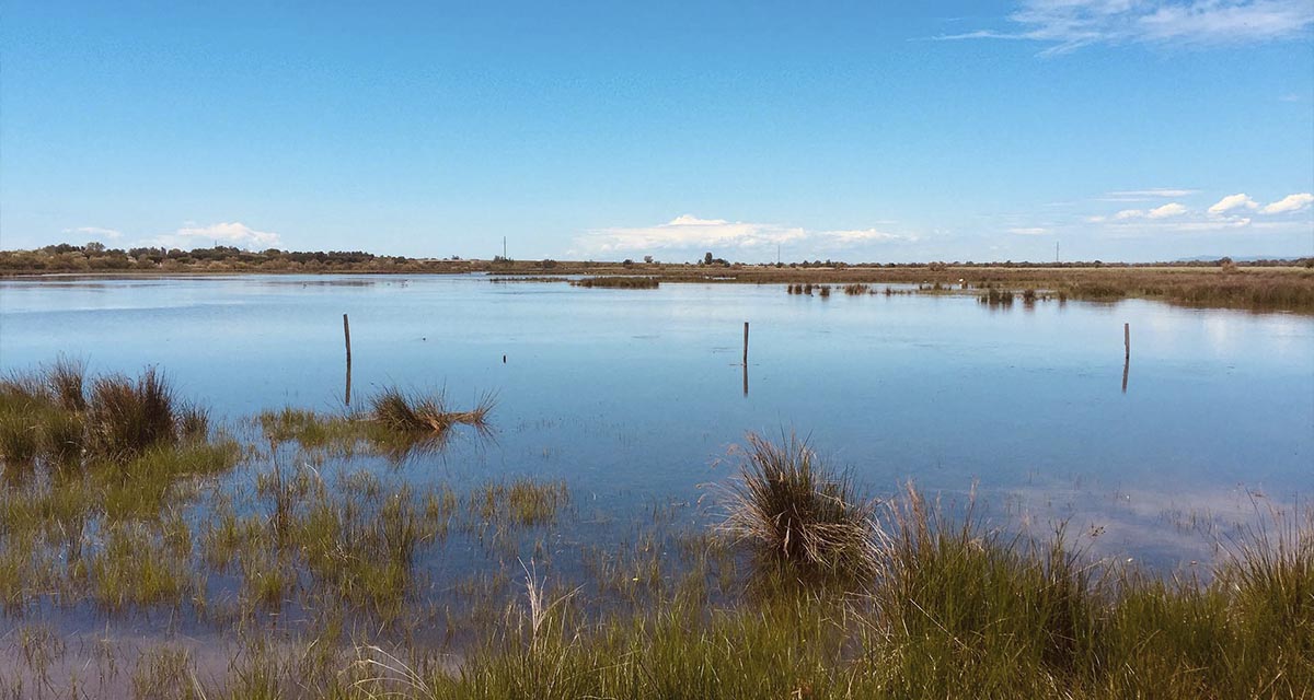
ETC-UMA launches new technologies applied to ecosystem knowledge
Built on the Google Earth Engine cloud computing platform, the new wetland monitoring system based on remote sensing data, developed by ETC-UMA and presented in April 2023 at the National Centre for Environmental Education (CENEAM by its acronym in Spanish) ...