MED-IAMER
Integrated actions to mitigate environmental risks in the Mediterranean Sea
Project summary
Med-IAMER provides recommendations on integrated trans-boundary actions required to mitigate environmental risks in the Mediterranean Sea by putting together knowledge on regional Coastal and Maritime Environmental Pressures (CMEP) and by assessing their gaps. It proposes data Integration and analysis approaches, and maps the condition of existing trans-boundary mechanisms to mitigate these risks, focusing on cooperation and conflicts, and involving regional stakeholders.
Med-IAMER proposes an integrated environmental status assessment to mitigate environmental risks to be addressed at trans-boundary scale in the Mediterranean Sea. The approach draws on the main pressures and the conservation level in the Western Mediterranean and the Adriatic-Ionian ecoregions to identify spatial hotspots of environmental pressures.
Our role
ETC-UMA has been the lead partner during the project. In addition to coordinating the overall partnership and its activities, the ETC-UMA plays a key role in the collection of geospatial and tabular data for various pressure indicators. Once the database was developed, we did the geospatial analysis of the indicators assessed at Mediterranean Sea level and by different subregions. Finally, we supported the report writing and visualisation of results.
Main outputs
Final Report
Spatial data
Most Med-IAMER spatial data is available in the MBPKP
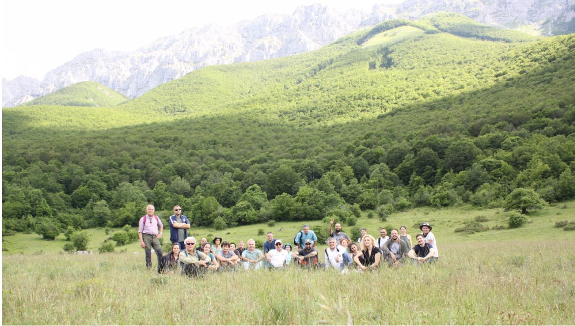
Pictures
Communication material
Mediterranean Sea Region
Factsheets
Adriatic-Ionian EcoRegion
Western Mediterranean EcoRegion
More about it
Dania Abdul Malak
Assessment and policy related inquiriesdaniaabdulmalak@uma.es
Dania Abdul Malak is a senior environmental researcher and Director of the European Topic Centre at the University of Malaga (ETC-UMA). She has over 15 years’ experience in environmental assessment and management...
Antonio Sánchez
Data related inquiriesa_sanchez@uma.es
Antonio Sánchez has developed his career focused on Geographic Information Systems and Remote Sensing tools, especially in the management and processing of data to calculate indicators and generate illustrative maps of environmental problems of all kind...Our partners
Agency for Sustainable Mediterranean Cities and Territories, AVITEM
Plan Bleu of UNEP/MAP
University of Thessaly (Greece)

MED Programme – European Territorial Cooperation 2007-2013

