MSP-LSI
Maritime spatial planning and land-sea interactions
Project summary
Europe’s seas have become important in terms of policy making on both European and national level. The exploitation of seas and coastal areas for economic purposes is becoming increasingly important, but there are also growing concerns on environmental issues.
The main objective of the project MSP-LSI was to improve stakeholders’ planning processes through the coordinated, comparable and systematic acquisition and analysis of both marine and terrestrial data and information at a European, regional and sub-regional level. The study contributed to evidence-based, coherent and transparent decision-making in EU Member States considering land-sea interactions (LSI) in the development of national maritime spatial plans. It will also contribute to the extended use of territorial evidence (both quantitative and qualitative), thereby adding a European LSI perspective to other fields of policy development.
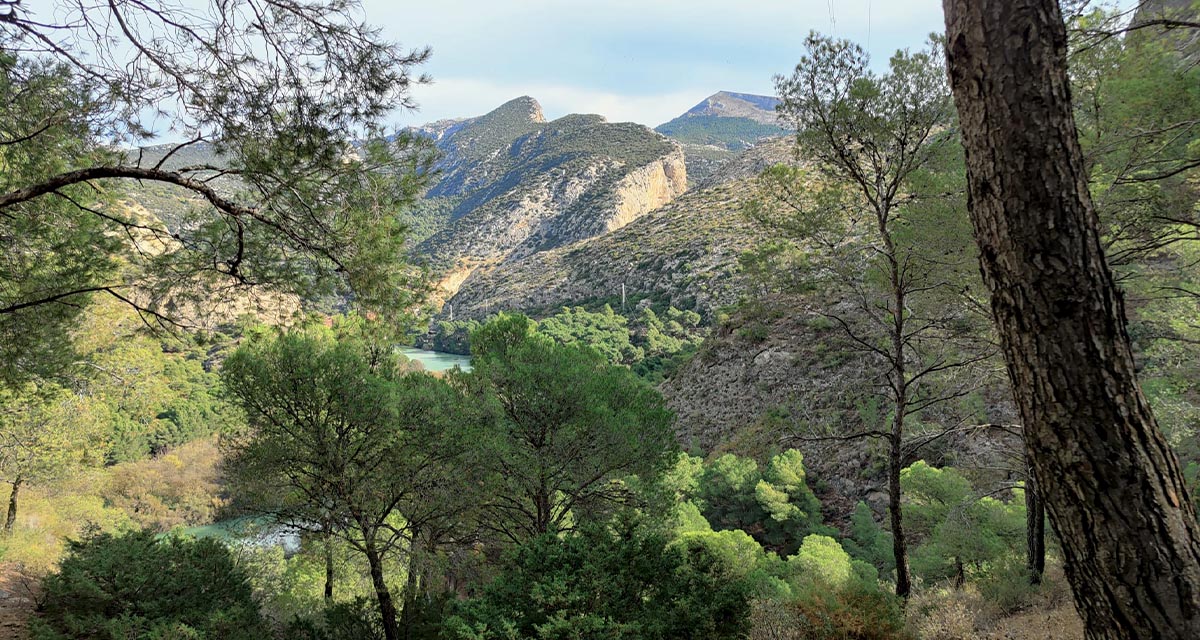
Five case study areas were selected for the research, covering different regional seas and types of coastline.
Our role
ETC-UMA dealt with data collection, data analysis and report writing. The main task was the initial collection of geospatial and tabular data for diferent topics such as maritime transport, coastal tourism, aquaculture and fisheries, marine pollution, etc. These data were used to produce informative maps to show the main conclusions of the analysis of each case study. In adition, ETC-UMA updated many of the maps already produced in ESaTDOR project in order to provide the most recent knowledge on land-sea interactions in European seas.
Main outputs
More about it

Dania Abdul Malak
Policy related inquiriesdaniaabdulmalak@uma.es
Dania Abdul Malak is a senior environmental researcher and Director of the European Topic Centre at the University of Malaga (ETC-UMA). She has over 15 years’ experience in environmental assessment and management...

Antonio Sánchez
Data related inquiriesa_sanchez@uma.es
Antonio Sánchez has developed his career focused on Geographic Information Systems and Remote Sensing tools, especially in the management and processing of data to calculate indicators and generate illustrative maps of environmental problems of all kind...Our partners
University of Liverpool (United Kingdom) - Lead partner
Ecorys (Belgium)
Ecologic Institute (Germany)
Boosting Climate Resilience: Wetland4Change Project Advances Flood Management Solutions for Mediterranean Coastal Zones
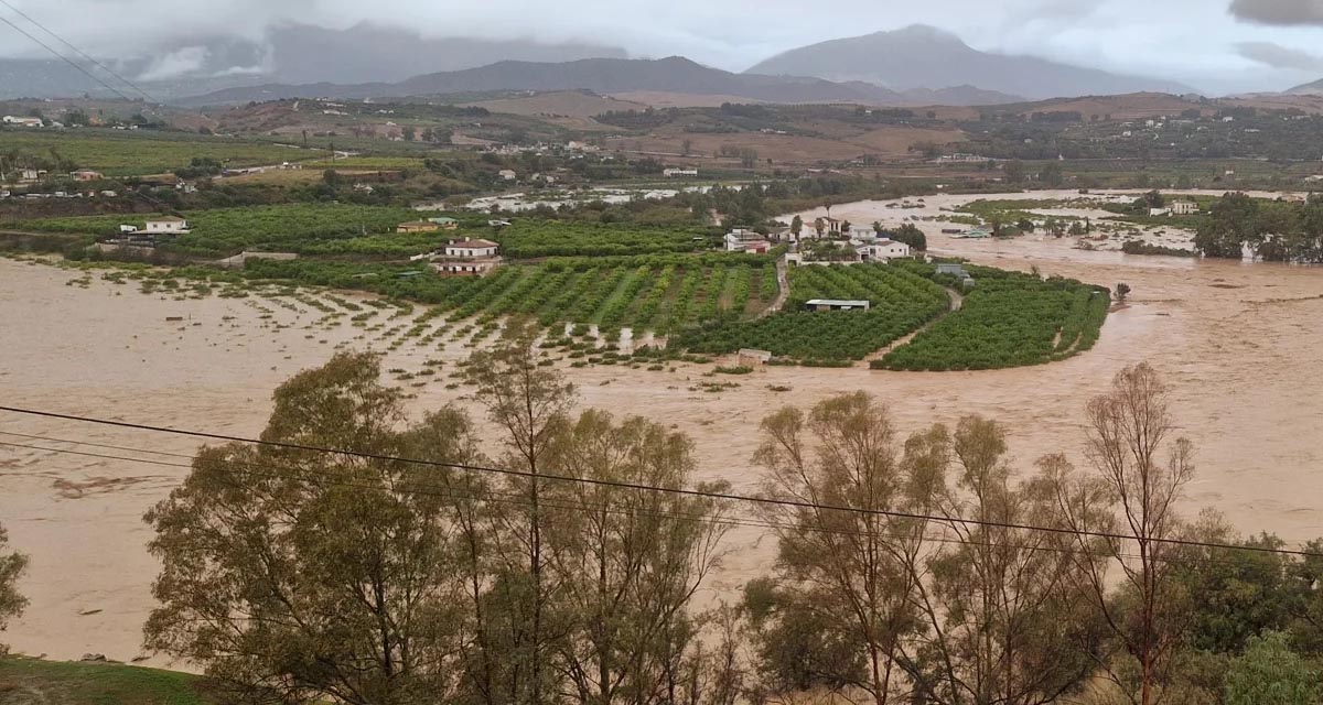
The Mediterranean coastal zone´s combination of multiple severe climate hazards – rising temperatures, water scarcity, sea-level rise, and extreme weather events – makes it a hotspot for highly interconnected climate risks for the ecosystems and societies. Recent catastrophic floods in ...
RESTORE4Cs 1st Policy Brief: How can coastal wetlands help achieve EU climate goals?
The first RESTORE4Cs Policy Brief of RESTORE4Cs, “How can coastal wetlands help achieve EU climate goals?“, highlights the importance of European coastal wetlands for reducing Greenhouse Gas emissions. The key messages of the first RESTORE4Cs Policy Brief include: Coastal wetlands are important natural carbon stores, ...
Mapping the Impact of Blue Tourism in the Mediterranean
The IUCN Centre for Mediterranean Cooperation with the support of ETC-UMA in the framework of the Blue Tourism Initiative, has released a comprehensive report entitled “Mapping the Impact of Blue Tourism in the Mediterranean: Vulnerability Assessment of Coastal and Marine ...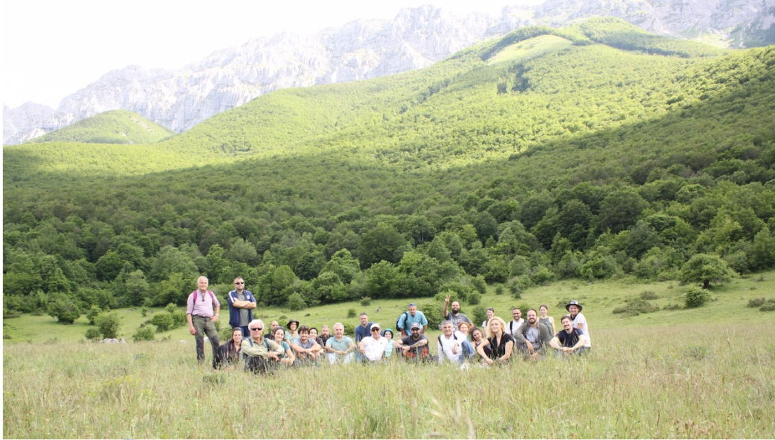
StrategyMedFor Presented at Annual Medforval Meeting 2024
StrategyMedFor was prominently featured at the Annual Medforval Meeting 2024, held from June 5-7 in Fontecchio, Italy. The event brought together 25 practitioners from national parks and natural reserves across 9 Mediterranean countries, providing a valuable platform for StrategyMedFor to ...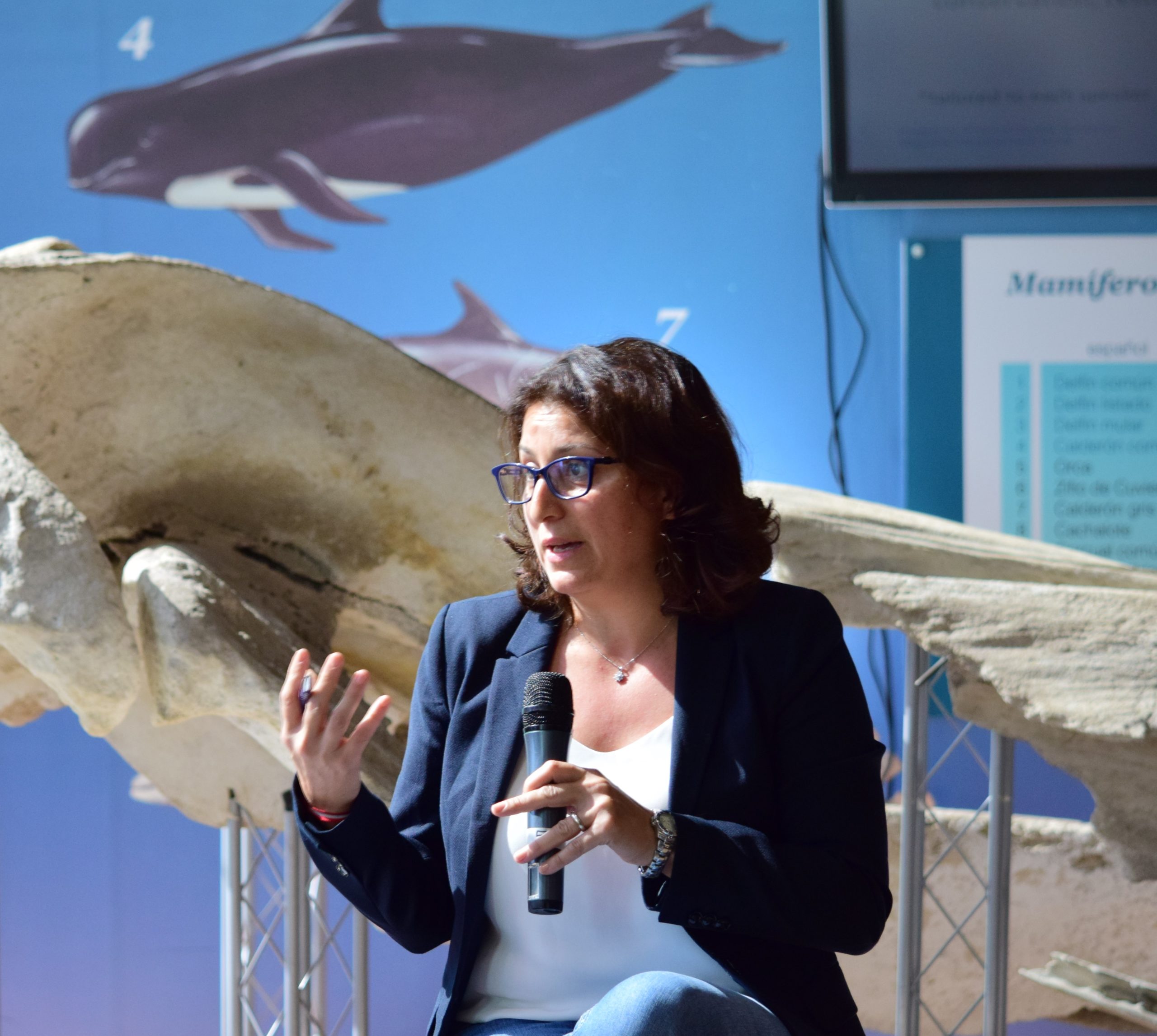
Celebrating leadership in environmental management: an interview with Dania Abdul Malak
From designing integrated ecosystem assessments in Europe and the Mediterranean to transforming outcomes into evidence-based recommendations for regional stakeholders, the European Topic Centre on Spatial Analysis and Synthesis (ETC-UMA) stands as a flagship for territorial cooperation. At the forefront of ...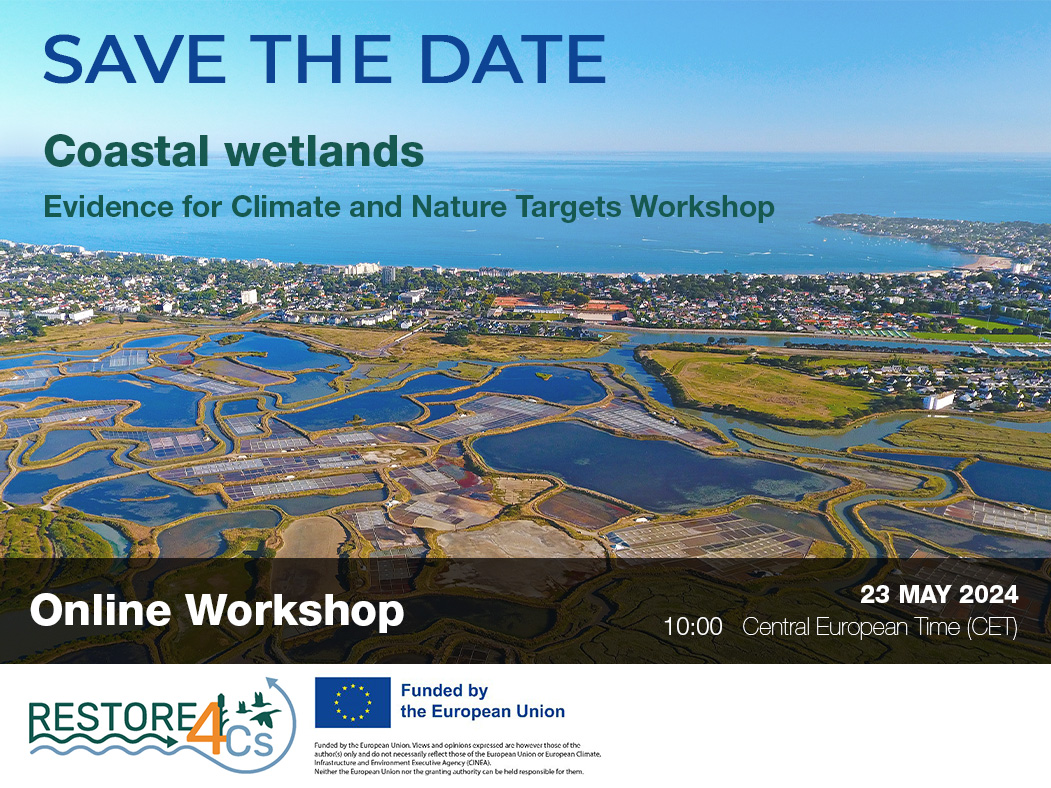
Save the date! Unlocking solutions for coastal conservation in Europe
How can coastal wetlands respond to major European Union objectives such as climate neutrality, biodiversity protection, and pollution reduction? What key role do coastal wetlands play in achieving EU commitments for climate mitigation and biodiversity conservation? The European Topic Centre ...
Towards a Strategy for the Sustainable Management of Mediterranean Forests (StrategyMedFor)
The StrategyMedFor project, co-financed by the Interreg Euro-MED programme, was launched at the University of Malaga during a two day meeting that took place on March 18 and 19, 2024. The European Topic Centre on Spatial Analysis and Synthesis (ETC-UMA), ...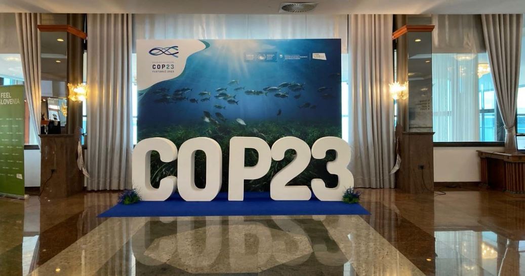
Collaborative science for forests by ETC-UMA showcased in Slovenia during the COP23
As UNEP MAP partner organization, ETC-UMA recently engaged in the organization of a session with Mediterranean institutions under the topic of climate change, entitled: From COASTAL to FOREST ecosystems: Mediterranean Nature-based Solutions to tackle climate change and ensure the Resilience ...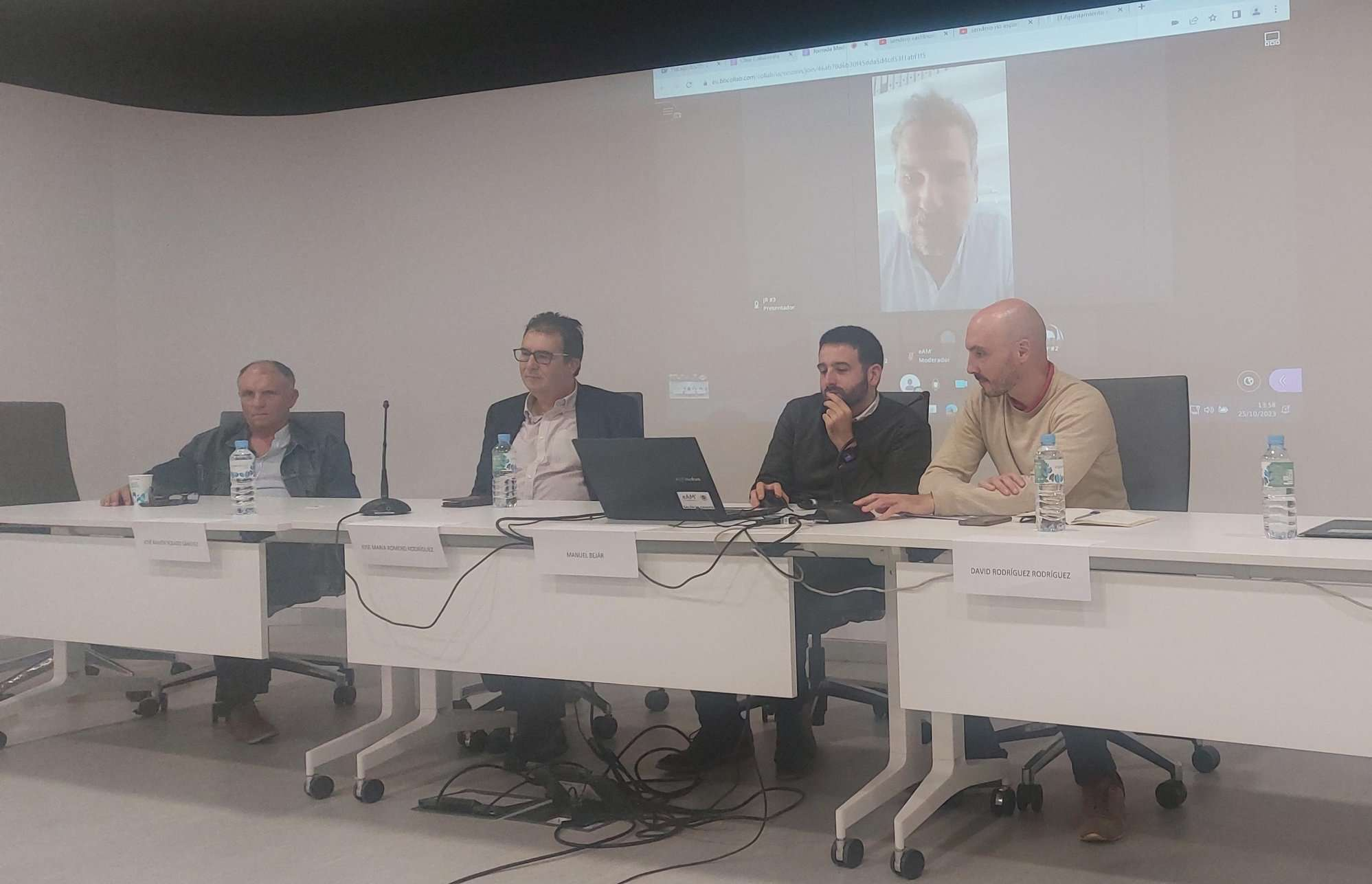
Tools for conserving the Spanish coast
On the initiative of the Instituto Universitario Hábitat Territorio y Digitalización (iHTD) of the University of Malaga, around 70 representatives of Spanish public administrations, researchers, architecture and environmental science players and civil society signed up to the second debate on ...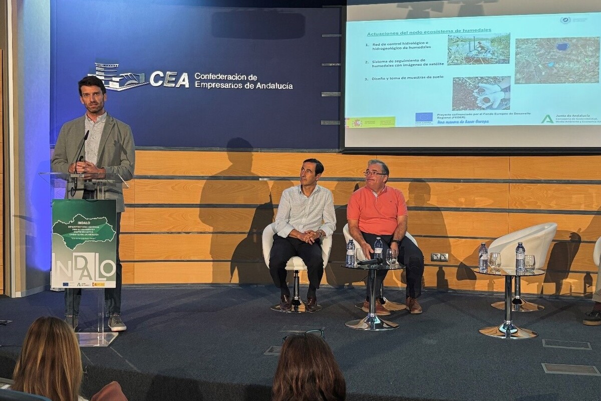
GreenEye System: a cloud-based system to monitor wetlands in Andalusia
Developed in the frame of the LifeWatch INDALO project cofinanced by the European Regional Development Fund (ERDF) for the study of biodiversity and global change in Andalucia, GreenEye System, this new cloud-based monitoring system, provides useful tools for wetlands’ assessment, ...
Looking back and forth to Mediterranean Forests
Timely published to enrich the knowledge available to fight fires and climate change challenges after an extremely hot summer, the proceedings of the Seventh Mediterranean Forest Week “Forest and Ecosystem Restoration for the next Mediterranean Generations” held from 21 to ...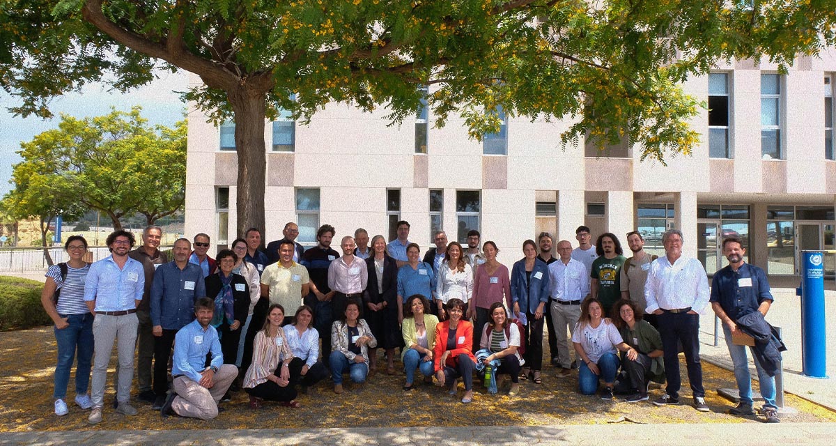
More space for innovative Mediterranean forest data partnerships
The report entitled A knowledge baseline on Mediterranean forests supported by innovation launched in July by ETC-UMA provides a highlight of what Mediterranean countries and institutions are doing to integrate new digital, satellite and Artificial Intelligence technologies into forest monitoring ...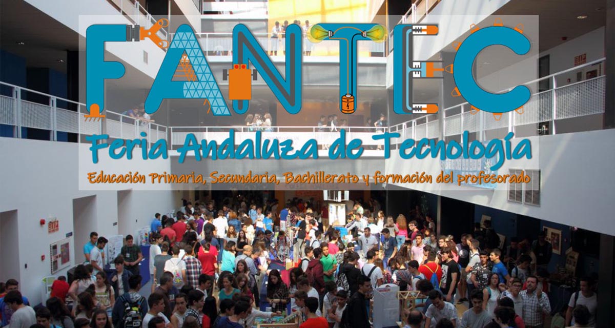
The Earth from Space shown by ETC-UMA at FANTEC 2023
Students from 80 centers from all over Andalusia came together on Friday 19 May 2023 at the High School of Industrial Engineering of the University of Malaga to participate, one more year, in the Andalusian Technology Fair 2023. Antonio Sanchez ...
ETC-UMA launches new technologies applied to ecosystem knowledge
Built on the Google Earth Engine cloud computing platform, the new wetland monitoring system based on remote sensing data, developed by ETC-UMA and presented in April 2023 at the National Centre for Environmental Education (CENEAM by its acronym in Spanish) ...