Overview of recent work and access to online publications and resources
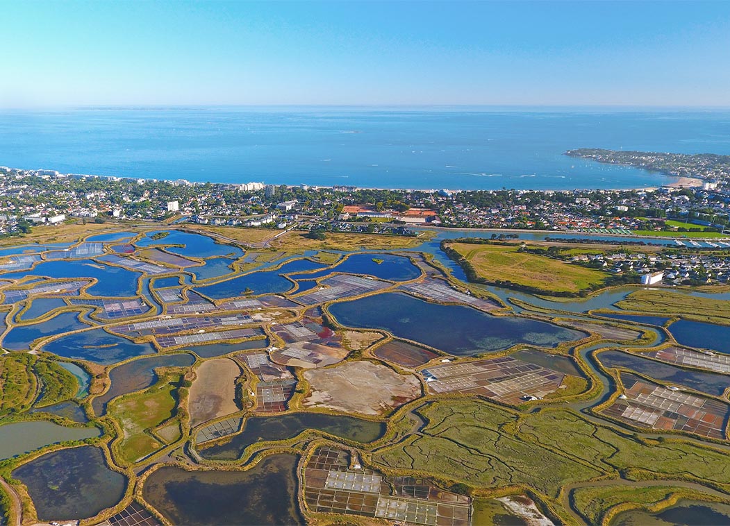
RESTORE4Cs 1st Policy Brief: How can coastal wetlands help achieve EU climate goals?
The first RESTORE4Cs Policy Brief of RESTORE4Cs, “How can coastal wetlands help achieve EU climate goals?“, highlights the importance of European coastal wetlands for reducing Greenhouse Gas emissions. The key messages of the first RESTORE4Cs Policy Brief include: Coastal wetlands are important natural carbon stores, ...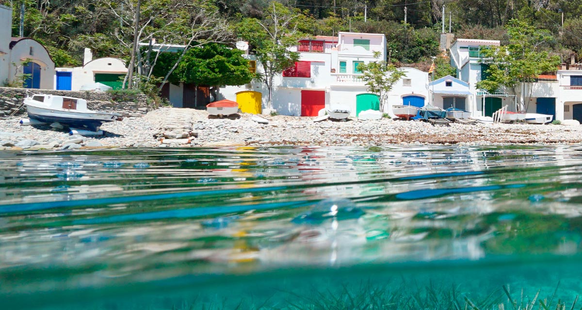
Mapping the Impact of Blue Tourism in the Mediterranean
The IUCN Centre for Mediterranean Cooperation with the support of ETC-UMA in the framework of the Blue Tourism Initiative, has released a comprehensive report entitled “Mapping the Impact of Blue Tourism in the Mediterranean: Vulnerability Assessment of Coastal and Marine ...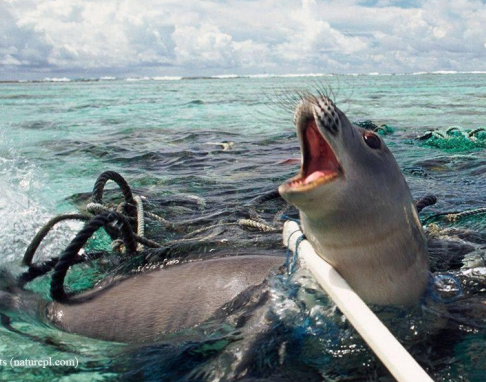
Brief update of the MedBioLitter database version 10 updated in January 2023
The MedBioLitter knowledge base is an entry-point to the peer reviewed research evidence published on the impacts of marine litter on marine biota in the Mediterranean region. This knowledge base was created in 2017, under the Interreg-Med funded initiative PANACeA ...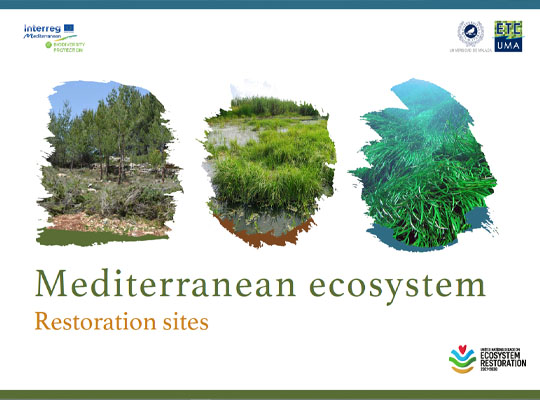
Mediterranean ecosystem restoration sites
In the frame of its strategic activities in the Mediterranean region, ETC-UMA as coordinator of the Mediterranean Biodiversity Protection Community (MBPC) has joined the Task Force on Best Practices on Ecosystem Restoration and committed to use its network of practitioners ...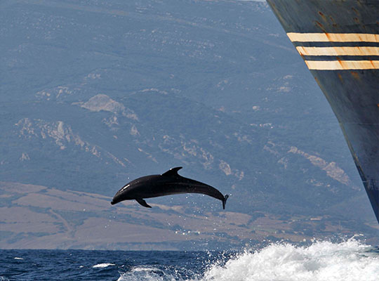
Supporting cetacean conservation in the Pelagos Sanctuary
A new report has been presented today, 18 November 2022, online in the frame of the cooperation between the Pelagos Permanent Secretariat and the Mediterranean Biodiversity Protection Community (MBPC), a project led by ETC-UMA. The new report, entitled Pathways to ...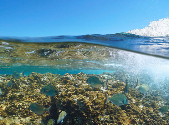
An assessment of marine biodiversity protection in the Mediterranean Sea: A threatened global biodiversity hotspot
The Mediterranean Sea is a World’s biodiversity hotspot. It harbours around 11% of all marine species in less than 1% of the global marine area (Bianchi & Morri, 2000). Furthermore, around 20% of those species are endemic (Coll et al., ...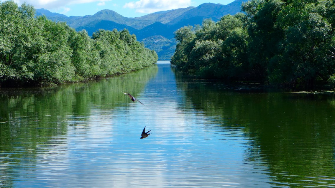
Mediterranean wetlands – their current state and ways to improve their conservation
The recent report entitled “Mapping and assessment of the state of wetland ecosystems: a Mediterranean perspective” led by ETC-UMA, in the frame of the Mediterranean Biodiversity Protection Community initiative co-funded by the EU Interreg Mediterranean programme, is the result of ...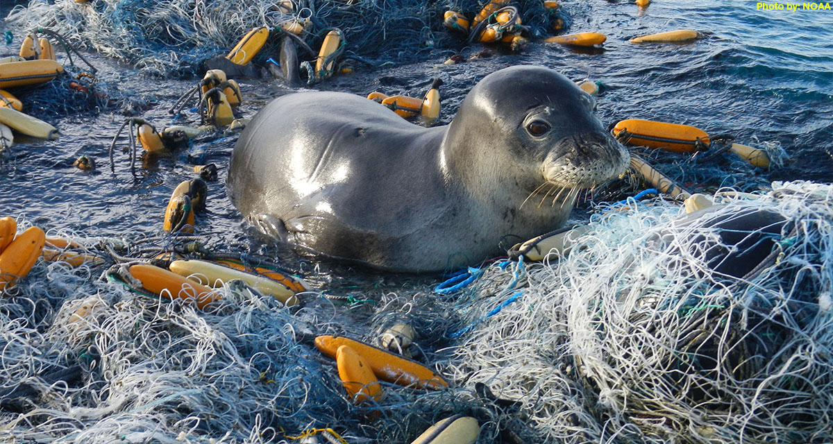
ETC-UMA issues new report on the impacts of litter on Mediterranean marine species
On the occasion of the workshop organized by IUCN and Région Sud in collaboration with its CPMR partner, the ETC-UMA Director, Dania Abdul Malak is presenting today 1 April 2022 a highlight on the wide range of actions required to ...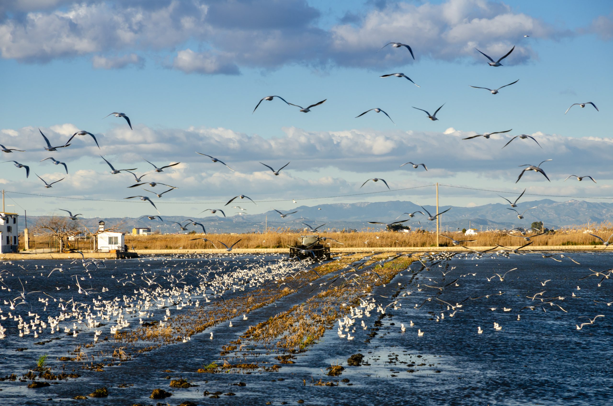
The role of healthy wetlands in fighting climate change
The new report developed by the ETC-UMA (University of Malaga), as partner of the European Topic Centre on Urban, Land and Soil Systems (ETC/ULS) has shed light on the role of healthy wetland habitats in the carbon cycle and the ...
A Mediterranean snapshot on what we have and how to protect it
The report on the State of the Environment and Development in the Mediterranean (SoED) published in November 2020 warns that the Mediterranean basin is facing escalating environmental and developmental challenges: warming 20% faster than other regions, with 78% of fishing stocks subject ...
Mapping and Assessment of Ecosystems and their Services: An EU ecosystem assessment
This report presents an ecosystem assessment covering the total land area of the EU as well as the EU marine regions. The assessment is carried out by Joint Research Centre, European Environment Agency, DG Environment, and the European Topic Centres ...
MedBioLitter: an open database on marine litter and biodiversity science
An open database and spatial geoportal on current scientific knowledge related to marine litter and biodiversity interactions in the Mediterranean region. ...Check all our resources
You can access additional resources and publications per year through our engine below
Journal Articles
Rodríguez-Rodríguez, D.; Knecht, N.; Llopis, J. C.; Heriarivo, R. A.; Rakotoarison, H.; Andriamampionomanjaka, V.; Navarro-Jurado, E.; Randriamamonjy, V.
Socioeconomic impacts of small conserved sites on rural communities in Madagascar Journal Article
In: Environmental Development, pp. 100965, 2024, ISSN: 2211-4645.
Abstract | Links | BibTeX | Tags: Biodiversity, Conservation and management, Ecosystem services, Environmental conservation
@article{RODRIGUEZRODRIGUEZ2024100965,

title = {Socioeconomic impacts of small conserved sites on rural communities in Madagascar},

author = {D. Rodríguez-Rodríguez and N. Knecht and J. C. Llopis and R. A. Heriarivo and H. Rakotoarison and V. Andriamampionomanjaka and E. Navarro-Jurado and V. Randriamamonjy},

url = {https://www.sciencedirect.com/science/article/pii/S2211464524000034},

doi = {https://doi.org/10.1016/j.envdev.2024.100965},

issn = {2211-4645},

year  = {2024},

date = {2024-01-01},

urldate = {2024-01-01},

journal = {Environmental Development},

pages = {100965},

abstract = {Madagascar is considered one of the top global biodiversity hotspots while at the same time is among the world's least developed countries. Pressing socioeconomic needs such as food provision often lead to unsustainable land use and widespread loss, fragmentation and degradation of natural habitats. Thus, ascertaining the socioeconomic effects of small conserved sites is urgent in order to show their benefits and identify their costs to attain sustainable rural development on the island. Here, we used structured questionnaires in two surveys to key local stakeholders, including 1) managers of three conserved sites smaller than 100 ha, and 2) local communities living around such sites (cases) and similar neighbouring communities unaffected by those conserved sites (controls), following a Before-After-Control-Impact design. Median income did not differ between case and control communities, although case communities reported better self-perception of their economic situation and wider availability of basic services. Substantial revenues from tourism accrued only to one local community from a conveniently located, community-managed site: Anja Community Reserve. No differences in the economic effects from the establishment of the conserved sites were found between sex, age or education levels of community members. Exploitation of natural resources from conserved sites was either prohibited (two sites) or severely restricted (one site). As a result, case communities tended to collect fewer natural resources from nearby areas than control communities. Contrary to expectations, case communities reported less economic impact than control communities during the COVID-19 pandemic even though visitors were reduced to zero, which likely indicate greater socioeconomic resilience due to previous community investments and greater availability of ecosystem services. Successful, bottom-up and replicable approaches to locally manage natural resources sustainably are urgently needed in a country with rich and vanishing biodiversity, weak institutions, high poverty rates and strong dependence on natural resources for subsistence.},

keywords = {Biodiversity, Conservation and management, Ecosystem services, Environmental conservation},

pubstate = {published},

tppubtype = {article}

}
Petersen, J. E.; Mancosu, E.; King, S.
Ecosystem extent accounts for Europe Journal Article
In: Ecosystem Services, vol. 57, iss. October 2022, no. 101457, 2022.
Abstract | Links | BibTeX | Tags: Conservation and management, Ecosystem, Ecosystem services, Environmental conservation, Land and soil
@article{Petersen2022,

title = {Ecosystem extent accounts for Europe},

author = {J.E. Petersen and E. Mancosu and S. King},

url = {https://doi.org/10.1016/j.ecoser.2022.101457},

doi = {https://doi.org/10.1016/j.ecoser.2022.101457},

year  = {2022},

date = {2022-07-31},

journal = {Ecosystem Services},

volume = {57},

number = {101457},

issue = {October 2022},

abstract = {This paper describes the set-up and results for ecosystem extent accounts at European level, developed in the context of the United Nations System of Environmental-Economic Accounting - Ecosystem Accounting (SEEA EA). These accounts inform on the opening and closing ‘stocks’ of ecosystems and provide essential geo-spatial data to support the calculation of ecosystem condition and services accounts. The paper presents the first set of ecosystem extent accounts for Europe, covering the period 2000–2018. These show that ecosystems are relatively stable at the European scale, with significant increases in Urban ecosystems and some decrease in Heathland and shrub and Grassland ecosystems. The paper demonstrates the use of a flexible geo-spatial database to gain analytical insights for different ecosystem accounting areas, using European biogeographical regions and Natura 2000 areas as examples. More detailed ecosystem extent accounts (tier II and tier III) show trends inter alia for Agro-forestry, Peat Bog, Beaches, dunes and sands as well as Salt marsh ecosystems, important for biodiversity and ecosystem services. The accounting approach presented delivers a geo-spatial data foundation that can support further ecosystem analysis and accounts. This enables the targeting of ecosystem analysis on specific geographic areas and policy instruments.},

keywords = {Conservation and management, Ecosystem, Ecosystem services, Environmental conservation, Land and soil},

pubstate = {published},

tppubtype = {article}

}
Rodríguez-Rodríguez, D.; Larrubia, R.; Sinoga, J. D.
Are protected areas good for the human species? Effects of protected areas on rural depopulation in Spain Journal Article
In: Science of The Total Environment, vol. 763, 2021.
Abstract | Links | BibTeX | Tags: Conservation and management, Ecosystem services, Environmental conservation, Marine protected areas, Protected areas
@article{Rodríguez-Rodríguez2021,

title = {Are protected areas good for the human species? Effects of protected areas on rural depopulation in Spain},

author = {D. Rodríguez-Rodríguez and R. Larrubia and J.D. Sinoga},

url = {https://www.sciencedirect.com/science/article/abs/pii/S0048969720379304#!},

doi = {https://doi.org/10.1016/j.scitotenv.2020.144399},

year  = {2021},

date = {2021-04-21},

journal = {Science of The Total Environment},

volume = {763},

abstract = {Protected areas (PAs) seek to conserve valuable genes, species and ecosystems by applying a legal regime that restricts some socioeconomic activities and also offers opportunities for new ones. As a result, PAs have been claimed by some authors to boost socioeconomic conditions in rural areas mainly through tourism activities. However, others have claimed that PAs contribute to rural depopulation through the worsening of living conditions of local residents because of restrictions resulting from protection regulations. Here, we applied a multiple-paired Before-After-Control-Impact (BACI) research design on a census on protected rural municipalities (cases; N = 52) versus unprotected rural municipalities (controls; N = 55) in Spain to ascertain whether PAs had positive or negative effects on rural populations using three indicators on depopulation with official municipal data from 1996 until 2019: Compound annual growth rate (CAGR); Proportion of reproductive individuals (REP); and Proportion of reproductive females (WREP). We controlled for some confounders such as biophysical characteristics and regional regulations by carefully selecting our sample of municipalities spatially. Our results show that depopulation figures were worse in cases than in controls, with some exceptions whose characteristics should be further explored. Municipalities in Sites of Community Importance (SCIs) performed best against rural depopulation and generally better than their controls, whereas municipalities in Biosphere Reserves and Special Protection Areas (SPAs) showed mostly worse figures. Our findings suggest that, while necessary and important for biodiversity, multiple-use PAs generally entailed negative consequences for Spanish rural populations that need to be offset by State's intervention.},

keywords = {Conservation and management, Ecosystem services, Environmental conservation, Marine protected areas, Protected areas},

pubstate = {published},

tppubtype = {article}

}
Hatziiordanou, L.; Fitoka, E.; Hadjicharalampous, E.; Votsi, N. E.; Palaskas, D.; Abdul-Malak, D.
In: One Ecosystem, vol. 4, no. e32704, 2019.
Abstract | Links | BibTeX | Tags: Biodiversity, Climate Change, Conservation and management, Ecosystem services, Forest, Land and soil, Pressures, Wetlands
@article{Hatziiordanou2019,

title = {Indicators for mapping and assessment of ecosystem condition and of the ecosystem service habitat maintenance in support of the EU Biodiversity Strategy to 2020},

author = {L. Hatziiordanou and E. Fitoka and E. Hadjicharalampous and N.E. Votsi and D. Palaskas and D. Abdul-Malak},

url = {https://oneecosystem.pensoft.net/article/32704/},

doi = {10.3897/oneeco.4.e32704},

year  = {2019},

date = {2019-06-13},

journal = {One Ecosystem},

volume = {4},

number = {e32704},

abstract = {A systematic approach to map and assess the “maintenance of nursery populations and habitats” ecosystem service (ES) (hereinafter called “habitat maintenance”) has not yet emerged. In this article, we present an ecosystem service framework implementation at landscape level, by proposing an approach for calculating and combining a series of indicators with spatial modelling techniques. Necessary conceptual elements for this approach are: a) ecosystem condition, b) supply and demand of the targeted ecosystem service and c) spatial relationships between the Service Providing Units (SPU) and the Service Connecting Units (SCU). Ecosystem condition is quantified and mapped based on two indicators, the Biodiversity State and the Anthropogenic Impact. Quantification and mapping of supply and demand are based on the hypothesis that high supply can be activated in strictly protected areas and that a demand is localised in the Natura 2000 sites (N2K), considering them as the Service Benefit Areas (SBA). Wetlands are assessed as SCU between the SBA and the landscape areas where the habitat maintenance ES is supplied. By assessing wetlands as SCU, we intent to highlight their role as biodiversity stepping stones and as green infrastructures. Overall, we conclude that the EU biodiversity policy demand for no net loss and for a coherent N2K network can be met by enhancing the delivery of the habitat maintenance ES. This approach can assist policy-makers in prioritisation of conservation and restoration targets, in line with the EU biodiversity strategy to 2020 and the preparation of the post-2020 Strategy.},

keywords = {Biodiversity, Climate Change, Conservation and management, Ecosystem services, Forest, Land and soil, Pressures, Wetlands},

pubstate = {published},

tppubtype = {article}

}
Rodríguez-Rodríguez, D.; Martínez-Vega, J.
Representation and protection of the threatened biodiversity by the largest Spanish regional network of protected areas Journal Article
In: Endangered Species Research, vol. 35, pp. 125-139, 2018.
Abstract | Links | BibTeX | Tags: Biodiversity, Conservation and management, Ecosystem services, Pressures, Protected areas, SOSTPARK
@article{Rodríguez-Rodríguez2018e,

title = {Representation and protection of the threatened biodiversity by the largest Spanish regional network of protected areas},

author = {D. Rodríguez-Rodríguez and J. Martínez-Vega},

url = {https://doi.org/10.3354/esr00878},

doi = {10.3354/esr00878},

year  = {2018},

date = {2018-03-15},

journal = {Endangered Species Research},

volume = {35},

pages = {125-139},

abstract = {The main global strategy to stop biodiversity loss is the designation of protected areas (PAs). Spain is a highly biodiverse country. It has one of the world's greatest terrestrial PA coverages. However, the status of its biodiversity is delicate as a result of serious pressures, and some important areas for biodiversity are outside PAs. We used official census data to spatially assess how 71 habitats of community interest (HCIs), 126 regionally threatened flora, fauna and fungi species and subspecies (RTSs), and 33 globally threatened species or subspecies (GTSs) are represented in a network of 404 PAs in Andalusia, a region rich in biodiversity in southern Spain. We also assessed the legal and managerial protection afforded to these threatened habitats and species by those PAs. The Andalusian PA network expands across one-third of the region’s territory and includes the threatened species’ richest areas. However, it only covers 57% of the area of occupancy of RTSs, 81% of the regional area of occupancy of GTSs, and 53% of the extent of HCIs. Over 61% of the regional PA network area is assigned more than 1 PA designation category, although cumulative legal protection is marginally related to RTS richness and unrelated to GTS richness. RTSs and especially GTSs occupy the most relative area in Ramsar sites (i.e. wetlands of international importance), although these are of relatively minor importance for threatened habitats. Wetlands and agricultural areas are the broad ecosystem types showing the greatest numbers of RTSs and GTSs. Seven GTSs were not included in the Andalusian Register of Threatened Species. One hundred and eleven unprotected Areas of High Importance for Threatened Species (AHITSs) and one Area of High Importance for Threatened Biodiversity (AHITB) were identified. Those species and sites are good candidates for a targeted expansion of legal protection of biodiversity in the region.},

keywords = {Biodiversity, Conservation and management, Ecosystem services, Pressures, Protected areas, SOSTPARK},

pubstate = {published},

tppubtype = {article}

}
Palomo, I.
Practical solutions for bottlenecks in ecosystem services mapping Journal Article
In: One Ecosystem, vol. 3, 2018.
Abstract | Links | BibTeX | Tags: Ecosystem services, Geotechnology, Land and soil
@article{etal.al.2018,

title = {Practical solutions for bottlenecks in ecosystem services mapping},

author = {I. Palomo et al.},

url = {https://oneecosystem.pensoft.net/article/20713/element/8/46777/},

doi = {10.3897/oneeco.3.e20713},

year  = {2018},

date = {2018-01-01},

journal = {One Ecosystem},

volume = {3},

abstract = {Background

Ecosystem services (ES) mapping is becoming mainstream in many sustainability assessments, but its impact on real world decision-making is still limited. Robustness, end-user relevance and transparency have been identified as key attributes needed for effective ES mapping. However, these requirements are not always met due to multiple challenges, referred to here as bottlenecks, that scientists, practitioners, policy makers and users from other public and private sectors encounter along the mapping process.


New information

A selection of commonly encountered ES mapping bottlenecks that relate to seven themes: i) map-maker map-user interaction; ii) nomenclature and ontologies; iii) skills and background; iv) data and maps availability; v) methods-selection; vi) technical difficulties; and vii) over-simplification of mapping process/output. The authors synthesise the variety of solutions already applied by map-makers and map-users to mitigate or cope with these bottlenecks and discuss the emerging trade-offs amongst different solutions. Tackling the bottlenecks described here is a crucial first step towards more effective ES mapping, which can in turn ensure the adequate impact of ES mapping in decision-making.},

keywords = {Ecosystem services, Geotechnology, Land and soil},

pubstate = {published},

tppubtype = {article}

}
Ecosystem services (ES) mapping is becoming mainstream in many sustainability assessments, but its impact on real world decision-making is still limited. Robustness, end-user relevance and transparency have been identified as key attributes needed for effective ES mapping. However, these requirements are not always met due to multiple challenges, referred to here as bottlenecks, that scientists, practitioners, policy makers and users from other public and private sectors encounter along the mapping process.
New information
A selection of commonly encountered ES mapping bottlenecks that relate to seven themes: i) map-maker map-user interaction; ii) nomenclature and ontologies; iii) skills and background; iv) data and maps availability; v) methods-selection; vi) technical difficulties; and vii) over-simplification of mapping process/output. The authors synthesise the variety of solutions already applied by map-makers and map-users to mitigate or cope with these bottlenecks and discuss the emerging trade-offs amongst different solutions. Tackling the bottlenecks described here is a crucial first step towards more effective ES mapping, which can in turn ensure the adequate impact of ES mapping in decision-making.
Maes, J.
An indicator framework for assessing ecosystem services in support of the EU Biodiversity Strategy to 2020 Journal Article
In: Ecosystem Services, vol. 17, pp. 14-23, 2016.
Abstract | Links | BibTeX | Tags: Biodiversity, Conservation and management, Ecosystem services, Forest, Wetlands
@article{etal.al.2016,

title = {An indicator framework for assessing ecosystem services in support of the EU Biodiversity Strategy to 2020},

author = {J. Maes et al.},

url = {https://www.sciencedirect.com/science/article/pii/S2212041615300504},

doi = {https://doi.org/10.1016/j.ecoser.2015.10.023},

year  = {2016},

date = {2016-02-01},

journal = {Ecosystem Services},

volume = {17},

pages = {14-23},

abstract = {In the EU, the mapping and assessment of ecosystems and their services, abbreviated to MAES, is seen as a key action for the advancement of biodiversity objectives, and also to inform the development and implementation of related policies on water, climate, agriculture, forest, marine and regional planning. In this study, we present the development of an analytical framework which ensures that consistent approaches are used throughout the EU. It is framed by a broad set of key policy questions and structured around a conceptual framework that links human societies and their well-being with the environment. Next, this framework is tested through four thematic pilot studies, including stakeholders and experts working at different scales and governance levels, which contributed indicators to assess the state of ecosystem services. Indicators were scored according to different criteria and assorted per ecosystem type and ecosystem services using the common international classification of ecosystem services (CICES) as typology. We concluded that there is potential to develop a first EU wide ecosystem assessment on the basis of existing data if they are combined in a creative way. However, substantial data gaps remain to be filled before a fully integrated and complete ecosystem assessment can be carried out.},

keywords = {Biodiversity, Conservation and management, Ecosystem services, Forest, Wetlands},

pubstate = {published},

tppubtype = {article}

}
Presentations
Sánchez-Espinosa, A.; Abdul-Malak, D.; Marín, A. I.
Mapping flood regulation capacity of coastal wetland ecosystems in the Mediterranean: Guadalhorce river mouth (Spain) Presentation
01.04.2016.
Links | BibTeX | Tags: Ecosystem services, Geotechnology, SWOS, Wetlands
@misc{Sánchez-Espinosa2016,

title = {Mapping flood regulation capacity of coastal wetland ecosystems in the Mediterranean: Guadalhorce river mouth (Spain)},

author = {A. Sánchez-Espinosa and D. Abdul-Malak and A. I. Marín},

url = {/wp-content/uploads/publications/SWOS_Flood_EcoSummit2016.pdf},

year  = {2016},

date = {2016-04-01},

keywords = {Ecosystem services, Geotechnology, SWOS, Wetlands},

pubstate = {published},

tppubtype = {presentation}

}
Proceedings
Schröder, C.; del Mar Otero, M.; Ivanova, S.; Petrov, P.; Camacho, A.; Rochera, C.; Guelmami, A.; Ronse, M.; Fitoka, E.; Hatziiordanou, L.; Puddu, M.; Eremita, G.
Fundación Nueva Cultura del Agua, 2025, ISBN: 978-84-608-2132-8.
Abstract | Links | BibTeX | Tags: Climate Change, Ecosystem services, Mediterranean sea, Wetlands
@proceedings{nokey,

title = {Wetland-Based Solutions: Testing and Transfer of Methodologies to support Climate Change Adapation and Mitigation in Wetland Ecosystems},

author = {C. Schröder and M. del Mar Otero and S. Ivanova and P. Petrov and A. Camacho and C. Rochera and A. Guelmami and M. Ronse and E. Fitoka and L. Hatziiordanou and M. Puddu and G. Eremita},

url = {https://www.etc.uma.es/wp-content/uploads/Schroder_libro_actas_13CIGPA.pdf},

isbn = {978-84-608-2132-8},

year  = {2025},

date = {2025-06-01},

urldate = {2025-06-01},

booktitle = {Desde la escasez hacia la reasignación social y ambiental del agua},

publisher = {Fundación Nueva Cultura del Agua},

abstract = {Recent policies at EU and national level have provided the background for more active intervention to restore a significant part of degraded aquatic ecosystems, protect biodiversity and address the effects of Global Change. In this context, adaptation to the consequences of climate change is a key challenge in the Euro-Mediterranean territory. Several opportunities arise to reinforce adaptation by shifting our attention to Nature-based Solutions (NbS) and among them “wetland-based solutions”. Wetland loss and degradation is a sign that the recognition of the wetland climate services as a catalyst for the improvement of the quality of human life and sustainable growth, is probably weak at the various governance levels. The Interreg Euro-MED funded project Wetland4Change (2023-2025) aims to validate transferable solutions based on wetland conservation and restoration for climate adaptation and mitigation, to accelerate the capacities of wetland managers and of policy makers to cope with the climate crisis at local and transnational level, by improving take up of science-based knowledge and governance mechanisms, through assessments, guidance, capacity building and experience exchange. The main project outputs are two wetland-based solutions tested and validated in 5 pilot sites in 5 Euro-Mediterranean countries, namely Bulgaria, Greece, Italy, France and Spain These solutions include carbon-sequestration and flood regulation. The project goes beyond existing practices through the novelty in assessing carbon sequestration and flood regulation capacities of wetlands for national authority obligations (i.e GAEC 2 for the agriculture sector). As a result, the project will improve the knowledge and the management capacities of the involved stakeholders to promote and plan wetlands protection and conservation as nature-based solutions in climate change adaptation, mitigation and risk prevention.},

keywords = {Climate Change, Ecosystem services, Mediterranean sea, Wetlands},

pubstate = {published},

tppubtype = {proceedings}

}
Merkohasanaj, M.; Sánchez-Espinosa, A.; Abdul-Malak, D.; Schroder, C.; Truckenbrodt, J.; Marín, A. I.
Simposio del Agua en Andalucía (SIAGA), Huelva, 24 a 27 de octubre, 2018.
Abstract | Links | BibTeX | Tags: Ecosystem services, Geotechnology, Groundwater, SWOS, Wetlands
@proceedings{Merkohasanaj2018,

title = {Utility assessment in using optical and radar data to monitor surface water dynamic in wetland ecosystems, Fuente de Piedra, Spain (UMA)},

author = {M. Merkohasanaj and A. Sánchez-Espinosa and D. Abdul-Malak and C. Schroder and J. Truckenbrodt and A. I. Marín},

url = {/wp-content/uploads/Merkohasanajetal2018.pdf},

year  = {2018},

date = {2018-10-24},

publisher = {Simposio del Agua en Andalucía (SIAGA), Huelva, 24 a 27 de octubre},

series = {SIAGA 2018},

abstract = {To enable a better conservation in wetland ecosystems is important to monitor continuous changes and pressures on them. In this context, satellite remote sensing has become one of the most suitable tools since it ensures good availability, high frequency and large coverage of imagery that is analyzed and validated in a harmonized way.

This study covers the validation process of Surface Water Dynamic (SWD) products of Fuente de Piedra, south Spain, developed in the framework of SWOS Horizon 2020 project, and assesses its applicability to provide accurate open water surface estimations and take a step further in enhancing water dynamics monitoring in wetland ecosystems.

Firstly, two different SWD temporal frequency (TF) datasets were generated for Fuente de Piedra: one using optical satellite data (Landsat time series), covering the period between January 2007 and September 2015, and the other using Synthetic Aperture Radar (SAR) data (Sentinel 1 time series), from November 2014 to March 2017. The open surface water extent area (SWE) was extracted for both cases and then validated with corresponded TF in-situ environmental data as precipitation, temperature and piezometric level.

Findings underscore that piezometric level is the first environmental variable highly correlated with the SWE and the variable with the strongest predictive capacity for SWD. Both optical and radar data provide high positive correlation with SWD, R= 0.932 for Landsat and R=0.936 for SAR products. The main conclusion of the study underlines the high accuracy of using remote sensing data in monitoring hydrological dynamics in this wetland ecosystem and provides evidence to use this approach for wetland monitoring at different scales.},

keywords = {Ecosystem services, Geotechnology, Groundwater, SWOS, Wetlands},

pubstate = {published},

tppubtype = {proceedings}

}
This study covers the validation process of Surface Water Dynamic (SWD) products of Fuente de Piedra, south Spain, developed in the framework of SWOS Horizon 2020 project, and assesses its applicability to provide accurate open water surface estimations and take a step further in enhancing water dynamics monitoring in wetland ecosystems.
Firstly, two different SWD temporal frequency (TF) datasets were generated for Fuente de Piedra: one using optical satellite data (Landsat time series), covering the period between January 2007 and September 2015, and the other using Synthetic Aperture Radar (SAR) data (Sentinel 1 time series), from November 2014 to March 2017. The open surface water extent area (SWE) was extracted for both cases and then validated with corresponded TF in-situ environmental data as precipitation, temperature and piezometric level.
Findings underscore that piezometric level is the first environmental variable highly correlated with the SWE and the variable with the strongest predictive capacity for SWD. Both optical and radar data provide high positive correlation with SWD, R= 0.932 for Landsat and R=0.936 for SAR products. The main conclusion of the study underlines the high accuracy of using remote sensing data in monitoring hydrological dynamics in this wetland ecosystem and provides evidence to use this approach for wetland monitoring at different scales.
Technical Reports
Trombetti, M.; Abdul-Malak, D.; Sánchez-Espinosa, A.; Guelmami, A.; García, N.; Fitoka, E.
Mapping and assessment of the state of wetland ecosystems: A Mediterranean perspective Technical Report
2022.
Abstract | Links | BibTeX | Tags: Biodiversity, Climate Change, Conservation and management, Ecosystem services, Environmental conservation, Mediterranean sea, Protected areas, Wetlands
@techreport{Trombetti2022,

title = {Mapping and assessment of the state of wetland ecosystems: A Mediterranean perspective},

author = {M. Trombetti and D. Abdul-Malak and A. Sánchez-Espinosa and A. Guelmami and N. García and E. Fitoka},

editor = {Interreg Mediterranean Biodiversity Protection Community project},

url = {https://www.etc.uma.es/wp-content/uploads/Report_Mapping_and_assessment_of_the_state_of_wetland_ecosystems_2022.pdf},

year  = {2022},

date = {2022-06-01},

urldate = {2022-06-01},

abstract = {The Pan-Mediterranean wetland ecosystem map fills a major knowledge gap in the region by setting a Mediterranean-wide knowledge base on wetland ecosystems following the Ramsar definition of wetlands. The wetland ecosystem mapping is complemented by the assessment of wetland biodiversity conditions that aims to highlight priority areas for potential conservation and restoration actions in the region, and to support the regional efforts in advocating for effective wetland management and nature-based solutions in the Mediterranean region. The outputs of this activity include (i) a Pan-Mediterranean wetland ecosystem knowledge base, and (ii) an assessment of their condition that will be used to raise awareness and advocate for a change in wetland management that promotes effective protection, conservation and restoration. The outputs also support regional and national inventories, filling a major regional gap locating Mediterranean wetland habitats, and feed regional and global agendas, namely the EU Biodiversity Strategy to 2030, the Mediterranean Strategy for Sustainable development as well as the Ramsar Convention.},

keywords = {Biodiversity, Climate Change, Conservation and management, Ecosystem services, Environmental conservation, Mediterranean sea, Protected areas, Wetlands},

pubstate = {published},

tppubtype = {techreport}

}
Abdul-Malak, D.; Marín, A. I.; Trombetti, M.; San-Román, S.
Carbon pools and sequestration potential of wetlands in the European Union Technical Report
2021, ISBN: 978-3-200-07433-0.
Abstract | Links | BibTeX | Tags: Climate Change, Ecosystem services, Environmental conservation, Land and soil, Soil functions, Wetlands
@techreport{Abdul-Malak2021,

title = {Carbon pools and sequestration potential of wetlands in the European Union},

author = {D. Abdul-Malak and A. I. Marín and M. Trombetti and S. San-Román},

editor = {European Topic Centre on Urban, Land and Soil Systems},

url = {https://www.eionet.europa.eu/etcs/etc-uls/products/etc-uls-reports/etc-uls-report-10-2021-carbon-pools-and-sequestration-potential-of-wetlands-in-the-european-union},

isbn = {978-3-200-07433-0},

year  = {2021},

date = {2021-09-01},

urldate = {2021-09-01},

abstract = {Wetland ecosystems as defined by the Ramsar convention host a wide variety of wetland habitats across terrestrial, coastal and marine environments. When in good condition, wetland habitats provide many societal benefits and values, among others, they play a crucial role in the carbon cycle because of their capacities to limit the availability of oxygen to soil microbes and decomposition of organic matter. Policies and practices do not sufficiently consider these interconnections and interdependencies in Europe yet due to the fragmented consideration of this ecosystem in their schemes. The findings of this report argue that healthy European wetland habitats have an enormous capacity to contribute to carbon neutrality objectives in Europe. Across the wide array of European ecosystems they belong to, wetland habitats have a role in contributing to the carbon cycle. The most meaningful European wetland habitats to contribute to carbon storage include well-functioning salt marshes, healthy mires, bogs and fens as well as riparian, fluvial and swamp forests. Furthermore, when healthy, terrestrial wetlands namely mires, bogs and fens (where peatlands underly), followed by riparian, fluvial and swamp forests as well as inland marshes ensure a high carbon sequestration potential. If kept in a good condition or restored, the EU wetland related carbon stock capacity of their overall area in Europe (EU 27 and the UK) is estimated to be between 12 - 31 Gt CO2-eq, corresponding to an overall value ranging between 3 and 8 years of EU GHG emissions1. Whereas the Carbon sequestration potential of healthy EU Wetlands per year is calculated to range between 24 and 144 Mt CO2 eq yr-1 (24,352 and 14,3719 kt CO2 eq yr-1), being a quantity that contributes to “neutralising” between 1 and 4 % of the total GHG emissions registered in the EU27 and the UK (according to 2018 reference year for reported emission). These findings should trigger wetland conservation and restoration to become a high priority for the EU to support reaching climate neutrality by 2050. Climate reporting systems require Parties to report on anthropogenic emissions and removals of greenhouse gases which includes reporting heavily modified peatland habitats only partially and dominantly as a net carbon emitter. Using ecosystem-based approaches to managing reported peatland habitats and re-establishing their ecosystem functioning do transform many of them from climate ‘heaters’ (carbon net sources) into climate ‘coolers’ (carbon net sinks).},

keywords = {Climate Change, Ecosystem services, Environmental conservation, Land and soil, Soil functions, Wetlands},

pubstate = {published},

tppubtype = {techreport}

}
Maes, J.; Erhard, M.; Conde, S.; Rodriguez-Vallecillo, S.; Barredo-Cano, J. I.; Paracchini, M.; Abdul-Malak, D.; Trombetti, M.; Vigiak, O.; Zulian, G.; Addamo, A.; Grizzetti, B.; Somma, F.; Hagyo, A.; Vogt, P.; Polce, C.; Jones, A.; Carré, A.; Hauser, R.
EU ecosystem assessment - Summary for policymakers Technical Report
Joint Research Center (JRC) 2021, ISSN: 1831-9424.
Abstract | Links | BibTeX | Tags: Biodiversity, Conservation and management, Ecosystem, Ecosystem services, Environmental conservation, Forest, Land and soil, Pressures, Protected areas, Wetlands
@techreport{Maes2021,

title = {EU ecosystem assessment - Summary for policymakers},

author = {J. Maes and M. Erhard and S. Conde and S. Rodriguez-Vallecillo and J.I. Barredo-Cano and M. Paracchini and D. Abdul-Malak and M. Trombetti and O. Vigiak and G. Zulian and A. Addamo and B. Grizzetti and F. Somma and A. Hagyo and P. Vogt and C. Polce and A. Jones and A. Carré and R. Hauser

},

editor = {Publications Office of the European Union},

url = {https://publications.jrc.ec.europa.eu/repository/handle/JRC123783},

doi = {10.2760/190829},

issn = {1831-9424},

year  = {2021},

date = {2021-06-01},

institution = {Joint Research Center (JRC)},

abstract = {Europe’s ecosystems, on which we depend for food, timber, clean air, clean water, climate regulation and recreation, suffer from unrelenting pressures caused by intensive land or sea use, climate change, pollution, overexploitation and invasive alien species. Ensuring that ecosystems achieve or maintain a healthy state or a good condition is thus a key requirement to secure the sustainability of human activities and human well-being. This guiding principle applies for all ecosystems including marine and freshwater ecosystems, natural and semi-natural areas such as wetlands or heathlands but also managed ecosystems such as forests, farmlands and urban green spaces. Knowledge about ecosystem condition, the factors that improve or decline that condition, and the impacts on ecosystem services, with the benefits they deliver to people, is key to effective management, decision-making and policy design. Such an understanding helps target actions for conservation or restoration and more broadly sustainable use. This ecosystem assessment extends and complements the knowledge we have about the state and trends of ecosystems reported under the EU environmental legislation. The conservation of habitats and species as well as the environmental ambitions on freshwater and marine ecosystems have a well-defined thematic and geographical scope. This assessment goes beyond covering the entire terrestrial and marine territory of the EU and in many cases provides more spatially explicit information. Ecosystems inside and outside protected areas such as coastal and inland wetlands and forests contribute to the wellbeing of people through ecosystem services. Despite their importance, they are often heavily impacted and bringing these systems back in a good condition is a key objective for a more sustainable planet. But also human dominated ecosystems such as farmlands and urban green spaces are important providers of provisioning, regulating and cultural ecosystem services and can host remarkable levels of biodiversity that are at the basis of ecosystem services. These ecosystems should not be ignored when considering solutions to bend the curve of biodiversity loss. Consequently, this assessment brings together for the first time EU wide and commonly agreed data sets that can be used to assess the state and trends of ecosystems and their services as well as the pressures and their trends they are exposed to. This is particularly important to understand where and how much ecosystems are degraded and threatened so as to guide priority and cost-effective restoration efforts.},

keywords = {Biodiversity, Conservation and management, Ecosystem, Ecosystem services, Environmental conservation, Forest, Land and soil, Pressures, Protected areas, Wetlands},

pubstate = {published},

tppubtype = {techreport}

}
Maes, J.; Teller, A.; Erhard, M.; Condé, S.; Vallecillo, S.; Barredo, J. I.; Paracchini, M. L.; Abdul-Malak, D.; Trombetti, M.; Vigiak, O.; Zulian, G.; Addamo, A. M.; Grizzetti, B.; Somma, F.; Hagyo, A.; Vogt, P.; Polce, C.; Jones, A.; Marin, A. I.; Ivits, E.; Mauri, A.; Rega, C.; Czúcz, B.; Ceccherini, G.; Pisoni, E.; Ceglar, A.; de Palma, P.; Cerrani, I.; Meroni, M.; Caudullo, G.; Lugato, E.; Vogt, J. V.; Spinoni, J.; Cammalleri, C.; Bastrup-Birk, A.; Miguel, J. San; San-Román, S.; Kristensen, P.; Christiansen, T.; Zal, N.; de Roo, A.; Cardoso, A. C.; Pistocchi, A.; del Barrio Alvarellos, I.; Tsiamis, K.; Gervasini, E.; Deriu, I.; la Notte, A.; Viñas, R. Abad; Vizzarri, M.; Camia, A.; Robert, N.; Kakoulaki, G.; Bendito, E. Garcia; Panagos, P.; Ballabio, C.; Scarpa, S.; Montanarella, L.; Orgiazzi, A.; Ugalde, O. Fernandez; Santos-Martín, F.
Mapping and Assessment of Ecosystems and their Services: An EU ecosystem assessment Technical Report
Publications Office of the European Union 2020, ISBN: 978-92-76-17833-0.
Abstract | Links | BibTeX | Tags: Biodiversity, Conservation and management, Ecosystem, Ecosystem services, Forest, Wetlands
@techreport{Maes2020,

title = {Mapping and Assessment of Ecosystems and their Services: An EU ecosystem assessment},

author = {J. Maes and A. Teller and M. Erhard and S. Condé and S. Vallecillo and J.I. Barredo and M.L. Paracchini and D. Abdul-Malak and M. Trombetti and O. Vigiak and G. Zulian and A.M. Addamo and B. Grizzetti and F. Somma and A. Hagyo and P. Vogt and C. Polce and A. Jones and A. I. Marin and E. Ivits and A. Mauri and C. Rega and B. Czúcz and G. Ceccherini and E. Pisoni and A. Ceglar and P. de Palma and I. Cerrani and M. Meroni and G. Caudullo and E. Lugato and J.V. Vogt and J. Spinoni and C. Cammalleri and A. Bastrup-Birk and J. San Miguel and S. San-Román and P. Kristensen and T. Christiansen and N. Zal and A. de Roo and A.C. Cardoso and A. Pistocchi and I. del Barrio Alvarellos and K. Tsiamis and E. Gervasini and I. Deriu and A. la Notte and R. Abad Viñas and M. Vizzarri and A. Camia and N. Robert and G. Kakoulaki and E. Garcia Bendito and P. Panagos and C. Ballabio and S. Scarpa and L. Montanarella and A. Orgiazzi and O. Fernandez Ugalde and F. Santos-Martín},

url = {http://publications.jrc.ec.europa.eu/repository/handle/JRC120383},

doi = {10.2760/757183},

isbn = {978-92-76-17833-0},

year  = {2020},

date = {2020-10-01},

urldate = {2020-10-01},

institution = {Publications Office of the European Union},

abstract = {This report presents an ecosystem assessment covering the total land area of the EU as well as the EU marine regions. The assessment is carried out by Joint Research Centre, European Environment Agency, DG Environment, and the European Topic Centres on Biological Diversity and on Urban, Land and Soil Systems. This report constitutes a knowledge base which can support the evaluation of the 2020 biodiversity targets. It also provides a data foundation for future assessments and policy developments, in particular with respect to the ecosystem restoration agenda for the next decade (2020-2030). The report presents an analysis of the pressures and condition of terrestrial, freshwater and marine ecosystems using a single, comparable methodology based on European data on trends of pressures and condition relative to the policy baseline 2010. The following main conclusions are drawn: - Pressures on ecosystems exhibit different trends. - Land take, atmospheric emissions of air pollutants and critical loads of nitrogen are decreasing but the absolute values of all these pressures remain too high. - Impacts from climate change on ecosystems are increasing. - Invasive alien species of union concern are observed in all ecosystems, but their impact is particularly high in urban ecosystems and grasslands. - Pressures from overfishing activities and marine pollution are still high. - In the long term, air and freshwater quality is improving. - In forests and agroecosystems, which represent over 80% of the EU territory, there are improvements in structural condition indicators (biomass, deadwood, area under organic farming) relative to the baseline year 2010 but some key bio-indicators such as tree-crown defoliation continue to increase. This indicates that ecosystem condition is not improving. - Species-related indicators show no progress or further declines, particularly in agroecosystems. The analysis of trends in ecosystem services concluded that the current potential of ecosystems to deliver timber, protection against floods, crop pollination, and nature-based recreation is equal to or lower than the baseline value for 2010. At the same time, the demand for these services has significantly increased. A lowered potential in combination with a higher demand risks to further decrease the condition of ecosystems and their contribution to human well-being. Despite the wide coverage of environmental legislation in the EU, there are still large gaps in the legal protection of ecosystems. On land, 76% of the area of terrestrial ecosystems, mainly forests, agroecosystems and urban ecosystems, are excluded from a legal designation under the Bird and Habitat Directives. Freshwater and marine ecosystems are subject to specific protection measures under the Water Framework and Marine Strategy Framework Directives. The condition of ecosystems that are under legal designation is unfavourable. More efforts are needed to bend the curve of biodiversity loss and ecosystem degradation and to put ecosystems on a path to recovery. The progress that is made in certain areas such as pollution reduction, increasing air and water quality, increasing share of organic farming, the expansion of forests, and the efforts to maintain marine fish stocks at sustainable levels show that a persistent implementation of policies can be effective. These successes should encourage us to act now and to put forward an ambitious plan for the restoration of Europe’s ecosystems.},

keywords = {Biodiversity, Conservation and management, Ecosystem, Ecosystem services, Forest, Wetlands},

pubstate = {published},

tppubtype = {techreport}

}
Ivits, E.; Milego, R.; Mancosu, E.; Gregor, M.; Petersen, J. E.; Büttner, G.; Löhnertz, M.; Maucha, G.; Petrik, O.; Bastrup-Birk, A.; Tafi, J.; Hazeu, G.
ETC/ULS Report 02/2020: Land and ecosystem accounts for Europe. Towards geospatial environmental accounting Technical Report
2020, ISBN: 978-3-200-07114-8.
Abstract | Links | BibTeX | Tags: Conservation and management, Ecosystem, Ecosystem services, Environmental conservation, Land and soil
@techreport{Ivits2020,

title = {ETC/ULS Report 02/2020: Land and ecosystem accounts for Europe. Towards geospatial environmental accounting},

author = {E. Ivits and R. Milego and E. Mancosu and M. Gregor and J.E. Petersen and G. Büttner and M. Löhnertz and G. Maucha and O. Petrik and A. Bastrup-Birk and J. Tafi and G. Hazeu},

url = {https://www.eionet.europa.eu/etcs/etc-di/products/etc-uls-report-02-2020-land-and-ecosystem-accounts-for-europe-towards-geospatial-environmental-accounting},

isbn = {978-3-200-07114-8},

year  = {2020},

date = {2020-09-30},

urldate = {2020-09-30},

abstract = {Land use and land use change are fundamental for sustainable resource use and the delivery of ecosystem services, including the provision of food, nutrient cycling and climate change mitigation through carbon sequestration. Land resources are part of our shared natural capital and must be well managed to maintain a healthy environment and human well-being. As such, only if land use and its impacts are properly addressed is progress towards sustainable development in Europe possible. Land-use related policies require the development of harmonised datasets, transparent methodologies and easily interpretable statistics. Land accounts fit the bill, describing how land resource stocks change over time.},

keywords = {Conservation and management, Ecosystem, Ecosystem services, Environmental conservation, Land and soil},

pubstate = {published},

tppubtype = {techreport}

}
Latest news
Preparing for a greener and bluer summer 2025
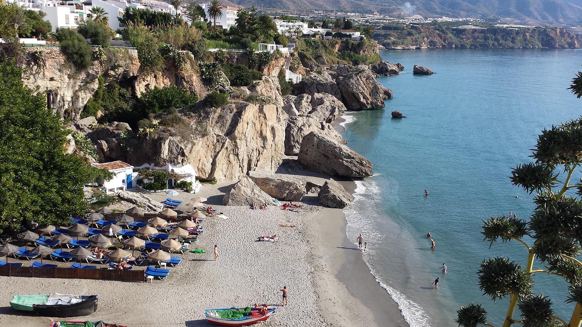
With summer just around the corner, it is this time of the year when many of us get a chance to step back, recharge, and enjoy the outdoors. From ETC-UMA´s side, as we head into the vacation season, we want ...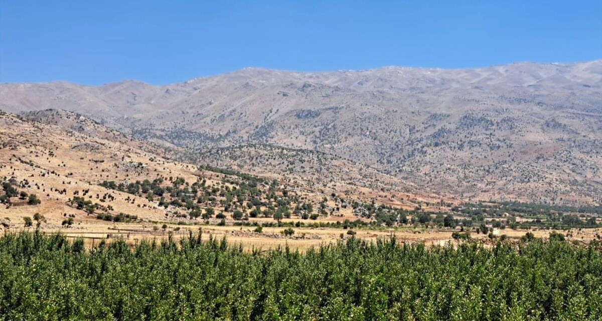
Back in Lebanon with BioConnect: Witnessing nature protection and socioecological resilience in action
As part of ETC-UMA’s role as the external evaluator for the EU-funded BioConnect project, the Centre’s Director, Dania Abdul Malak, carried out a site visit to Lebanon from July 8 to 12 to assess the project’s progress in its third ...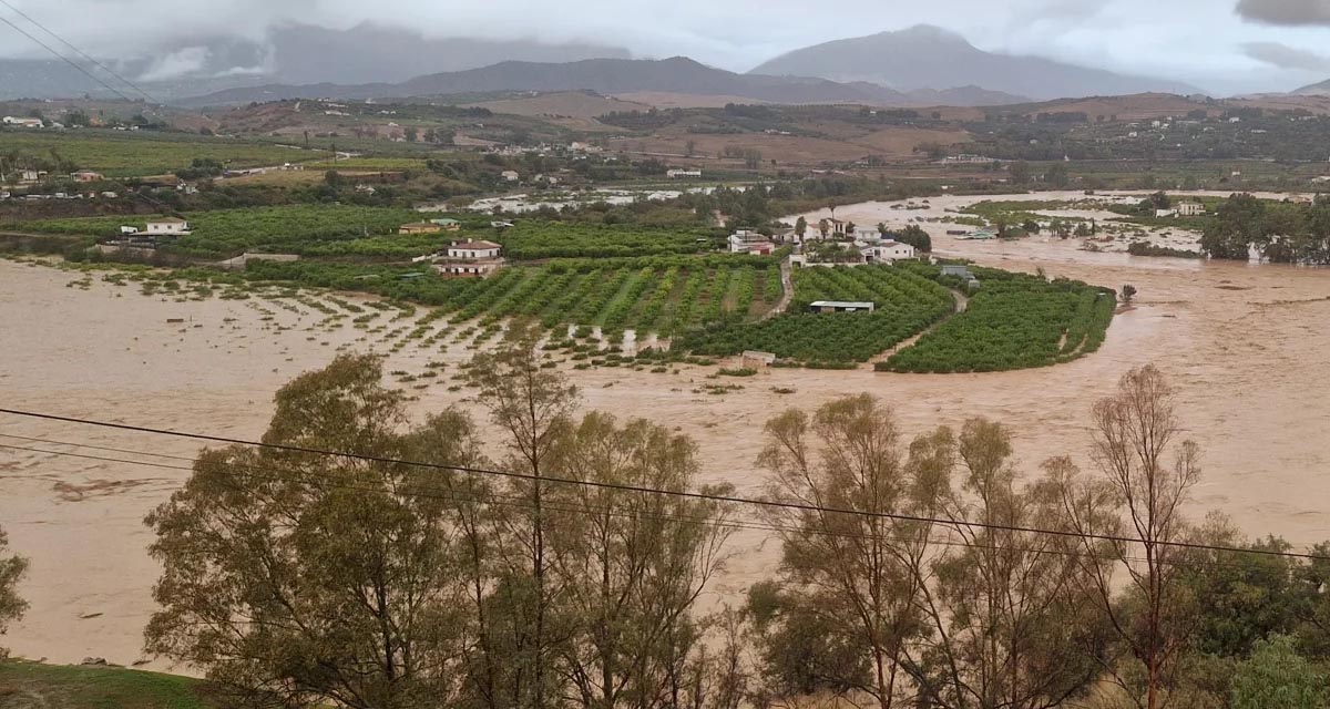
Boosting Climate Resilience: Wetland4Change Project Advances Flood Management Solutions for Mediterranean Coastal Zones
The Mediterranean coastal zone´s combination of multiple severe climate hazards – rising temperatures, water scarcity, sea-level rise, and extreme weather events – makes it a hotspot for highly interconnected climate risks for the ecosystems and societies. Recent catastrophic floods in ...
RESTORE4Cs 1st Policy Brief: How can coastal wetlands help achieve EU climate goals?
The first RESTORE4Cs Policy Brief of RESTORE4Cs, “How can coastal wetlands help achieve EU climate goals?“, highlights the importance of European coastal wetlands for reducing Greenhouse Gas emissions. The key messages of the first RESTORE4Cs Policy Brief include: Coastal wetlands are important natural carbon stores, ...
Mapping the Impact of Blue Tourism in the Mediterranean
The IUCN Centre for Mediterranean Cooperation with the support of ETC-UMA in the framework of the Blue Tourism Initiative, has released a comprehensive report entitled “Mapping the Impact of Blue Tourism in the Mediterranean: Vulnerability Assessment of Coastal and Marine ...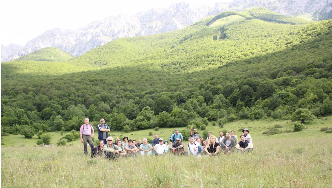
StrategyMedFor Presented at Annual Medforval Meeting 2024
StrategyMedFor was prominently featured at the Annual Medforval Meeting 2024, held from June 5-7 in Fontecchio, Italy. The event brought together 25 practitioners from national parks and natural reserves across 9 Mediterranean countries, providing a valuable platform for StrategyMedFor to ...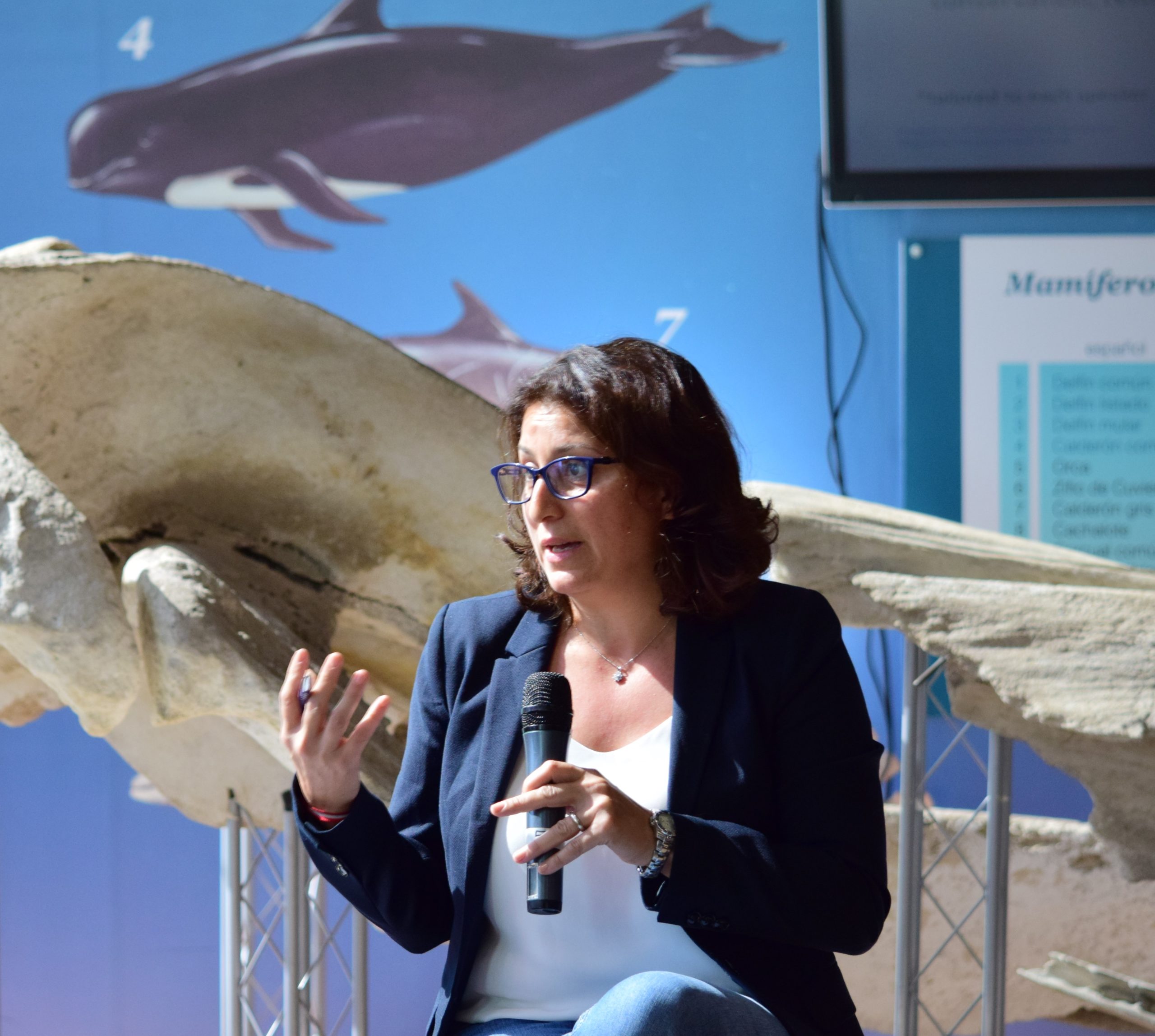
Celebrating leadership in environmental management: an interview with Dania Abdul Malak
From designing integrated ecosystem assessments in Europe and the Mediterranean to transforming outcomes into evidence-based recommendations for regional stakeholders, the European Topic Centre on Spatial Analysis and Synthesis (ETC-UMA) stands as a flagship for territorial cooperation. At the forefront of ...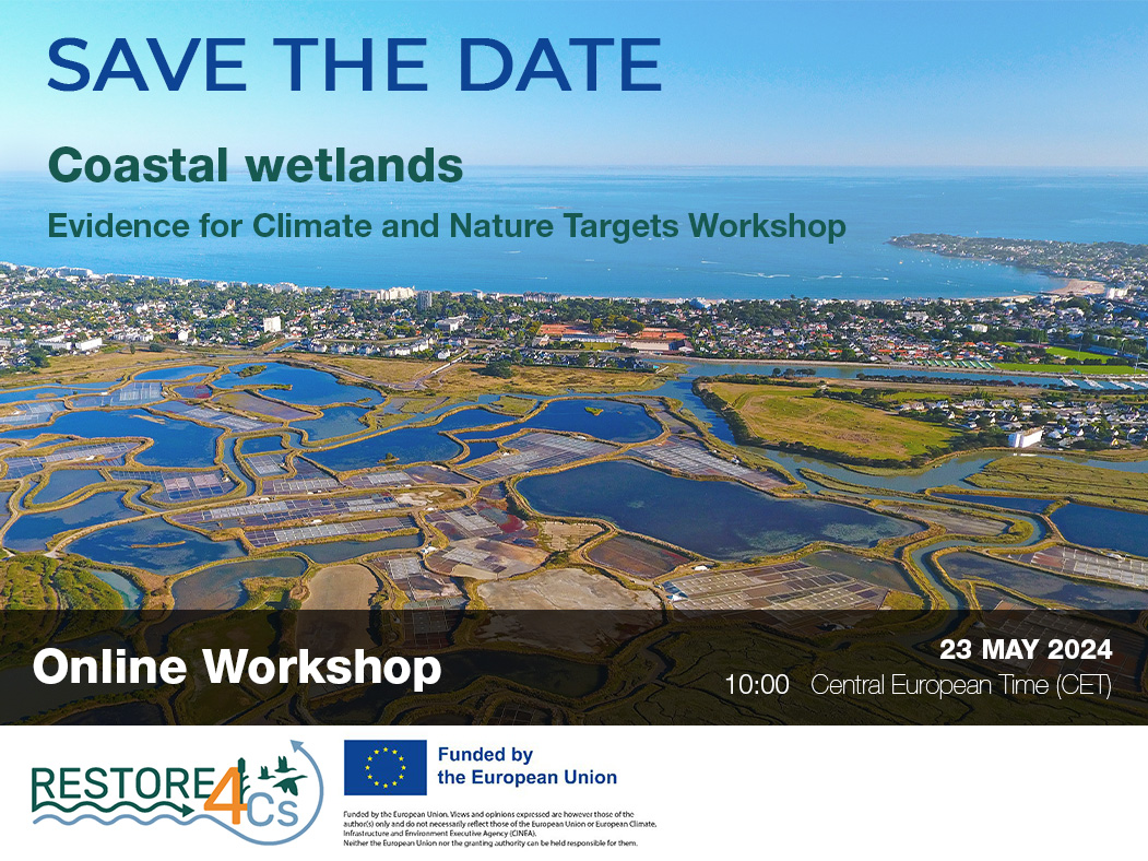
Save the date! Unlocking solutions for coastal conservation in Europe
How can coastal wetlands respond to major European Union objectives such as climate neutrality, biodiversity protection, and pollution reduction? What key role do coastal wetlands play in achieving EU commitments for climate mitigation and biodiversity conservation? The European Topic Centre ...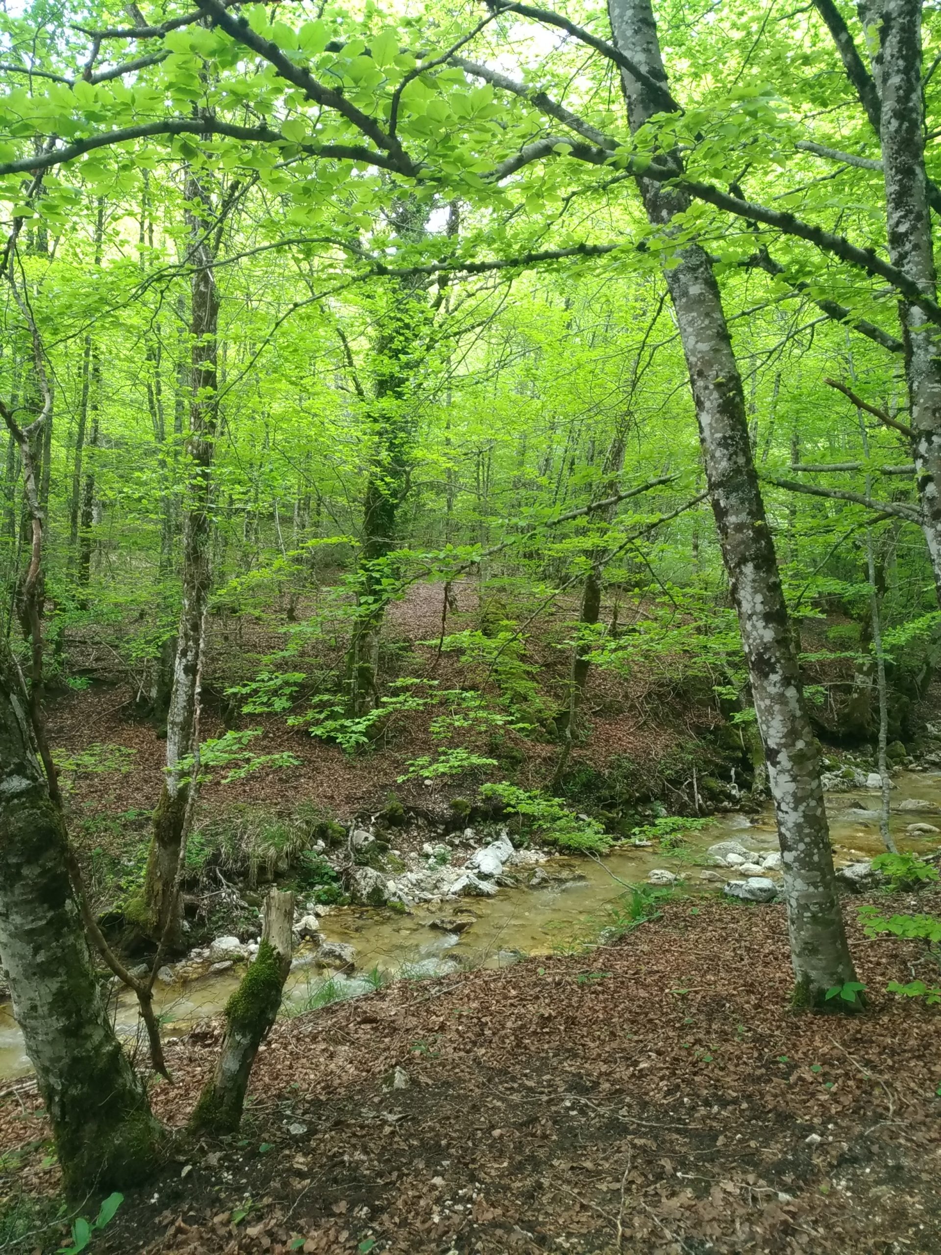
Towards a Strategy for the Sustainable Management of Mediterranean Forests (StrategyMedFor)
The StrategyMedFor project, co-financed by the Interreg Euro-MED programme, was launched at the University of Malaga during a two day meeting that took place on March 18 and 19, 2024. The European Topic Centre on Spatial Analysis and Synthesis (ETC-UMA), ...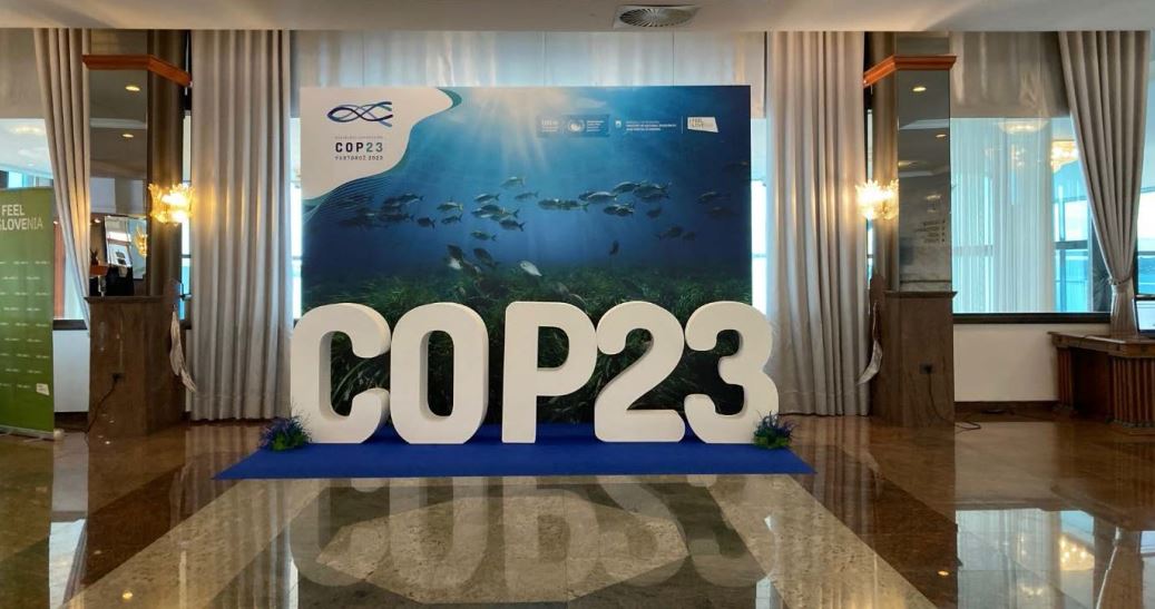
Collaborative science for forests by ETC-UMA showcased in Slovenia during the COP23
As UNEP MAP partner organization, ETC-UMA recently engaged in the organization of a session with Mediterranean institutions under the topic of climate change, entitled: From COASTAL to FOREST ecosystems: Mediterranean Nature-based Solutions to tackle climate change and ensure the Resilience ...
Tools for conserving the Spanish coast
On the initiative of the Instituto Universitario Hábitat Territorio y Digitalización (iHTD) of the University of Malaga, around 70 representatives of Spanish public administrations, researchers, architecture and environmental science players and civil society signed up to the second debate on ...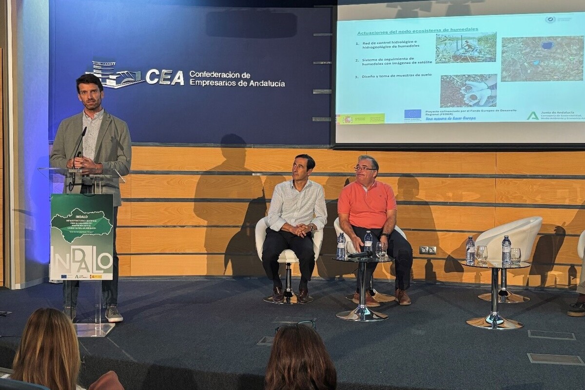
GreenEye System: a cloud-based system to monitor wetlands in Andalusia
Developed in the frame of the LifeWatch INDALO project cofinanced by the European Regional Development Fund (ERDF) for the study of biodiversity and global change in Andalucia, GreenEye System, this new cloud-based monitoring system, provides useful tools for wetlands’ assessment, ...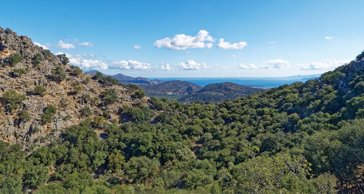
Looking back and forth to Mediterranean Forests
Timely published to enrich the knowledge available to fight fires and climate change challenges after an extremely hot summer, the proceedings of the Seventh Mediterranean Forest Week “Forest and Ecosystem Restoration for the next Mediterranean Generations” held from 21 to ...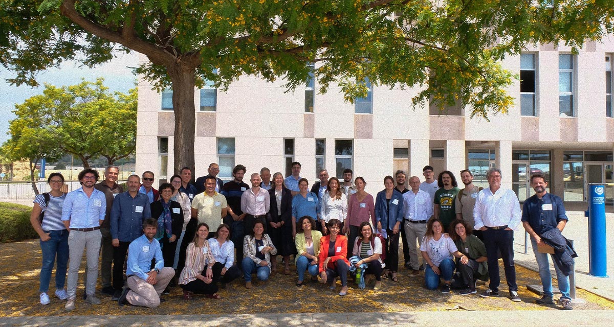
More space for innovative Mediterranean forest data partnerships
The report entitled A knowledge baseline on Mediterranean forests supported by innovation launched in July by ETC-UMA provides a highlight of what Mediterranean countries and institutions are doing to integrate new digital, satellite and Artificial Intelligence technologies into forest monitoring ...

