European topic centre - university of malaga
Meet our team members

Christoph Schröder
GIS specialist and project manager
christoph.schroder@uma.es
+34 951 952 906
Based on my MSc in Geography (University of Bonn) I have developed expertise in Geographic Information Systems and land use/cover change analysis from local to global scale with particular interest in the Mediterranean. Over the last few years, I have developed a strong involvement in science-policy interfaces on the European level, trying to find smart ways to solve important environmental issues relevant to policy-makers.
The main focus of my activities at ETC-UMA is on data integration and thematic assessment on European scale for a wide range of topics from sustainable tourism to nutrient inputs on agro-ecosystems. This data-driven work is supporting the European Environment Agency in their policy monitoring and formulation. I have also applied my GIS expertise on a variety of projects dealing with terrestrial and marine ecosystems (Med-IAMER) and territorial development (ESPON ESaTDOR). In recent year, I have gained a profound expertise in the assessment of user requirements for Earth Observation products, particularly addressing habitat and wetland monitoring.
Since 2014, I am local contact point for the Erasmus Mundus project gSmart, facilitating the selection and support to students and researchers from Central Asian partner universities.
Do not hesitate to get in touch with me via e-mail or LinkedIn.
RESOURCES
Journal Articles
Weise, K.; Höfer, R.; Franke, J.; Guelmami, A.; Simonson, W.; Muro, J.; O'Connor, B.; Strauch, A.; Flink, S.; Eberle, J.; Mino, E.; Thulin, S.; Philipson, P.; van Valkengoed, E.; Truckenbrodt, J.; Zander, F.; Sánchez-Espinosa, A.; Schröder, C.; Thinfeld, F.; Fitoka, E.; Scott, E.; Ling, M.; Schwarz, M.; Kunz, I.; Thürmer, G.; Plasmeijer, A.; Hilarides, L.
Wetland extent tools for SDG 6.6.1 reporting from the Satellite-based Wetland Observation Service (SWOS) Journal Article
In: Remote Sensing of Environment, vol. 247, 2019.
Abstract | Links | BibTeX | Tags: Climate Change, Conservation and management, Environmental conservation, SWOS, Wetlands
@article{Weise2019,

title = {Wetland extent tools for SDG 6.6.1 reporting from the Satellite-based Wetland Observation Service (SWOS)},

author = {K. Weise and R. Höfer and J. Franke and A. Guelmami and W. Simonson and J. Muro and B. O'Connor and A. Strauch and S. Flink and J. Eberle and E. Mino and S. Thulin and P. Philipson and E. van Valkengoed and J. Truckenbrodt and F. Zander and A. Sánchez-Espinosa and C. Schröder and F. Thinfeld and E. Fitoka and E. Scott and M. Ling and M. Schwarz and I. Kunz and G. Thürmer and A. Plasmeijer and L. Hilarides},

url = {https://doi.org/10.1016/j.rse.2020.111892},

doi = {https://doi.org/10.1016/j.rse.2020.111892},

year  = {2019},

date = {2019-09-15},

journal = {Remote Sensing of Environment},

volume = {247},

abstract = {Wetlands are the most fragile and threatened ecosystems worldwide, and also one of the most rapidly declining. At the same time wetlands are typically biodiversity hotspots and provide a range of valuable ecosystem services, such as water supply and purification, disaster risk reduction, climate change adaptation, and carbon sequestration.


Pressures on wetlands are likely to further intensify in the coming decades due to increased global demand for land and water, and due to climate change. Stakeholders at all levels of governance have to be involved to slow, stop and reverse these processes. However, the information they need on wetland extent, their ecological character, and their ecosystem services is often scattered, sparse and difficult to find and access.


The freely available Sentinel satellite data of the Copernicus Programme, as well as the Landsat archive, provide a comprehensive basis to map and inventory wetland areas (extent), to derive information on the ecological status, as well as long- and short-term trends in wetland characteristics. However, making use of these Earth Observation (EO) resources for robust and standardized wetland monitoring requires expert knowledge on often complex data processing techniques, which impedes practical implementation. In this respect, the Satellite-based Wetland Observation Service (SWOS), a Horizon 2020 funded project (www.swos-service.eu) has developed and made disseminated monitoring approaches based on EO data, specifically designed for less experienced satellite data users.


The SWOS monitoring tools aim at assisting countries in conducting national wetland inventories for their Sustainable Development Goals (SDG) reporting and monitoring obligations, and additionally facilitates other monitoring obligations such as those required by the Ramsar Convention and supports decision-making in local conservation activities. The four main components of the SWOS approach are: map and indicator production; software development; capacity building; and initializing the GEO Wetlands Community Portal. Wetland managers and data analysists from more than fifty wetland sites and river basins across Europe, the Middle East, and Africa investigated the benefits and limitations of this EO-based wetland mapping and monitoring approach.


We describe research that applies the SWOS tools to test their potential for the mapping of wetlands in a case study based in Albania, and show its effectiveness to derive metrics relevant to the monitoring of SDG indicator 6.6.1.},

keywords = {Climate Change, Conservation and management, Environmental conservation, SWOS, Wetlands},

pubstate = {published},

tppubtype = {article}

}
Pressures on wetlands are likely to further intensify in the coming decades due to increased global demand for land and water, and due to climate change. Stakeholders at all levels of governance have to be involved to slow, stop and reverse these processes. However, the information they need on wetland extent, their ecological character, and their ecosystem services is often scattered, sparse and difficult to find and access.
The freely available Sentinel satellite data of the Copernicus Programme, as well as the Landsat archive, provide a comprehensive basis to map and inventory wetland areas (extent), to derive information on the ecological status, as well as long- and short-term trends in wetland characteristics. However, making use of these Earth Observation (EO) resources for robust and standardized wetland monitoring requires expert knowledge on often complex data processing techniques, which impedes practical implementation. In this respect, the Satellite-based Wetland Observation Service (SWOS), a Horizon 2020 funded project (www.swos-service.eu) has developed and made disseminated monitoring approaches based on EO data, specifically designed for less experienced satellite data users.
The SWOS monitoring tools aim at assisting countries in conducting national wetland inventories for their Sustainable Development Goals (SDG) reporting and monitoring obligations, and additionally facilitates other monitoring obligations such as those required by the Ramsar Convention and supports decision-making in local conservation activities. The four main components of the SWOS approach are: map and indicator production; software development; capacity building; and initializing the GEO Wetlands Community Portal. Wetland managers and data analysists from more than fifty wetland sites and river basins across Europe, the Middle East, and Africa investigated the benefits and limitations of this EO-based wetland mapping and monitoring approach.
We describe research that applies the SWOS tools to test their potential for the mapping of wetlands in a case study based in Albania, and show its effectiveness to derive metrics relevant to the monitoring of SDG indicator 6.6.1.
Rodríguez-Rodríguez, D.; Abdul-Malak, D.; Schröder, C.; McGlade, K.; Pascual, D.
Bridging the research-management gap in environmental conservation: A case study from Andalusia, southern Spain Journal Article
In: SDRP Journal of Earth Sciences & Environmental Studies, vol. 4, no. 2, pp. 579-588, 2019, ISBN: 2472-6397 .
Abstract | Links | BibTeX | Tags: Conservation and management, Environmental conservation, Protected areas, SOSTPARK
@article{Rodríguez-Rodríguez2019b,

title = {Bridging the research-management gap in environmental conservation: A case study from Andalusia, southern Spain},

author = {D. Rodríguez-Rodríguez and D. Abdul-Malak and C. Schröder and K. McGlade and D. Pascual},

url = {https://www.siftdesk.org/article-details/Bridging-the-research-management-gap-in-environmental-conservation-A-case-study-from-Andalusia-southern-Spain/489},

doi = {10.25177/JESES.4.2.RA.489},

isbn = {2472-6397 },

year  = {2019},

date = {2019-04-01},

journal = {SDRP Journal of Earth Sciences & Environmental Studies},

volume = {4},

number = {2},

pages = {579-588},

abstract = {Science is believed to provide the most objective basis for effective decision-making, though it is rarely implemented in environmental management. Here we reflect on the results of a regional workshop aimed at exploring the knowledge and use of scientific evidence by environmental managers in an ecologically diverse region in southern Spain: Andalusia. Scientists were moderately aware of regional managerial needs. They stated that regional managers’ needs could be mostly addressed by their research centers, and that they often considered managerial needs when conducting research. In turn, environmental managers had limited knowledge of, and interest in, the environmental research carried out in the region. However, managers stated they frequently use scientific outputs in their jobs. The main perceived barriers to effective use of science in regional environmental management by both groups were: different priorities by each group, and limited time of managers to check scientific information. Scientists also perceived that managers were not sufficiently engaged in research and that they were often reluctant to change their usual managerial practices. Managers mentioned inadequate scientific dissemination formats. The perceived solutions to those issues were: reinforcing collaboration mechanisms between both groups; aligning research to managerial needs more closely; greater managers’ awareness of adaptive management; and developing user friendly, synthetic communication tools for managers. The insights from the workshop are intended to help scientists and managers to enhance effective use of environmental science in Spain and elsewhere.},

keywords = {Conservation and management, Environmental conservation, Protected areas, SOSTPARK},

pubstate = {published},

tppubtype = {article}

}
Proceedings
Martorell-Guerrero, G.; Marín, A. I.; Sánchez-Espinosa, A.; Schröder, C.
Herramientas de apoyo a la gestión de los humedales de Andalucía basadas en Google Earth Engine. Proceedings
2023.
Abstract | Links | BibTeX | Tags: Climate Change, Conservation and management, Environmental conservation, Geotechnology, Groundwater, Pressures, Wetlands
@proceedings{nokey,

title = {Herramientas de apoyo a la gestión de los humedales de Andalucía basadas en Google Earth Engine.},

author = {G. Martorell-Guerrero and A. I. Marín and A. Sánchez-Espinosa and C. Schröder},

url = {https://riuma.uma.es/xmlui/bitstream/handle/10630/28052/Martorell_et_al_2023_SIAGA.pdf?sequence=1&isAllowed=y},

year  = {2023},

date = {2023-11-13},

urldate = {2023-11-13},

booktitle = {Simposio del Agua en Andalucía 2023},

abstract = {Los humedales son ecosistemas claves a nivel global para la provisión de servicios ecosistémicos tan importantes como la regulación climática o el mantenimiento de la biodiversidad. Sin embargo, en las últimas décadas la situación de degradación y desaparición de estos hábitats es alarmante a pesar de ser centro de múltiples políticas internacionales de protección que, a la luz de los resultados que están teniendo, no han tenido la efectividad esperada en su implementación real. Por tanto, es necesario tomar medidas urgentes dirigidas a revertir esta situación y que su implementación sea evaluada de forma objetiva, sistemática y recurrente. Este trabajo presenta una herramienta web llamada GreenEye Hub para el seguimiento de los humedales del Inventario de Humedales de Andalucía basada en imágenes de satélite del Sentinel-2, técnicas de teledetección y en tecnologías de procesamiento de datos masivos mediante Google Earth Engine. La herramienta, con un diseño orientado a la gestión de estos ecosistemas, presenta una consola de visualización que permite realizar el seguimiento de los principales indicadores de agua y vegetación y el análisis de tendencias de estos. Es, por tanto, un sistema de apoyo a la gestión y a la toma de decisiones. Este estudio proporciona información de cómo es factible en la actualidad desarrollar un sistema de seguimiento de humedales a escala regional a partir de datos gratuitos accesibles y cómo esta herramienta constituye un proceso de transferencia del conocimiento desde la ciencia a la gestión.},

keywords = {Climate Change, Conservation and management, Environmental conservation, Geotechnology, Groundwater, Pressures, Wetlands},

pubstate = {published},

tppubtype = {proceedings}

}
Technical Reports
Schröder, C.; Sánchez-Espinosa, A.; Teixidor, A.; Costa, G.; Galán, R.; Prieto, L.; Balestracci, G.; Kuhn, M. A.; Marín, P.; Martín, A.; Numa, C.; Sciacca, A.
Mapping the Impact of Blue Tourism in the Mediterranean: Vulnerability Assessment of Coastal and Marine Ecosystems Technical Report
2024.
Abstract | Links | BibTeX | Tags: Biodiversity, Conservation and management, Environmental conservation, Marine protected areas, Mediterranean sea, Pressures, Tourism, Transboundary management
@techreport{Schröder2024,

title = {Mapping the Impact of Blue Tourism in the Mediterranean: Vulnerability Assessment of Coastal and Marine Ecosystems},

author = {C. Schröder and A. Sánchez-Espinosa and A. Teixidor and G. Costa and R. Galán and L. Prieto and G. Balestracci and M.A. Kuhn and P. Marín and A. Martín and C. Numa and A. Sciacca},

url = {https://www.etc.uma.es/wp-content/uploads/Mapping-the-Impact-of-Blue-Tourism-in-the-Mediterranean-web.pdf},

year  = {2024},

date = {2024-09-03},

abstract = {The IUCN Centre for Mediterranean Cooperation with the support of ETC-UMA in the framework of the Blue Tourism Initiative, has released a comprehensive report entitled “Mapping the Impact of Blue Tourism in the Mediterranean: Vulnerability Assessment of Coastal and Marine Ecosystems.” This groundbreaking report reveals how tourism is affecting the Mediterranean’s coastal and marine ecosystems and provides actionable recommendations to promote sustainable blue tourism practices.


The spatial assessment identifies highly vulnerable regions in the Mediterranean, focusing on cumulative tourism pressures and the lack of protected ecologically sensitive areas. Regions such as Cádiz and Malaga in Spain, Antalya and Hatay in Türkiye, Girona and Menorca, Annaba Province in Algeria, and Trieste Province in Italy face high tourism pressures and low protection levels. Even regions with relatively high protection levels still experience significant tourism pressures, while Eastern and Southern Mediterranean countries with low protection levels are extremely vulnerable.


Among its key findings and highlights, we can find the threats to Posidonia oceanica, a unique Mediterranean seagrass, which is under significant threat from leisure boat anchoring. This vital habitat, covering approximately 19,482 square kilometers, provides essential ecosystem services such as carbon sequestration, coastal protection, and habitat provision. The report highlights the pressures from harmful fishing practices and anchoring, especially near major tourist centers. The analysis shows a seasonal increase in leisure boat traffic, with a notable rise in the post-pandemic period.


The report also addresses the threat of vessel collisions with whales in the Northwest Mediterranean. This area is critical for fin whales, hosting up to 70% of the Mediterranean population and significant feeding grounds. It also supports around 50% of the Mediterranean sperm whale population during the summer. The heavy maritime traffic, including goods shipping, passenger transport, and cruise tourism, significantly increases the risk of ship strikes.},

keywords = {Biodiversity, Conservation and management, Environmental conservation, Marine protected areas, Mediterranean sea, Pressures, Tourism, Transboundary management},

pubstate = {published},

tppubtype = {techreport}

}
The spatial assessment identifies highly vulnerable regions in the Mediterranean, focusing on cumulative tourism pressures and the lack of protected ecologically sensitive areas. Regions such as Cádiz and Malaga in Spain, Antalya and Hatay in Türkiye, Girona and Menorca, Annaba Province in Algeria, and Trieste Province in Italy face high tourism pressures and low protection levels. Even regions with relatively high protection levels still experience significant tourism pressures, while Eastern and Southern Mediterranean countries with low protection levels are extremely vulnerable.
Among its key findings and highlights, we can find the threats to Posidonia oceanica, a unique Mediterranean seagrass, which is under significant threat from leisure boat anchoring. This vital habitat, covering approximately 19,482 square kilometers, provides essential ecosystem services such as carbon sequestration, coastal protection, and habitat provision. The report highlights the pressures from harmful fishing practices and anchoring, especially near major tourist centers. The analysis shows a seasonal increase in leisure boat traffic, with a notable rise in the post-pandemic period.
The report also addresses the threat of vessel collisions with whales in the Northwest Mediterranean. This area is critical for fin whales, hosting up to 70% of the Mediterranean population and significant feeding grounds. It also supports around 50% of the Mediterranean sperm whale population during the summer. The heavy maritime traffic, including goods shipping, passenger transport, and cruise tourism, significantly increases the risk of ship strikes.
UNEP-MAP,; Plan-Bleu,; Abdul-Malak, D.; Marín, A. I.; Schröder, C.; Sánchez-Espinosa, A.
SoED 2020 : State of Environment and Development in Mediterranean Technical Report
2020.
Abstract | Links | BibTeX | Tags: Biodiversity, Climate Change, Conservation and management, Environmental conservation, Marine protected areas, Mediterranean sea, Pressures, Protected areas
@techreport{UNEP-MAP2020,

title = {SoED 2020 : State of Environment and Development in Mediterranean},

author = {UNEP-MAP and Plan-Bleu and D. Abdul-Malak and A. I. Marín and C. Schröder and A. Sánchez-Espinosa},

url = {https://planbleu.org/en/soed-2020-state-of-environment-and-development-in-mediterranean/},

year  = {2020},

date = {2020-12-01},

abstract = {The SoED provides a comprehensive and up-to-date assessment of environment and development interactions in the Mediterranean region. The 2020 version consists of eight thematic chapters and is complemented by two summary papers: Summary for Decision Makers and Key Messages. Topics covered include: socio-economic drivers and trends; climate change; biodiversity and ecosystem services; economic activities and related pressures; coastal dynamics and related impacts; food and water security; health and environment; and governance.},

keywords = {Biodiversity, Climate Change, Conservation and management, Environmental conservation, Marine protected areas, Mediterranean sea, Pressures, Protected areas},

pubstate = {published},

tppubtype = {techreport}

}
Gomei, M.; Abdulla, A.; Schröder, C.; Yadav, S.; Sánchez-Espinosa, A.; Rodríguez-Rodríguez, D.; Abdul-Malak, D.
Towards 2020: how Mediterranean countries are performing to protect their sea Technical Report
2019.
Links | BibTeX | Tags: Biodiversity, Conservation and management, Environmental conservation, Marine protected areas, Mediterranean sea, Pressures, Protected areas
@techreport{Gomei2019,

title = {Towards 2020: how Mediterranean countries are performing to protect their sea},

author = {M. Gomei and A. Abdulla and C. Schröder and S. Yadav and A. Sánchez-Espinosa and D. Rodríguez-Rodríguez and D. Abdul-Malak},

url = {https://d2ouvy59p0dg6k.cloudfront.net/downloads/towards2020_report_nov2019.pdf},

year  = {2019},

date = {2019-11-01},

keywords = {Biodiversity, Conservation and management, Environmental conservation, Marine protected areas, Mediterranean sea, Pressures, Protected areas},

pubstate = {published},

tppubtype = {techreport}

}
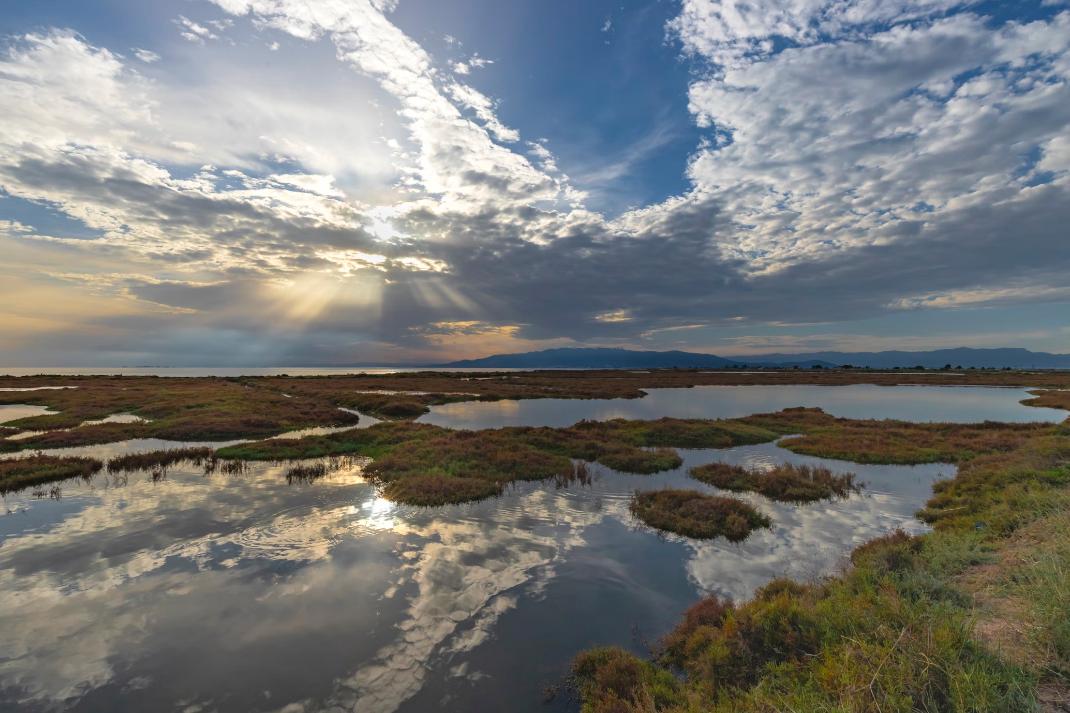
RESTORE4Cs 2nd Policy Brief: Unlocking Potential of Coastal Wetlands in Europe: Integration into National Restoration Plans
The second RESTORE4Cs Policy Brief of RESTORE4Cs, “Unlocking Potential of Coastal Wetlands in Europe: Integration into National Restoration Plans“, highlights the critical role of National Restoration Plans (NRPs) under the EU Nature Restoration Regulation in enhancing the restoration and resilience of coastal wetlands. The brief outlines how ...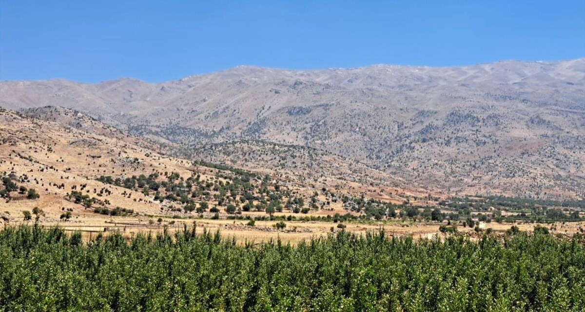
Back in Lebanon with BioConnect: Witnessing nature protection and socioecological resilience in action
As part of ETC-UMA’s role as the external evaluator for the EU-funded BioConnect project, the Centre’s Director, Dania Abdul Malak, carried out a site visit to Lebanon from July 8 to 12 to assess the project’s progress in its third ...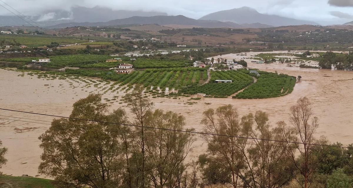
Boosting Climate Resilience: Wetland4Change Project Advances Flood Management Solutions for Mediterranean Coastal Zones
The Mediterranean coastal zone´s combination of multiple severe climate hazards – rising temperatures, water scarcity, sea-level rise, and extreme weather events – makes it a hotspot for highly interconnected climate risks for the ecosystems and societies. Recent catastrophic floods in ...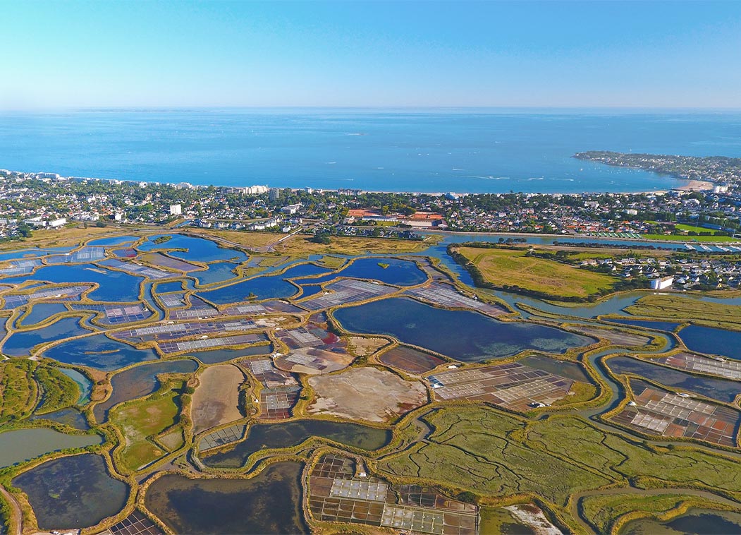
RESTORE4Cs 1st Policy Brief: How can coastal wetlands help achieve EU climate goals?
The first RESTORE4Cs Policy Brief of RESTORE4Cs, “How can coastal wetlands help achieve EU climate goals?“, highlights the importance of European coastal wetlands for reducing Greenhouse Gas emissions. The key messages of the first RESTORE4Cs Policy Brief include: Coastal wetlands are important natural carbon stores, ...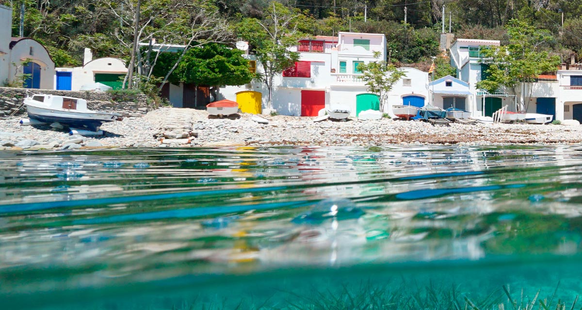
Mapping the Impact of Blue Tourism in the Mediterranean
The IUCN Centre for Mediterranean Cooperation with the support of ETC-UMA in the framework of the Blue Tourism Initiative, has released a comprehensive report entitled “Mapping the Impact of Blue Tourism in the Mediterranean: Vulnerability Assessment of Coastal and Marine ...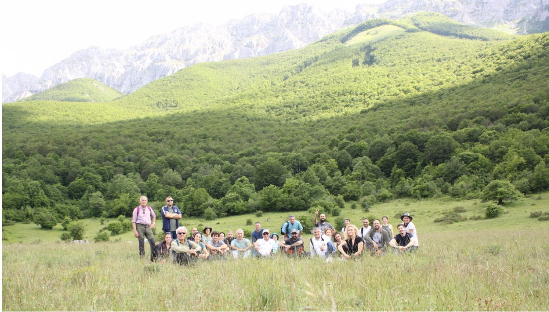
StrategyMedFor Presented at Annual Medforval Meeting 2024
StrategyMedFor was prominently featured at the Annual Medforval Meeting 2024, held from June 5-7 in Fontecchio, Italy. The event brought together 25 practitioners from national parks and natural reserves across 9 Mediterranean countries, providing a valuable platform for StrategyMedFor to ...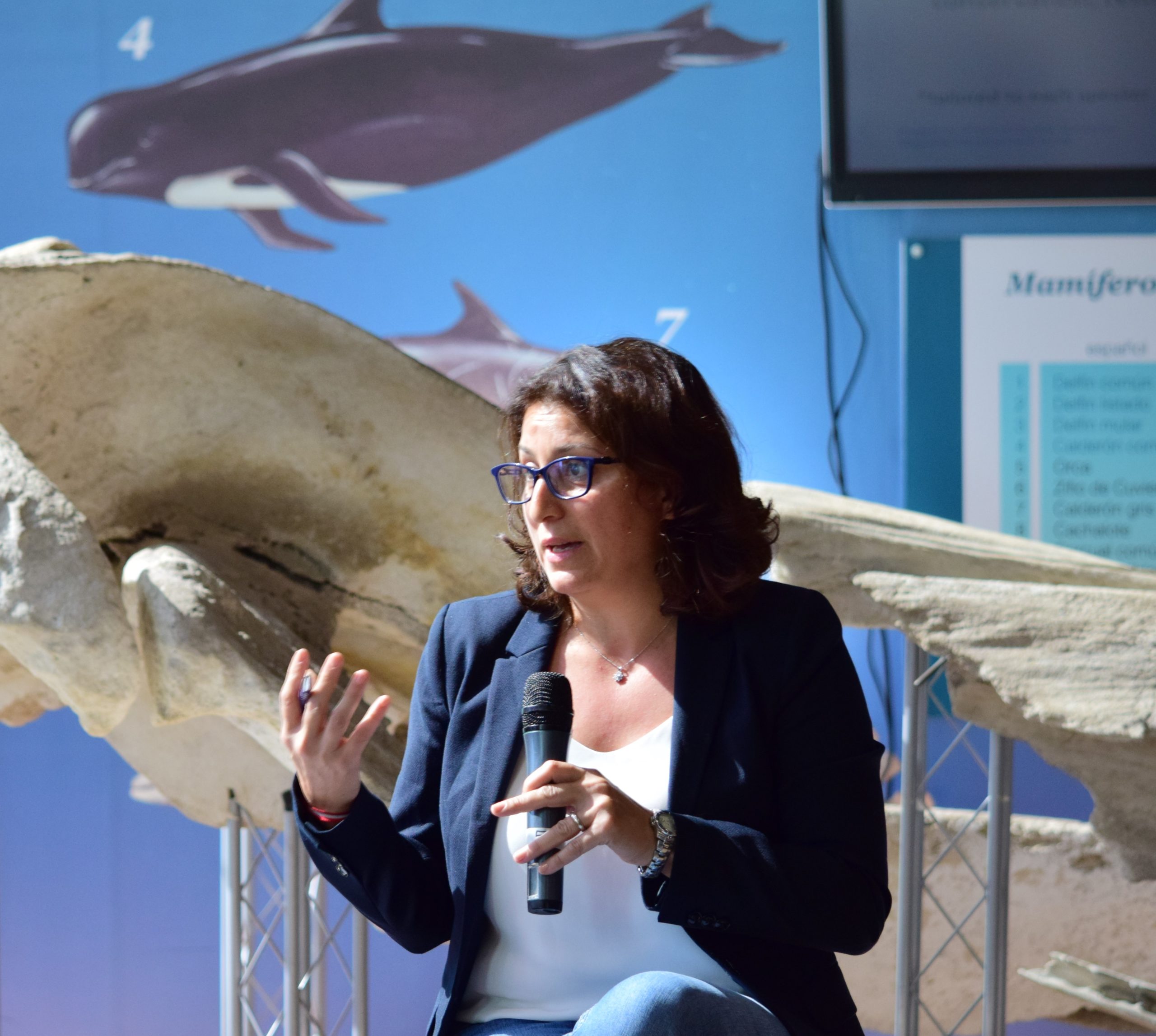
Celebrating leadership in environmental management: an interview with Dania Abdul Malak
From designing integrated ecosystem assessments in Europe and the Mediterranean to transforming outcomes into evidence-based recommendations for regional stakeholders, the European Topic Centre on Spatial Analysis and Synthesis (ETC-UMA) stands as a flagship for territorial cooperation. At the forefront of ...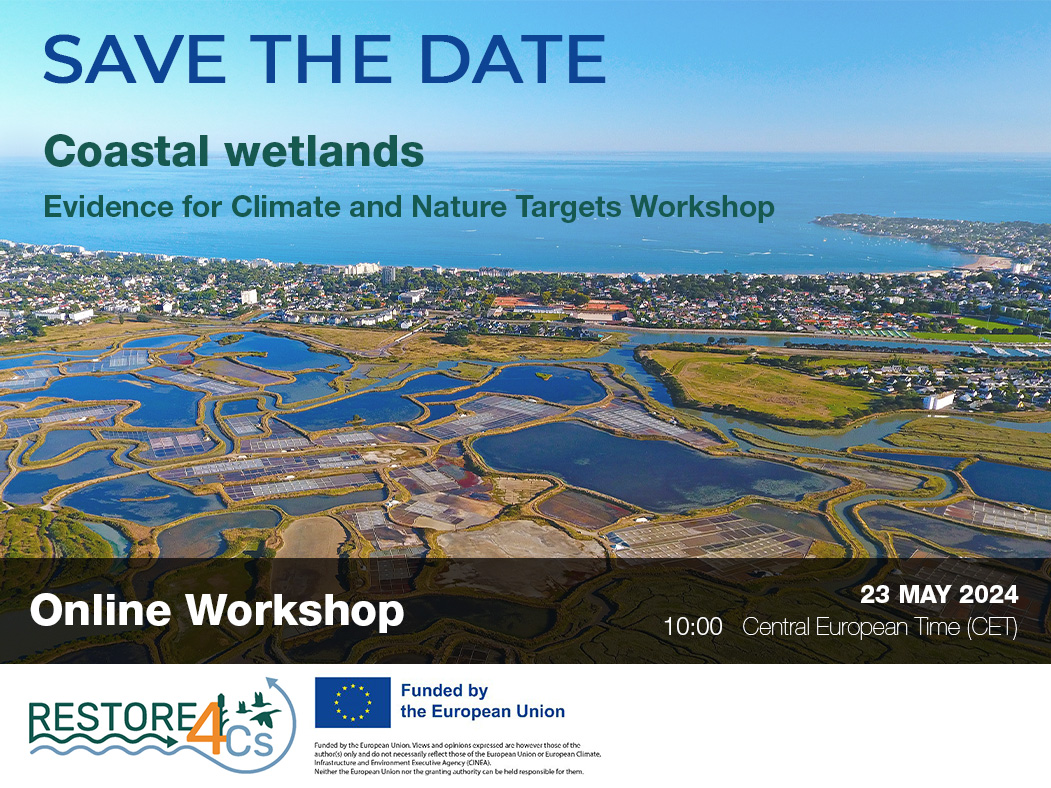
Save the date! Unlocking solutions for coastal conservation in Europe
How can coastal wetlands respond to major European Union objectives such as climate neutrality, biodiversity protection, and pollution reduction? What key role do coastal wetlands play in achieving EU commitments for climate mitigation and biodiversity conservation? The European Topic Centre ...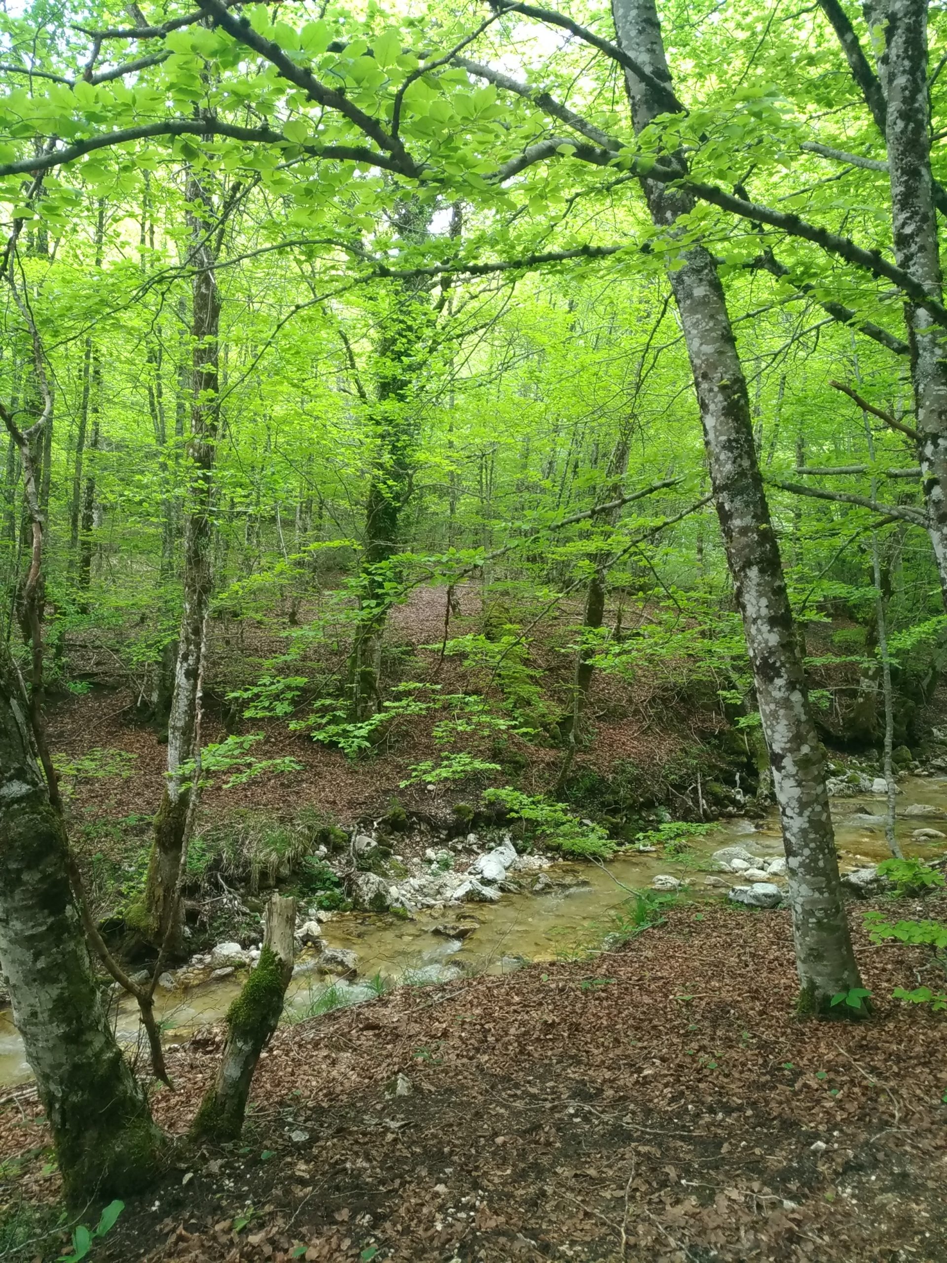
Towards a Strategy for the Sustainable Management of Mediterranean Forests (StrategyMedFor)
The StrategyMedFor project, co-financed by the Interreg Euro-MED programme, was launched at the University of Malaga during a two day meeting that took place on March 18 and 19, 2024. The European Topic Centre on Spatial Analysis and Synthesis (ETC-UMA), ...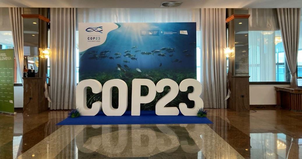
Collaborative science for forests by ETC-UMA showcased in Slovenia during the COP23
As UNEP MAP partner organization, ETC-UMA recently engaged in the organization of a session with Mediterranean institutions under the topic of climate change, entitled: From COASTAL to FOREST ecosystems: Mediterranean Nature-based Solutions to tackle climate change and ensure the Resilience ...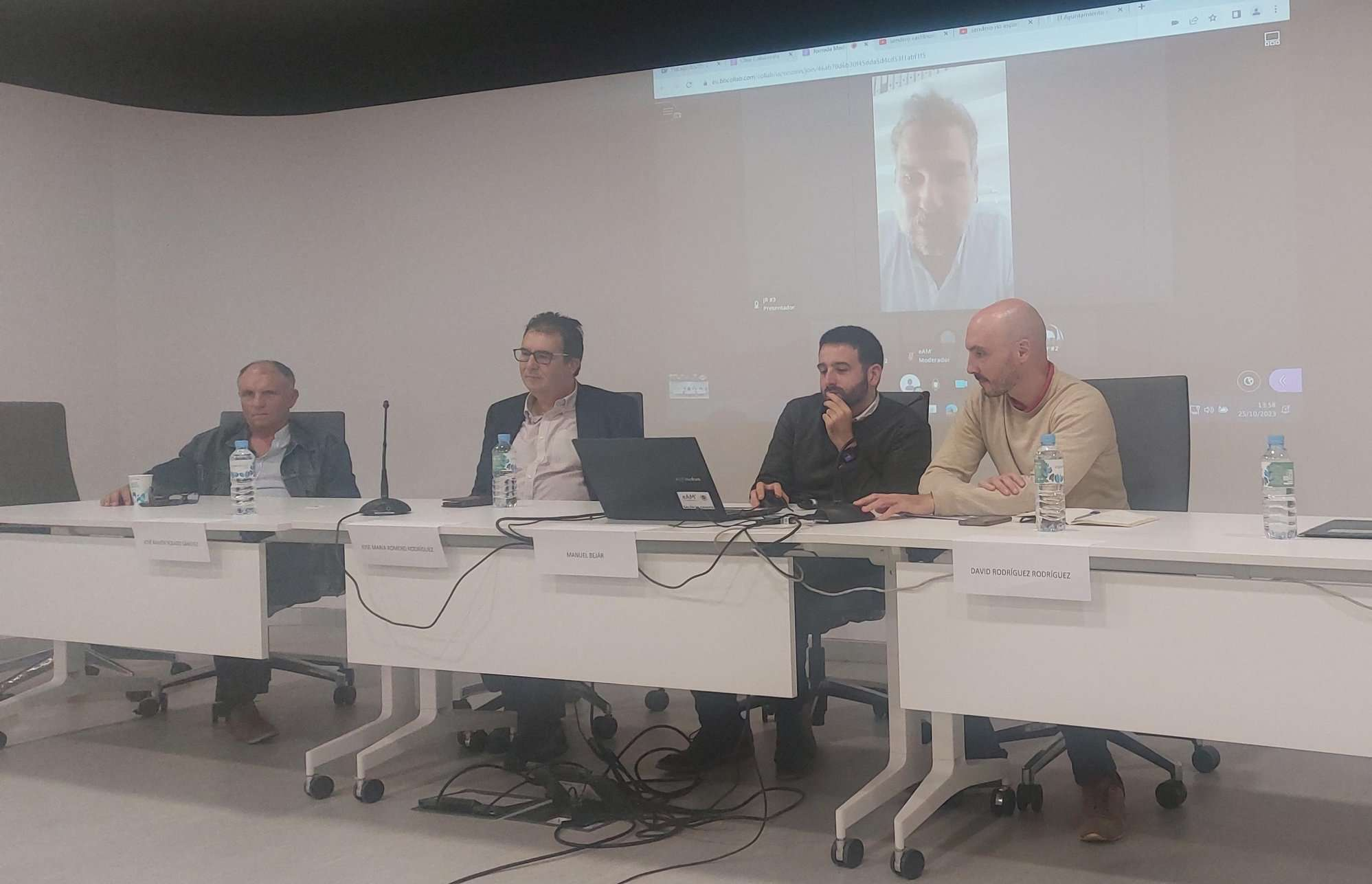
Tools for conserving the Spanish coast
On the initiative of the Instituto Universitario Hábitat Territorio y Digitalización (iHTD) of the University of Malaga, around 70 representatives of Spanish public administrations, researchers, architecture and environmental science players and civil society signed up to the second debate on ...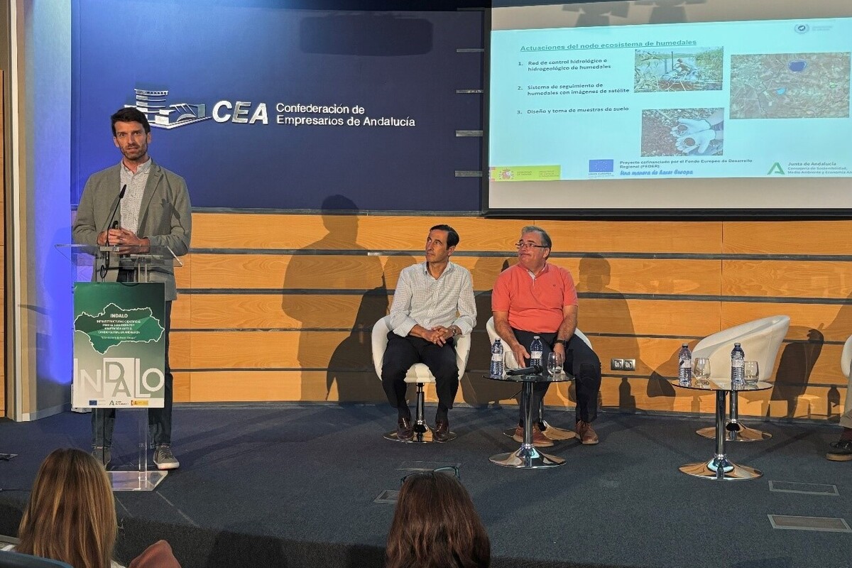
GreenEye System: a cloud-based system to monitor wetlands in Andalusia
Developed in the frame of the LifeWatch INDALO project cofinanced by the European Regional Development Fund (ERDF) for the study of biodiversity and global change in Andalucia, GreenEye System, this new cloud-based monitoring system, provides useful tools for wetlands’ assessment, ...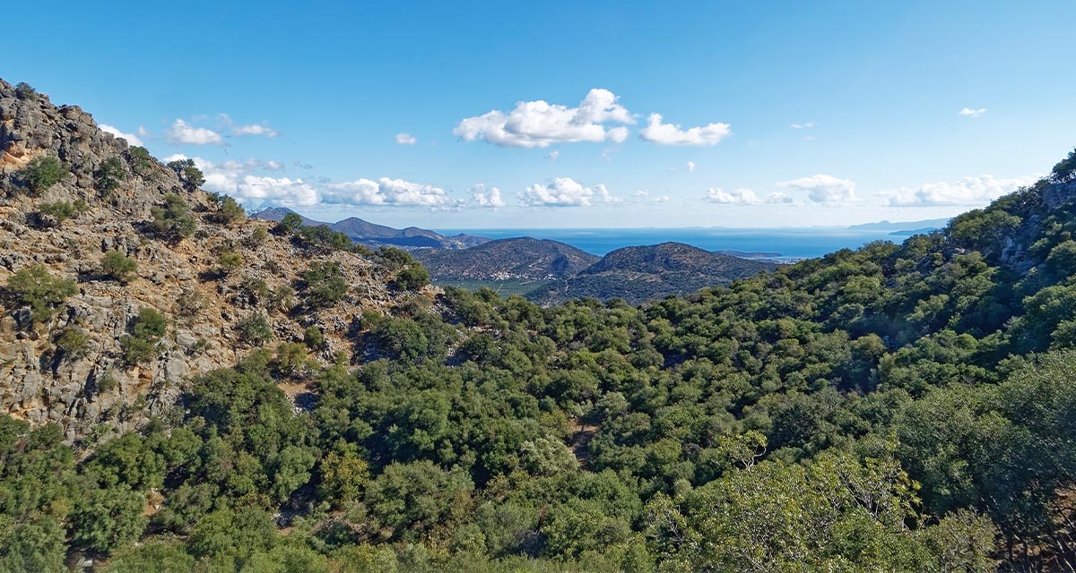
Looking back and forth to Mediterranean Forests
Timely published to enrich the knowledge available to fight fires and climate change challenges after an extremely hot summer, the proceedings of the Seventh Mediterranean Forest Week “Forest and Ecosystem Restoration for the next Mediterranean Generations” held from 21 to ...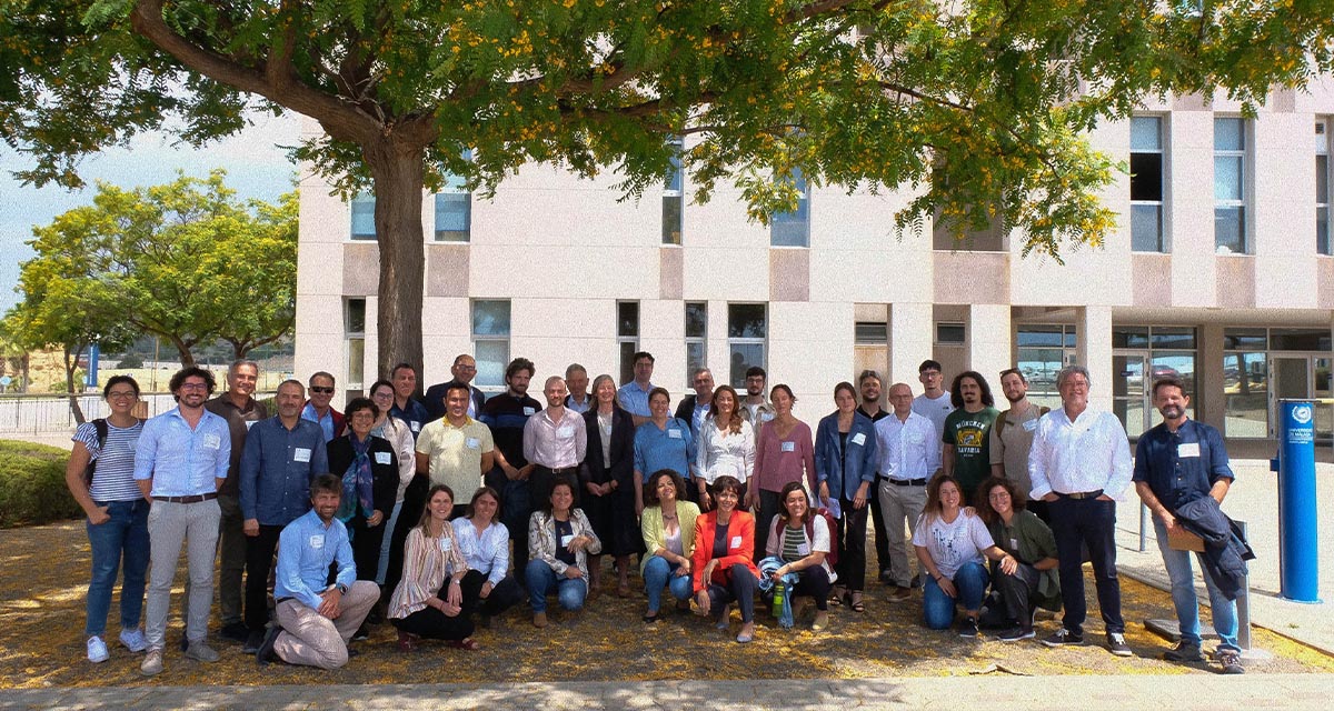
More space for innovative Mediterranean forest data partnerships
The report entitled A knowledge baseline on Mediterranean forests supported by innovation launched in July by ETC-UMA provides a highlight of what Mediterranean countries and institutions are doing to integrate new digital, satellite and Artificial Intelligence technologies into forest monitoring ...

