European topic centre - university of malaga
Meet our team members

Emanuele Mancosu
Data manager and GIS specialist
emanuele.mancosu@uma.es
+34 951 952 908
Strong interests and curiosity about environment subjects and informatics technology. The academic career was orientated in natural science finished in 2004 with highest honors with particular attention on geographic information system, where was realized as final work a digital map about different levels of vegetation of a WWF Natural Park, close to Cagliari. A long experience of life in South America and a shorter one in Lapland allows increasing social skills and knowledge of foreign languages as Spanish and English, practice with computer science and computer technician, strong contacts with people and with the nature. In 2007 improve his studies with a master degree in SIG in the Autonomous University of Barcelona (UAB).
This studies allow to increase and to broaden the knowledge about GIS, in specifics, how to create and edit a Map in digital format, how to design, create and maintain a database, how to do spatial analysis, bases of programming with Visual Basic, JavaScript languages, create and manage a Web Server. Moreover a final work with three months practices in UAB to develop a prototype of a Geoportal to store, manage and publish the metadata of the center with the software GeoNetwork opensource.
From February 2009 he is working in the ETC (before in UAB and currently in UMA) covering tasks as jointly responsible for the system administrations’ tasks, responsible for the management of the Reference Data maintaining a inventory and checking the quality of the information on topological and geometrical aspects. Support for GIS tasks and land use scenarios in different ETC/SIA projects. He is also responsible of hardware maintenance in the center.
Related projects


RESOURCES
Journal Articles
Filling the gap between Earth observation and policy making in the Black Sea catchment with enviroGRIDS Journal Article
In: Environmental Science & Policy, vol. 46, pp. 1-12, 2015.
Future land-use change scenarios for the Black Sea catchment Journal Article
In: Environmental Science & Policy, vol. 46, pp. 26-36, 2015.
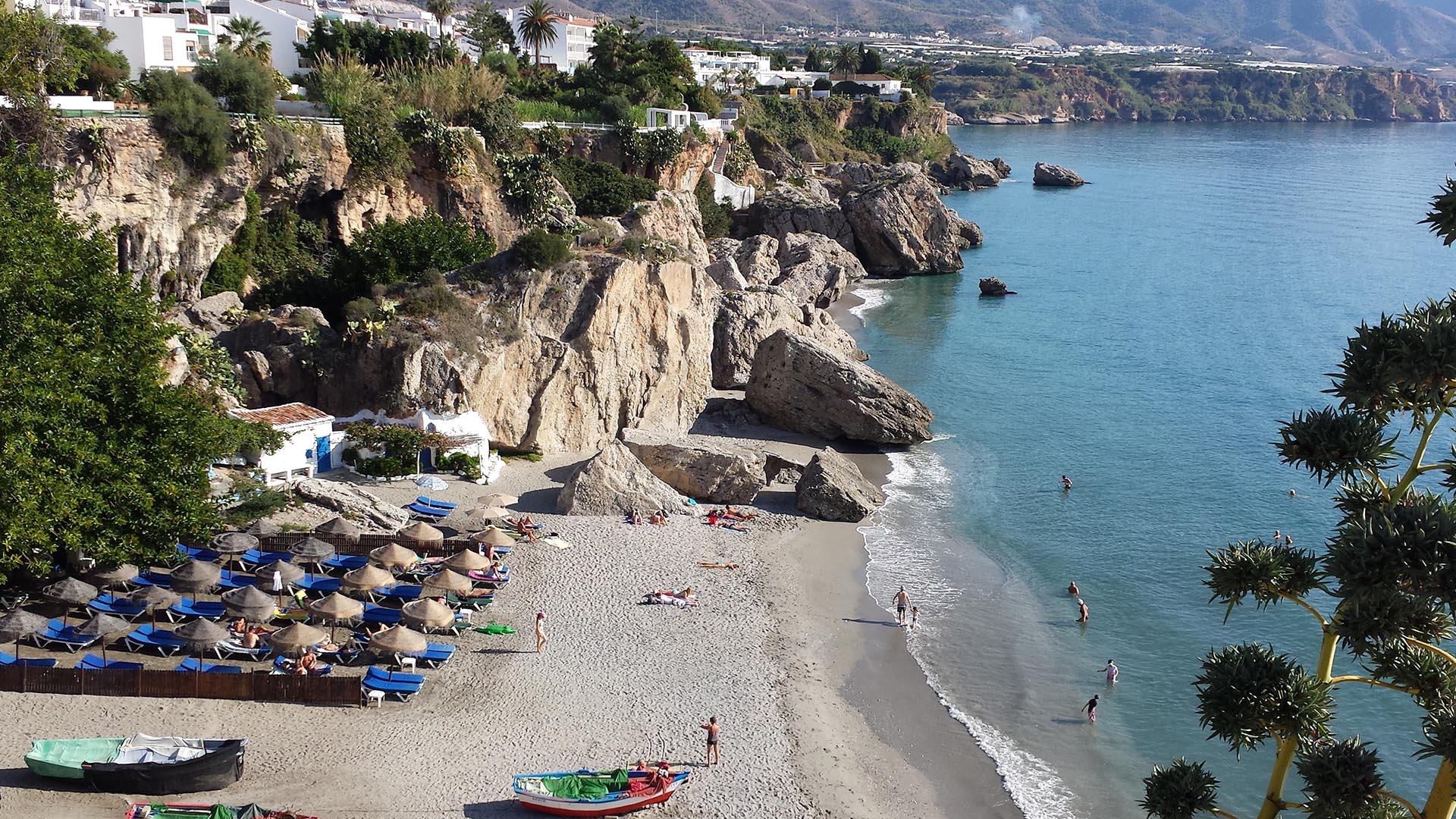
Preparing for a greener and bluer summer 2025
With summer just around the corner, it is this time of the year when many of us get a chance to step back, recharge, and enjoy the outdoors. From ETC-UMA´s side, as we head into the vacation season, we want ...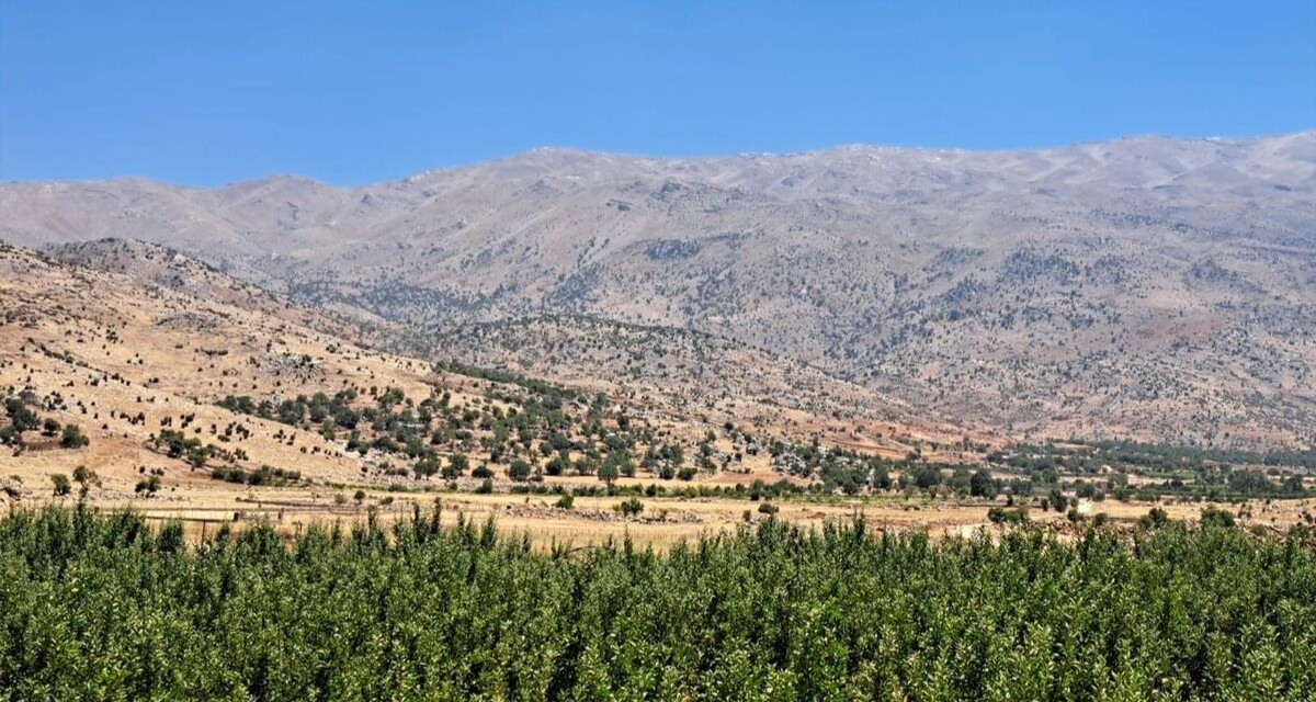
Back in Lebanon with BioConnect: Witnessing nature protection and socioecological resilience in action
As part of ETC-UMA’s role as the external evaluator for the EU-funded BioConnect project, the Centre’s Director, Dania Abdul Malak, carried out a site visit to Lebanon from July 8 to 12 to assess the project’s progress in its third ...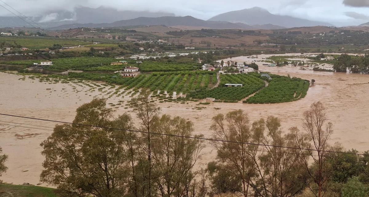
Boosting Climate Resilience: Wetland4Change Project Advances Flood Management Solutions for Mediterranean Coastal Zones
The Mediterranean coastal zone´s combination of multiple severe climate hazards – rising temperatures, water scarcity, sea-level rise, and extreme weather events – makes it a hotspot for highly interconnected climate risks for the ecosystems and societies. Recent catastrophic floods in ...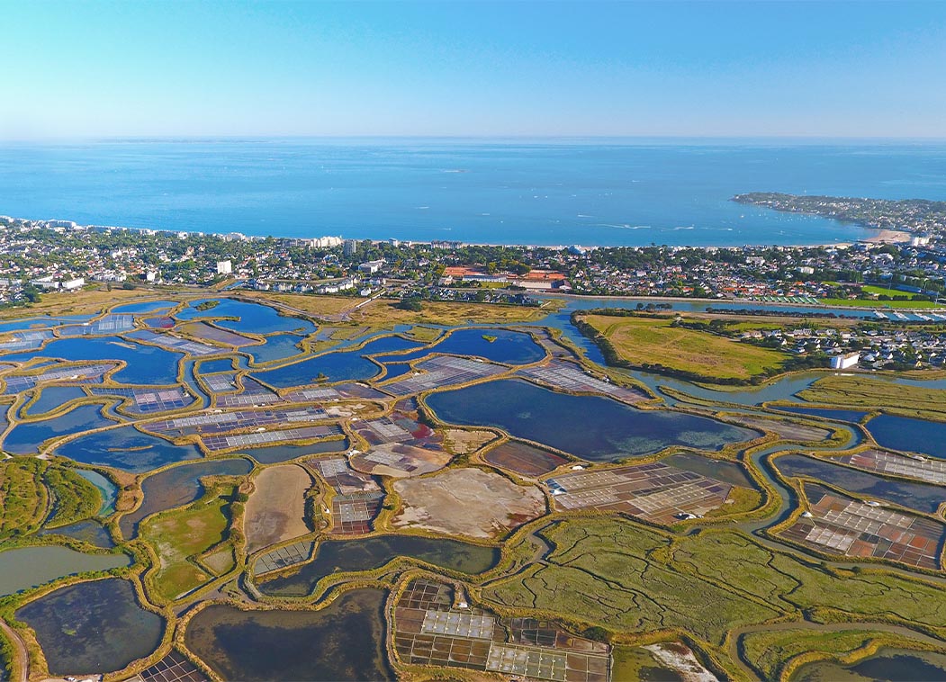
RESTORE4Cs 1st Policy Brief: How can coastal wetlands help achieve EU climate goals?
The first RESTORE4Cs Policy Brief of RESTORE4Cs, “How can coastal wetlands help achieve EU climate goals?“, highlights the importance of European coastal wetlands for reducing Greenhouse Gas emissions. The key messages of the first RESTORE4Cs Policy Brief include: Coastal wetlands are important natural carbon stores, ...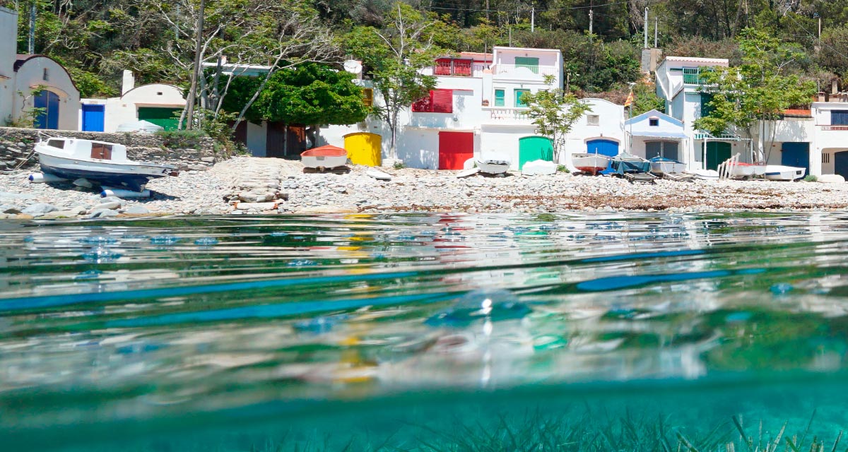
Mapping the Impact of Blue Tourism in the Mediterranean
The IUCN Centre for Mediterranean Cooperation with the support of ETC-UMA in the framework of the Blue Tourism Initiative, has released a comprehensive report entitled “Mapping the Impact of Blue Tourism in the Mediterranean: Vulnerability Assessment of Coastal and Marine ...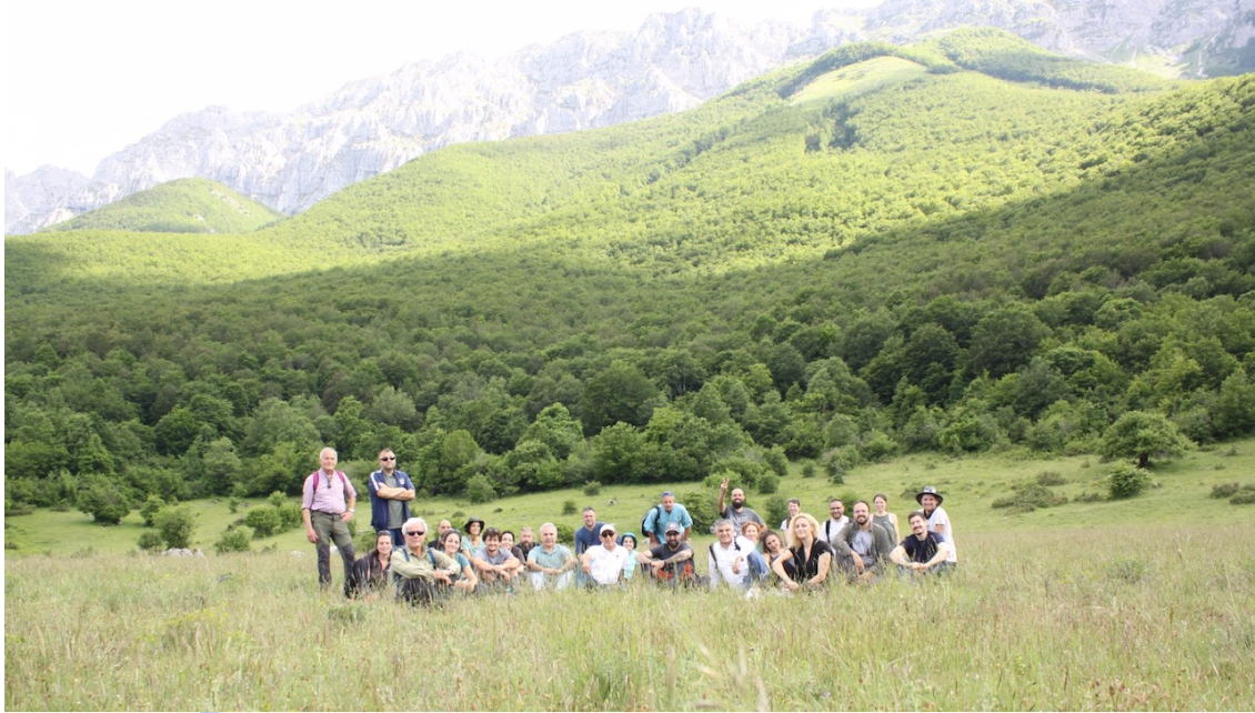
StrategyMedFor Presented at Annual Medforval Meeting 2024
StrategyMedFor was prominently featured at the Annual Medforval Meeting 2024, held from June 5-7 in Fontecchio, Italy. The event brought together 25 practitioners from national parks and natural reserves across 9 Mediterranean countries, providing a valuable platform for StrategyMedFor to ...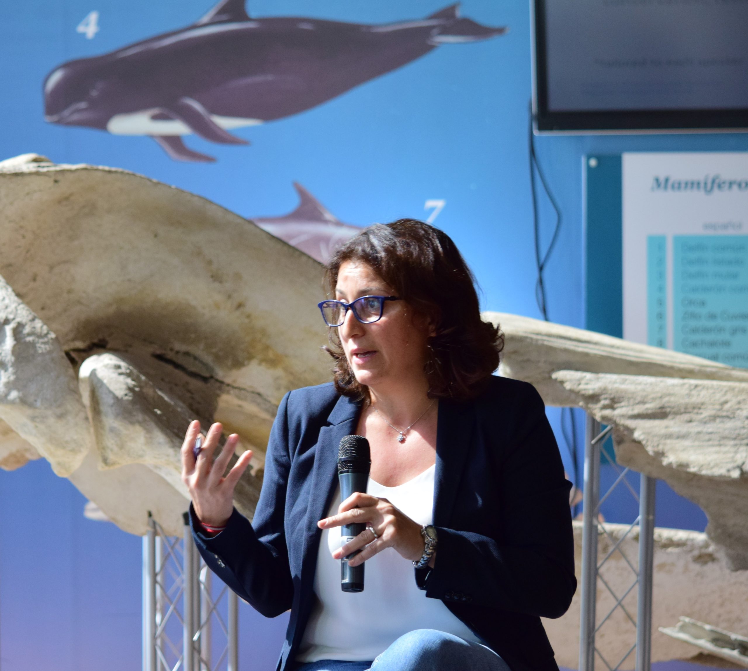
Celebrating leadership in environmental management: an interview with Dania Abdul Malak
From designing integrated ecosystem assessments in Europe and the Mediterranean to transforming outcomes into evidence-based recommendations for regional stakeholders, the European Topic Centre on Spatial Analysis and Synthesis (ETC-UMA) stands as a flagship for territorial cooperation. At the forefront of ...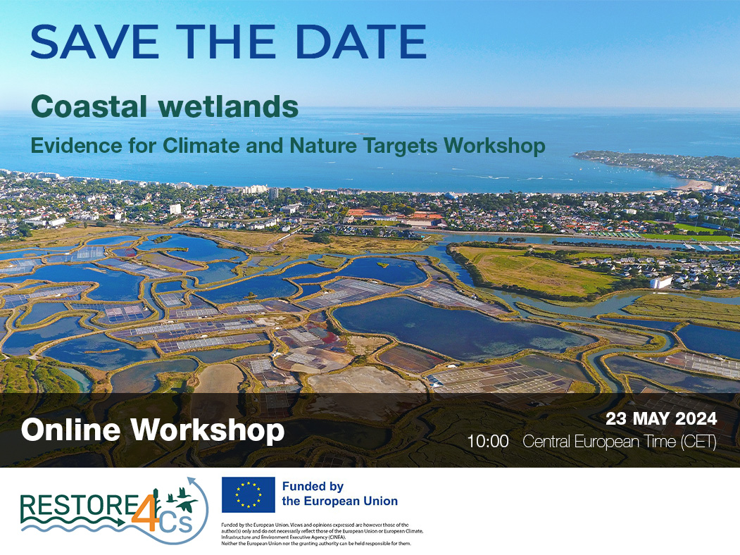
Save the date! Unlocking solutions for coastal conservation in Europe
How can coastal wetlands respond to major European Union objectives such as climate neutrality, biodiversity protection, and pollution reduction? What key role do coastal wetlands play in achieving EU commitments for climate mitigation and biodiversity conservation? The European Topic Centre ...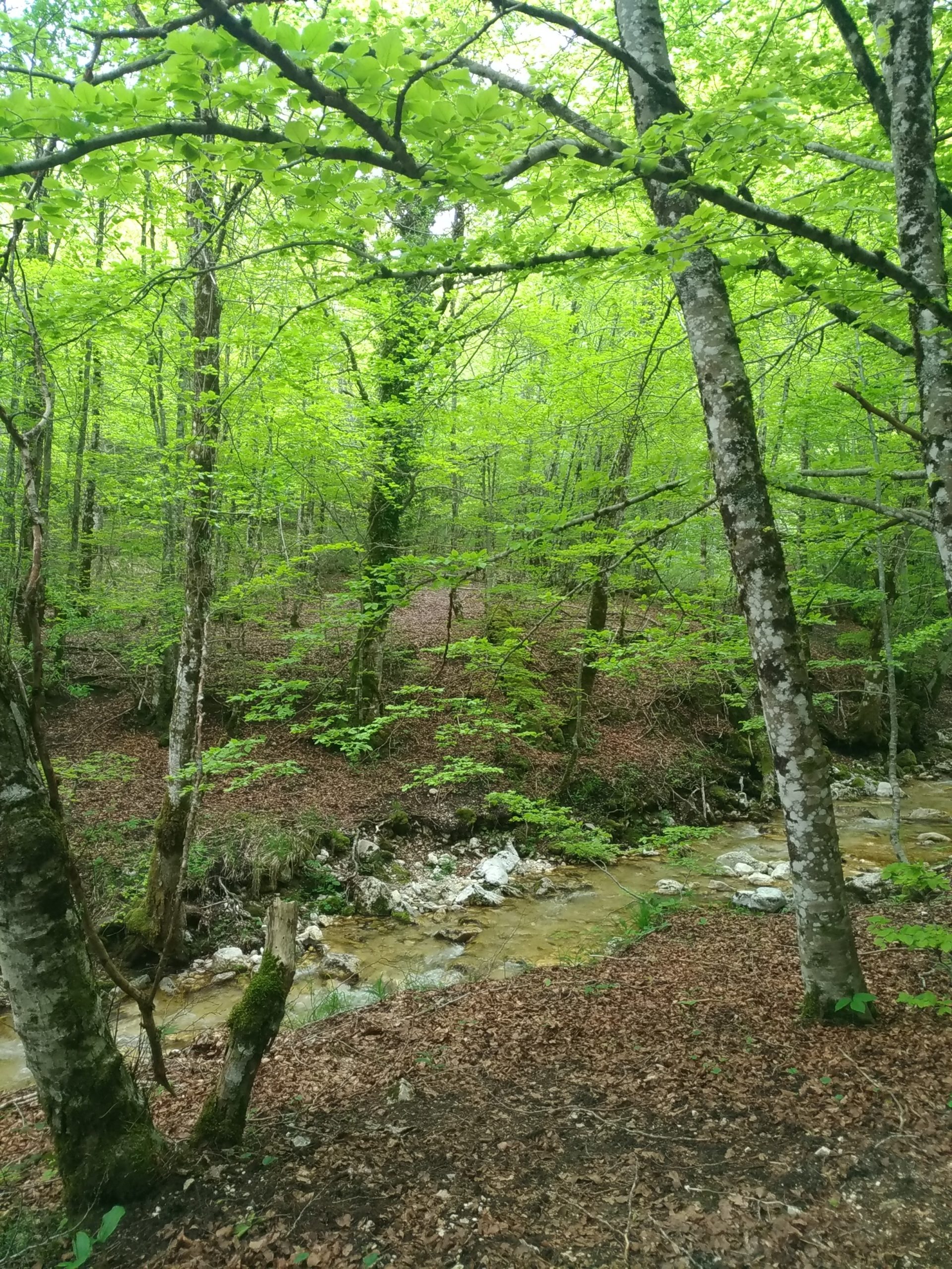
Towards a Strategy for the Sustainable Management of Mediterranean Forests (StrategyMedFor)
The StrategyMedFor project, co-financed by the Interreg Euro-MED programme, was launched at the University of Malaga during a two day meeting that took place on March 18 and 19, 2024. The European Topic Centre on Spatial Analysis and Synthesis (ETC-UMA), ...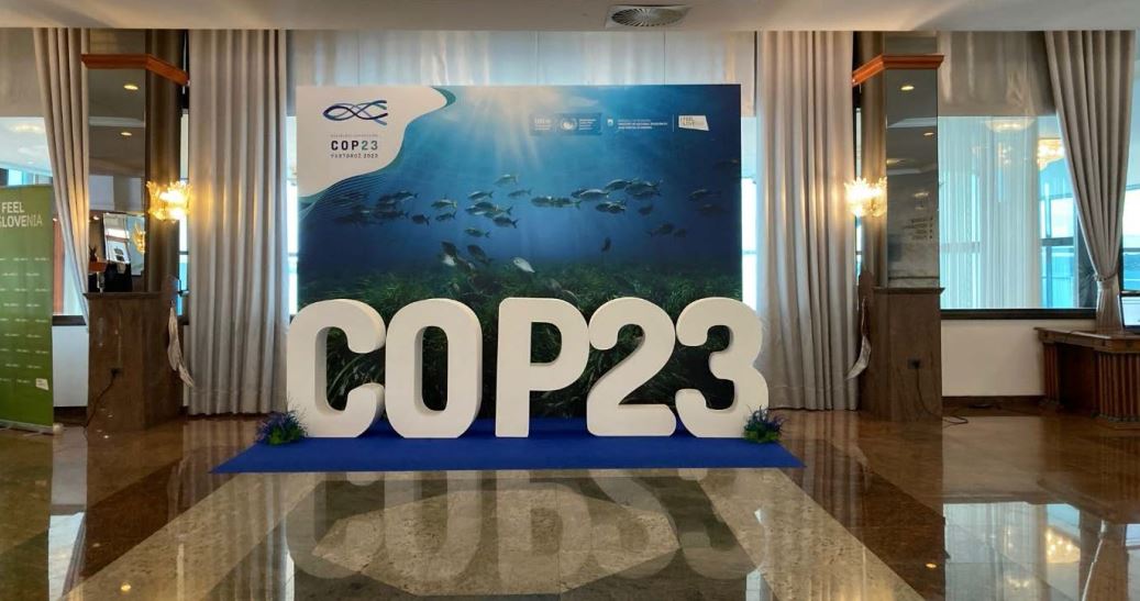
Collaborative science for forests by ETC-UMA showcased in Slovenia during the COP23
As UNEP MAP partner organization, ETC-UMA recently engaged in the organization of a session with Mediterranean institutions under the topic of climate change, entitled: From COASTAL to FOREST ecosystems: Mediterranean Nature-based Solutions to tackle climate change and ensure the Resilience ...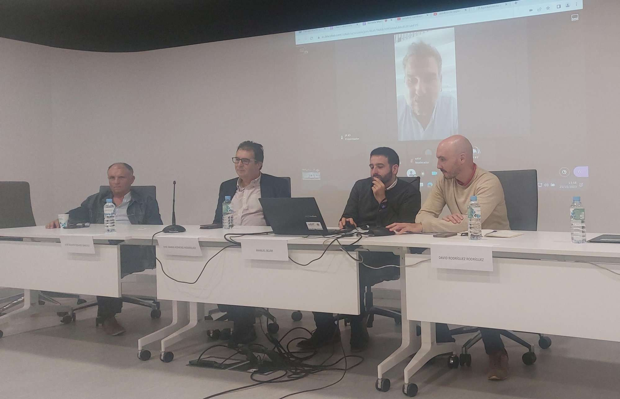
Tools for conserving the Spanish coast
On the initiative of the Instituto Universitario Hábitat Territorio y Digitalización (iHTD) of the University of Malaga, around 70 representatives of Spanish public administrations, researchers, architecture and environmental science players and civil society signed up to the second debate on ...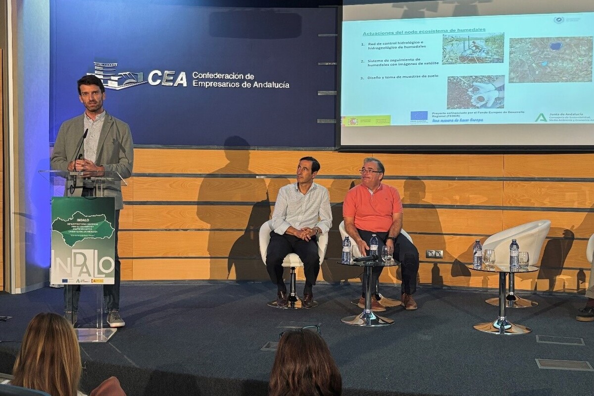
GreenEye System: a cloud-based system to monitor wetlands in Andalusia
Developed in the frame of the LifeWatch INDALO project cofinanced by the European Regional Development Fund (ERDF) for the study of biodiversity and global change in Andalucia, GreenEye System, this new cloud-based monitoring system, provides useful tools for wetlands’ assessment, ...
Looking back and forth to Mediterranean Forests
Timely published to enrich the knowledge available to fight fires and climate change challenges after an extremely hot summer, the proceedings of the Seventh Mediterranean Forest Week “Forest and Ecosystem Restoration for the next Mediterranean Generations” held from 21 to ...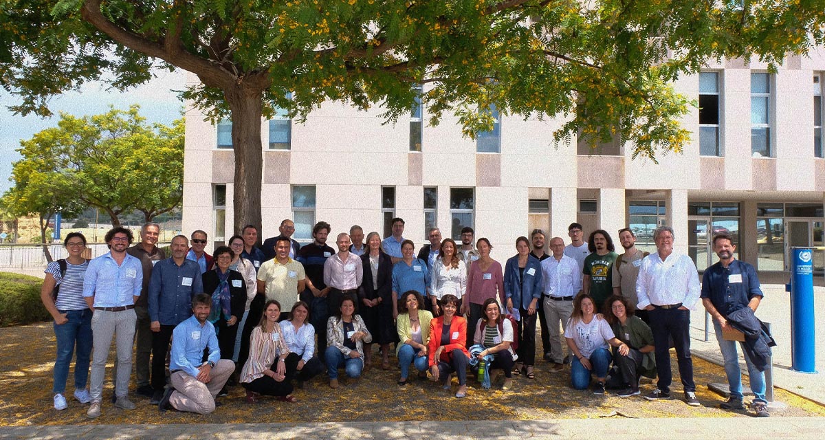
More space for innovative Mediterranean forest data partnerships
The report entitled A knowledge baseline on Mediterranean forests supported by innovation launched in July by ETC-UMA provides a highlight of what Mediterranean countries and institutions are doing to integrate new digital, satellite and Artificial Intelligence technologies into forest monitoring ...