European topic centre - university of malaga
Meet our team members

a_sanchez@uma.es
+34 951 952 905
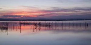
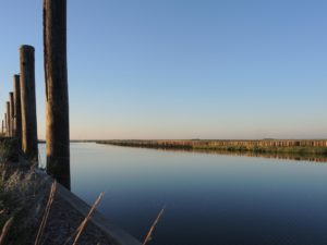
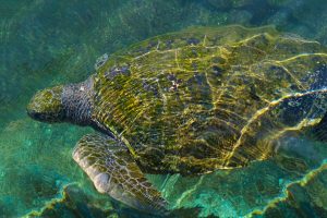
Antonio has developed his career focused on Geographic Information Systems and Remote Sensing tools, especially in the management and processing of data to calculate indicators and generate illustrative maps of environmental problems of all kind. His main area of work has been marine and wetlands related data, where he has produced the analysis of environmental pressures and sea-coast interactions in different sectors such as transport, fishing, tourism and energy among others, as well as the study of environmental data such as populations of marine species and protected areas. In the field of remote sensing, he has developed different products related to wetland ecosystems using Landsat and Sentinel images, such as land use/land cover maps, surface water dynamics, flood regulation and land use/land cover change indicators. He has also participated as a trainer in remote sensing for different wetland user organizations.
Antonio also works as freelance photographer, graphic and web designer for different companies and public institutions. The experience in this field is put into practice in the ETC-UMA, giving greater versatility to the team when it comes to producing dissemination material for both experts and the general public, as well as in the development and maintenance of web pages.
Related projects
Wetland4Change
RESTORE4Cs

PANACEA – MBPC
OECM CASE STUDIES

WWF Mediterranean MPA assessment
WWF EU MPA assessment
RESOURCES
Journal Articles
Land use and land cover mapping in wetlands one step closer to the ground: Sentinel-2 versus Landsat 8 Journal Article
In: Journal of Environmental Management, vol. 247, pp. 484-498, 2019.
Wetland extent tools for SDG 6.6.1 reporting from the Satellite-based Wetland Observation Service (SWOS) Journal Article
In: Remote Sensing of Environment, vol. 247, 2019.
Proceedings
Simposio del Agua en Andalucía (SIAGA), Huelva, 24 a 27 de octubre, 2018.
Technical Reports
Presentations
Póster proyecto SWOS. Simposio del Agua de Andalucía 2015 (SIAGA) Presentation
01.11.2015.
GreenEye System: a cloud-based system to monitor wetlands in Andalusia
Looking back and forth to Mediterranean Forests
More space for innovative Mediterranean forest data partnerships
Job opening at the ETC-UMA: Senior Specialist in Nature Based Solutions for Climate Adaptation