European topic centre - university of malaga
Meet our team members

Emanuele Mancosu
Data manager and GIS specialist
emanuele.mancosu@uma.es
+34 951 952 908
Strong interests and curiosity about environment subjects and informatics technology. The academic career was orientated in natural science finished in 2004 with highest honors with particular attention on geographic information system, where was realized as final work a digital map about different levels of vegetation of a WWF Natural Park, close to Cagliari. A long experience of life in South America and a shorter one in Lapland allows increasing social skills and knowledge of foreign languages as Spanish and English, practice with computer science and computer technician, strong contacts with people and with the nature. In 2007 improve his studies with a master degree in SIG in the Autonomous University of Barcelona (UAB).
This studies allow to increase and to broaden the knowledge about GIS, in specifics, how to create and edit a Map in digital format, how to design, create and maintain a database, how to do spatial analysis, bases of programming with Visual Basic, JavaScript languages, create and manage a Web Server. Moreover a final work with three months practices in UAB to develop a prototype of a Geoportal to store, manage and publish the metadata of the center with the software GeoNetwork opensource.
From February 2009 he is working in the ETC (before in UAB and currently in UMA) covering tasks as jointly responsible for the system administrations’ tasks, responsible for the management of the Reference Data maintaining a inventory and checking the quality of the information on topological and geometrical aspects. Support for GIS tasks and land use scenarios in different ETC/SIA projects. He is also responsible of hardware maintenance in the center.
Related projects
RESOURCES
Journal Articles
Petersen, J. E.; Mancosu, E.; King, S.
Ecosystem extent accounts for Europe Journal Article
In: Ecosystem Services, vol. 57, iss. October 2022, no. 101457, 2022.
Abstract | Links | BibTeX | Tags: Conservation and management, Ecosystem, Ecosystem services, Environmental conservation, Land and soil
@article{Petersen2022,

title = {Ecosystem extent accounts for Europe},

author = {J.E. Petersen and E. Mancosu and S. King},

url = {https://doi.org/10.1016/j.ecoser.2022.101457},

doi = {https://doi.org/10.1016/j.ecoser.2022.101457},

year  = {2022},

date = {2022-07-31},

journal = {Ecosystem Services},

volume = {57},

number = {101457},

issue = {October 2022},

abstract = {This paper describes the set-up and results for ecosystem extent accounts at European level, developed in the context of the United Nations System of Environmental-Economic Accounting - Ecosystem Accounting (SEEA EA). These accounts inform on the opening and closing ‘stocks’ of ecosystems and provide essential geo-spatial data to support the calculation of ecosystem condition and services accounts. The paper presents the first set of ecosystem extent accounts for Europe, covering the period 2000–2018. These show that ecosystems are relatively stable at the European scale, with significant increases in Urban ecosystems and some decrease in Heathland and shrub and Grassland ecosystems. The paper demonstrates the use of a flexible geo-spatial database to gain analytical insights for different ecosystem accounting areas, using European biogeographical regions and Natura 2000 areas as examples. More detailed ecosystem extent accounts (tier II and tier III) show trends inter alia for Agro-forestry, Peat Bog, Beaches, dunes and sands as well as Salt marsh ecosystems, important for biodiversity and ecosystem services. The accounting approach presented delivers a geo-spatial data foundation that can support further ecosystem analysis and accounts. This enables the targeting of ecosystem analysis on specific geographic areas and policy instruments.},

keywords = {Conservation and management, Ecosystem, Ecosystem services, Environmental conservation, Land and soil},

pubstate = {published},

tppubtype = {article}

}
Lehmann, A.; Giuliania, G.; Mancosu, E.; Abbaspour, K. C.; Sözen, S.; Gorgan, D.; Beel, A.; Ray, N.
Filling the gap between Earth observation and policy making in the Black Sea catchment with enviroGRIDS Journal Article
In: Environmental Science & Policy, vol. 46, pp. 1-12, 2015.
Abstract | Links | BibTeX | Tags: Climate Change, Geotechnology, Pressures
@article{Lehmann2015,

title = {Filling the gap between Earth observation and policy making in the Black Sea catchment with enviroGRIDS},

author = {A. Lehmann and G. Giuliania and E. Mancosu and K. C. Abbaspour and S. Sözen and D. Gorgan and A. Beel and N. Ray},

url = {https://www.sciencedirect.com/science/article/pii/S1462901114000525},

doi = {https://doi.org/10.1016/j.envsci.2014.02.005},

year  = {2015},

date = {2015-02-01},

journal = {Environmental Science & Policy},

volume = {46},

pages = {1-12},

abstract = {The environmental status of the Black Sea is obviously closely related to its catchment. Being a closed sea, this large water body drains an area of more than 2 million km2, encompassing 23 countries inhabited by more than 180 million people. The main environmental issues faced by the Black Sea catchment are the same as elsewhere in Europe. These problems are exacerbated by global changes with drastic changes predicted in temperature and precipitation by the end of the century, as well as land use and demographic changes. These environmental problems are taking place in a complex geopolitical situation. In this particular context, data sharing is essential to inform managers and policy-makers about the state of the environment, which will ultimately influence the state of the Black Sea itself. The enviroGRIDS project was set up in order to promote international data sharing initiatives such as the Global Earth Observation System of Systems and the European INSPIRE directive. The enviroGRIDS project was successful in reaching the following objectives: (a) performing a gap analysis on existing Earth observations systems in the region; (b) developing regional capacities at institutional, infrastructure and human resource levels; (c) creating regional scenarios to set the scene for plausible climatic, demographic and land use futures; (d) building the first hydrological model for the entire Black Sea catchment; (e) developing the Black Sea Catchment Observation System based on interoperability standards and Grid computing technologies; (f) showcasing data sharing in several case studies, addressing important environmental issues while building a network of people with improved capacity on data sharing principles. These relative successes should not, however, hide the difficulties in making the necessary Earth observation data available to scientists, decision makers and the public, as the mind-sets at all levels are changing slowly. Controlling the access to data is still perceived by many as a necessity to guarantee the power of the state on society and as a way to preserve its security. The need to develop national spatial data infrastructures (SDI) is very important to convince all ministries and data owner that publically funded data should be made publically available. The progress in the implementation of SDI seems more limited by political agendas than by technology. It is clear, however, that implementation of the INSPIRE directive in Europe is a prerequisite for the success of many other environmental policies (e.g. Water Framework Directive; Marine Strategy Framework Directive; Biodiversity strategy 2020).},

keywords = {Climate Change, Geotechnology, Pressures},

pubstate = {published},

tppubtype = {article}

}
Mancosu, E.; Gago-Silva, A.; Barbosa, A.; de Bono, A.; Ivanov, E.; Lehmann, A.; Fons, J.
Future land-use change scenarios for the Black Sea catchment Journal Article
In: Environmental Science & Policy, vol. 46, pp. 26-36, 2015.
Abstract | Links | BibTeX | Tags: Climate Change, Geotechnology, Land and soil, Pressures
@article{Mancosu2015,

title = {Future land-use change scenarios for the Black Sea catchment},

author = {E. Mancosu and A. Gago-Silva and A. Barbosa and A. de Bono and E. Ivanov and A. Lehmann and J. Fons},

url = {https://www.sciencedirect.com/science/article/pii/S1462901114000550},

doi = {https://doi.org/10.1016/j.envsci.2014.02.008},

year  = {2015},

date = {2015-02-01},

journal = {Environmental Science & Policy},

volume = {46},

pages = {26-36},

abstract = {Plausible future scenarios have been created for the Black Sea catchment, focussing on spatially explicit alternatives for land-use changes. Four qualitative storylines (HOT, ALONE, COOP and COOL) were first developed, based on interpretation of the respective global scenarios (A1, A2, B1 and B2) produced by the Intergovernmental Panel on Climate Change. Quantitative statistical downscaling techniques were then used to disaggregate the outputs of global scenarios at a regional level. The resulting land-use maps were spatially allocated at 1 km resolution in the Metronamica model, using a set of factors related to the identified drivers of change. The land-use change model was calibrated on historical trends of land-cover change (MODIS 2001 and 2008) translated into spatial allocation rules, and future land-use projections (IMAGE, 2001) were adopted. Suitability and constraint maps and population trends were used to regulate the modelling process. The calibrated model was validated by statistical procedures, visual evaluation and stakeholder involvement in order to ensure its plausibility and accuracy. This methodology bridged the gap between the global and regional scales. Four simulated future states were produced for the main land-use classes–forest, grassland, cropland and built-up areas, as well as scrublands, crops/natural vegetation and barren land–for 2025 and 2050. The results suggest that the features highlighted in these scenarios are guided by global trends, such as population rise and decreasing agriculture, but with different growth rates and a variety of spatial patterns, with regional variations resulting from local backgrounds and policy objectives. This study aims to provide future land-use data as a potential geographical tool to assist policy makers in addressing environmental emergencies such as water stress and pollution. In particular, the exploration of plausible futures can support future assessments to comply with the EU Water Framework Directive and Integrated Coastal Zone Management policies around the Black Sea.},

keywords = {Climate Change, Geotechnology, Land and soil, Pressures},

pubstate = {published},

tppubtype = {article}

}
Proceedings
Anaya, M.; Marín, A. I.; Mancosu, E.
Simposio del Agua en Andalucía (SIAGA), Huelva, 24 a 27 de octubre, 2018.
Links | BibTeX | Tags: Groundwater
@proceedings{Anaya2018b,

title = {Aproximación metodológica para la inclusión del estado de la agua subterráneas en el Sistema Integrado para la Contabilidad del capital Natural en Europa: aplicación al caso español},

author = {M. Anaya and A. I. Marín and E. Mancosu},

url = {https://www.etc.uma.es/wp-content/uploads/SIAGA_2018.pdf},

year  = {2018},

date = {2018-06-01},

publisher = {Simposio del Agua en Andalucía (SIAGA), Huelva, 24 a 27 de octubre},

keywords = {Groundwater},

pubstate = {published},

tppubtype = {proceedings}

}
Technical Reports
Gregor, M.; Löhnertz, M.; Milego, R.; Fons, J.; Maucha, G.; Mancosu, E.; Littkopf, A.; Ivits, E.
2021.
Abstract | Links | BibTeX | Tags: Geotechnology
@techreport{nokey,

title = {ETC/ULS Technical Report 01/2021: Time series inconsistency in the Copernicus HRL Imperviousness. Analysis of the 2015-2018 changes, implications and conclusions},

author = {M. Gregor and M. Löhnertz and R. Milego and J. Fons and G. Maucha and E. Mancosu and A. Littkopf and E. Ivits},

url = {https://www.eionet.europa.eu/etcs/etc-di/products/etc-uls-technical-report-01-2021-time-series-inconsistency-in-the-copernicus-hrl-imperviousness-analysis-of-the-2015-2018-changes-implications-and-conclusions},

year  = {2021},

date = {2021-12-14},

abstract = {A land cover (land use) map is always an abstraction, a model of the real earth surface. Features represented in this model are influenced by many factors, including the classification system, scale / level of generalization (e.g., Minimum Mapping Unit or MMU) and other mapping instructions as well as possible database errors. As long as the data model is consistent within a time series, changes and trends derived by pixel- or grid-based approaches (“pixel counting”) may be meaningful, i.e., valid within the same model (e.g., Corine Land Cover or CLC accounting). This is in fact the core idea of “pixel counting” based accounting systems.


Copernicus High Resolution Layers (HRLs) are Earth Observation (EO)-derived and raster-based datasets which provide information about different land cover characteristics. The longest and most complete time-series is available for the HRL Imperviousness products, with the first status layer being available for the reference year 2006, then 2009, 2012, 2015 and 2018. Change information are available for all change periods (both, density change and change classified). Primary 20m resolution (and aggregated 100m resolution) products were harmonized for the 2006-2015 period in a way that imperviousness status and change layers build a consistent time series, where imperviousness density changes are equal to the difference of subsequent imperviousness status layers.


However, the introduction of the increased 10m resolution in case of all primary HRLs in 2018 caused unexpected issues. The great advantage of the increased resolution has led to the appearance of more feature details. On the flipside, this fact has made the new 10m resolution imperviousness product incompatible with the previous time series especially in a statistical sense. Thus, with the introduction of the 10m EO data as basis for the HRL production, the data model of the HRL IMD became inconsistent, i.e., the long time series is broken and we are talking about two time series (2006-2015 with 20m resolution and from 2018 onwards with 10m resolution; there is no way to use and assess changes between 2015 and 2018 at the moment). As a consequence, any assessment and product that is dependent on the time series has to be broken down into two parts. This technical note describes the reasons and implications in more detail and draws some conclusions.},

keywords = {Geotechnology},

pubstate = {published},

tppubtype = {techreport}

}
Copernicus High Resolution Layers (HRLs) are Earth Observation (EO)-derived and raster-based datasets which provide information about different land cover characteristics. The longest and most complete time-series is available for the HRL Imperviousness products, with the first status layer being available for the reference year 2006, then 2009, 2012, 2015 and 2018. Change information are available for all change periods (both, density change and change classified). Primary 20m resolution (and aggregated 100m resolution) products were harmonized for the 2006-2015 period in a way that imperviousness status and change layers build a consistent time series, where imperviousness density changes are equal to the difference of subsequent imperviousness status layers.
However, the introduction of the increased 10m resolution in case of all primary HRLs in 2018 caused unexpected issues. The great advantage of the increased resolution has led to the appearance of more feature details. On the flipside, this fact has made the new 10m resolution imperviousness product incompatible with the previous time series especially in a statistical sense. Thus, with the introduction of the 10m EO data as basis for the HRL production, the data model of the HRL IMD became inconsistent, i.e., the long time series is broken and we are talking about two time series (2006-2015 with 20m resolution and from 2018 onwards with 10m resolution; there is no way to use and assess changes between 2015 and 2018 at the moment). As a consequence, any assessment and product that is dependent on the time series has to be broken down into two parts. This technical note describes the reasons and implications in more detail and draws some conclusions.
Ivits, E.; Milego, R.; Mancosu, E.; Gregor, M.; Petersen, J. E.; Büttner, G.; Löhnertz, M.; Maucha, G.; Petrik, O.; Bastrup-Birk, A.; Tafi, J.; Hazeu, G.
ETC/ULS Report 02/2020: Land and ecosystem accounts for Europe. Towards geospatial environmental accounting Technical Report
2020, ISBN: 978-3-200-07114-8.
Abstract | Links | BibTeX | Tags: Conservation and management, Ecosystem, Ecosystem services, Environmental conservation, Land and soil
@techreport{Ivits2020,

title = {ETC/ULS Report 02/2020: Land and ecosystem accounts for Europe. Towards geospatial environmental accounting},

author = {E. Ivits and R. Milego and E. Mancosu and M. Gregor and J.E. Petersen and G. Büttner and M. Löhnertz and G. Maucha and O. Petrik and A. Bastrup-Birk and J. Tafi and G. Hazeu},

url = {https://www.eionet.europa.eu/etcs/etc-di/products/etc-uls-report-02-2020-land-and-ecosystem-accounts-for-europe-towards-geospatial-environmental-accounting},

isbn = {978-3-200-07114-8},

year  = {2020},

date = {2020-09-30},

urldate = {2020-09-30},

abstract = {Land use and land use change are fundamental for sustainable resource use and the delivery of ecosystem services, including the provision of food, nutrient cycling and climate change mitigation through carbon sequestration. Land resources are part of our shared natural capital and must be well managed to maintain a healthy environment and human well-being. As such, only if land use and its impacts are properly addressed is progress towards sustainable development in Europe possible. Land-use related policies require the development of harmonised datasets, transparent methodologies and easily interpretable statistics. Land accounts fit the bill, describing how land resource stocks change over time.},

keywords = {Conservation and management, Ecosystem, Ecosystem services, Environmental conservation, Land and soil},

pubstate = {published},

tppubtype = {techreport}

}
Mancosu, E.
The enviroGRIDS scenarios Technical Report
EnviroGRIDS 2012.
Abstract | Links | BibTeX | Tags: Climate Change, EnviroGRIDS, Geotechnology
@techreport{Mancosu2012,

title = {The enviroGRIDS scenarios},

author = {E. Mancosu},

url = {http://envirogrids.net/indexe649.html?option=com_jdownloads&Itemid=13&view=view.download&catid=12&cid=137 / http://envirogrids.net/envirogrids_d3.8_scenariosbd3b.pdf?option=com_jdownloads&Itemid=13&view=finish&cid=137&catid=12},

year  = {2012},

date = {2012-04-24},

institution = {EnviroGRIDS},

abstract = {The enviroGRIDS scenarios comprise a number of plausible alternatives (storylines) based on a coherent set of assumptions, key relationships and driving forces, to create a set of quantitative,

internally consistent and spatially explicit scenarios of future demography, climate and land use (LU) covering the entire Black Sea Catchment (BSC).

The aim of this report is to describe the technical specification of the final scenarios, the source data used and the different methodologies applied on each of them. We describe how the different sources were used and integrated in order to obtain the four alternatives storylines (HOT, ALONE, COOP and COOL), for a yearly time series from 2008 to 2050. The method applied to obtain the demographic growth according to the different storyline for the same time series is also described. Furthermore we describe also the results of the spatially explicit scenarios on climate change for the BSC (Task 3.6) of WP3, for a daily precipitation and temperature time series between 2071 and 2100.},

keywords = {Climate Change, EnviroGRIDS, Geotechnology},

pubstate = {published},

tppubtype = {techreport}

}
internally consistent and spatially explicit scenarios of future demography, climate and land use (LU) covering the entire Black Sea Catchment (BSC).
The aim of this report is to describe the technical specification of the final scenarios, the source data used and the different methodologies applied on each of them. We describe how the different sources were used and integrated in order to obtain the four alternatives storylines (HOT, ALONE, COOP and COOL), for a yearly time series from 2008 to 2050. The method applied to obtain the demographic growth according to the different storyline for the same time series is also described. Furthermore we describe also the results of the spatially explicit scenarios on climate change for the BSC (Task 3.6) of WP3, for a daily precipitation and temperature time series between 2071 and 2100.
Barbosa, A.; Mancosu, E.; Gago-Silva, A.; de Bono, A.; Lehmann, A.; Mierla, M.; Hanganu, J.; Littkopf, A.
Proposed land use scenario analysis, model input parameters and allocation rules Technical Report
EnviroGRIDS 2011.
Abstract | Links | BibTeX | Tags: Climate Change, EnviroGRIDS, Geotechnology, Land and soil
@techreport{Barbosa2011,

title = {Proposed land use scenario analysis, model input parameters and allocation rules},

author = {A. Barbosa and E. Mancosu and A. Gago-Silva and A. de Bono and A. Lehmann and M. Mierla and J. Hanganu and A. Littkopf},

url = {http://envirogrids.net/indexa4c5.html?option=com_jdownloads&Itemid=13&view=view.download&catid=12&cid=120 / http://envirogrids.net/envirogrids_d3_7a10b.pdf?option=com_jdownloads&Itemid=13&view=finish&cid=120&catid=12},

year  = {2011},

date = {2011-07-06},

institution = {EnviroGRIDS},

abstract = {The enviroGRIDS scenarios comprise a number of plausible alternatives (storylines) based on a coherent set of assumptions, key relationships and driving forces, to create a set of quantitative, internally consistent and spatially explicit scenarios of future demography, climate and land use covering the entire Black Sea Catchment (BSC).

This report presents the analyses of the land use scenarios, a review of the combined method used to quantify the enviroGRIDS land use demand and the disaggregation of the global scenarios at a regional scale. Global land use demand was obtained from IMAGE 2.2 and disaggregated at regional (NUTS2) level. Afterwards a cellular automaton based land use model was applied to allocate the land use demands at local level. Land use allocation rules were assigned based on the scenario storylines and local decision rules. As a result, four alternative land use scenarios were derived: BS HOT, BS ALONE, BS COOP and BS COOL. The designation of allocation rules introduces local decisions based not only on the scenario storylines and expert knowledge but also on historical land use patterns. The method used can fill the gap between the global and regional scales and consequently translate land use patterns at various spatial levels.},

keywords = {Climate Change, EnviroGRIDS, Geotechnology, Land and soil},

pubstate = {published},

tppubtype = {techreport}

}
This report presents the analyses of the land use scenarios, a review of the combined method used to quantify the enviroGRIDS land use demand and the disaggregation of the global scenarios at a regional scale. Global land use demand was obtained from IMAGE 2.2 and disaggregated at regional (NUTS2) level. Afterwards a cellular automaton based land use model was applied to allocate the land use demands at local level. Land use allocation rules were assigned based on the scenario storylines and local decision rules. As a result, four alternative land use scenarios were derived: BS HOT, BS ALONE, BS COOP and BS COOL. The designation of allocation rules introduces local decisions based not only on the scenario storylines and expert knowledge but also on historical land use patterns. The method used can fill the gap between the global and regional scales and consequently translate land use patterns at various spatial levels.
Barbosa, A.; Ivanov, E.; Mancosu, E.; Hanganu, J.
Land cover model inputs and efficient data model with possibilities to be updated Technical Report
EnviroGRIDS 2010.
Links | BibTeX | Tags: Climate Change, EnviroGRIDS, Geotechnology, Land and soil
@techreport{Barbosa2010,

title = {Land cover model inputs and efficient data model with possibilities to be updated},

author = {A. Barbosa and E. Ivanov and E. Mancosu and J. Hanganu},

editor = {Autonomous University of Barcelona},

url = {http://envirogrids.net/indexae9e.html?option=com_jdownloads&Itemid=13&view=view.download&catid=12&cid=33},

year  = {2010},

date = {2010-03-01},

journal = {enviroGRIDS},

pages = {82},

institution = {EnviroGRIDS},

keywords = {Climate Change, EnviroGRIDS, Geotechnology, Land and soil},

pubstate = {published},

tppubtype = {techreport}

}
Presentations
Mancosu, E.; Abdul-Malak, D.; Sánchez-Espinosa, A.
Regional indicators to support forest ecosystem management in the Carpathian Mountains Presentation
28.09.2016.
Abstract | Links | BibTeX | Tags: Conservation and management, Forest, Geotechnology, Land and soil, Protected areas
@misc{nokey,

title = {Regional indicators to support forest ecosystem management in the Carpathian Mountains},

author = {E. Mancosu and D. Abdul-Malak and A. Sánchez-Espinosa},

url = {https://www.etc.uma.es/wp-content/uploads/Poster_Forum_Carpaticum_2016.pdf},

year  = {2016},

date = {2016-09-28},

journal = {Forum Carpaticum 2016},

abstract = {The Carpathian Mountains are one of the most important forest ecosystems in Europe dueto the high concentration of virgin forests. The "protocol for sustainable forest management", signed by Carpathian convention Parties is formalising the need to preserve the richness and ensure sustainable use of its resources. Our research, in agreement with the Carpathian Convention Secretariat and the Environmental European Agency (EEA) is supporting this protocol with the identification and harmonization of dataset from multiple sources including Earth Observation, to combine and provide spatial indicators to support monitoring and management of forest far the Carpathians Environment Outlook (KEO) area.},

keywords = {Conservation and management, Forest, Geotechnology, Land and soil, Protected areas},

pubstate = {published},

tppubtype = {presentation}

}
Mancosu, E.
Land Use Change Scenarios for Black Sea Catchment. 4th Bi-annual Black Sea Scientific Conference. Presentation
01.03.2013.
Links | BibTeX | Tags: Climate Change, EnviroGRIDS, Geotechnology, Land and soil
@misc{Mancosu2013,

title = {Land Use Change Scenarios for Black Sea Catchment. 4th Bi-annual Black Sea Scientific Conference.},

author = {E. Mancosu},

url = {/wp-content/uploads/publications/Poster_4BSScientificConference_BS-GES_E_Mancosu.pdf},

year  = {2013},

date = {2013-03-01},

keywords = {Climate Change, EnviroGRIDS, Geotechnology, Land and soil},

pubstate = {published},

tppubtype = {presentation}

}
Mancosu, E.; de Bono, A.; Gago-Silva, A.
Setting the scene for the future of the Black Sea catchmen Presentation
01.03.2013.
Links | BibTeX | Tags: Climate Change, EnviroGRIDS, Geotechnology
@misc{Mancosu2013b,

title = {Setting the scene for the future of the Black Sea catchmen},

author = {E. Mancosu and A. de Bono and A. Gago-Silva},

url = {/wp-content/uploads/publications/Presentation_WP3_Mancosu_UMA_22032013.pdf},

year  = {2013},

date = {2013-03-01},

keywords = {Climate Change, EnviroGRIDS, Geotechnology},

pubstate = {published},

tppubtype = {presentation}

}
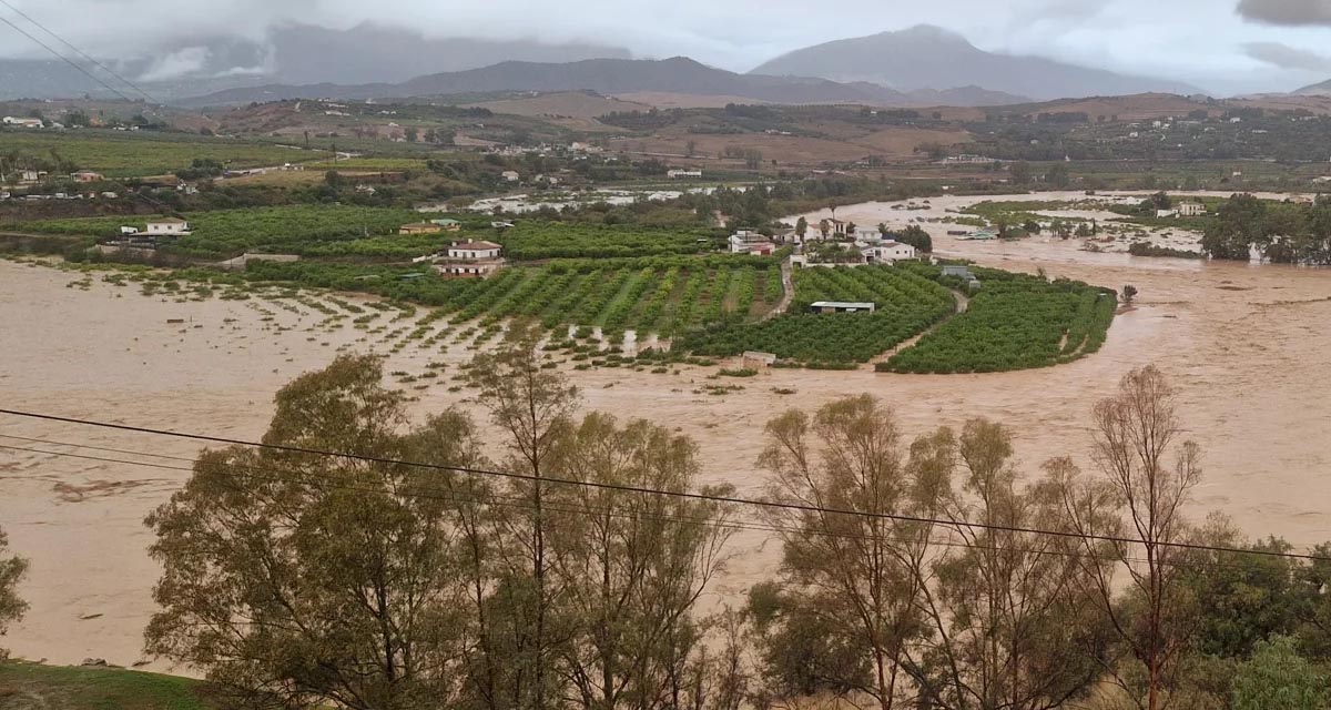
Boosting Climate Resilience: Wetland4Change Project Advances Flood Management Solutions for Mediterranean Coastal Zones
The Mediterranean coastal zone´s combination of multiple severe climate hazards – rising temperatures, water scarcity, sea-level rise, and extreme weather events – makes it a hotspot for highly interconnected climate risks for the ecosystems and societies. Recent catastrophic floods in ...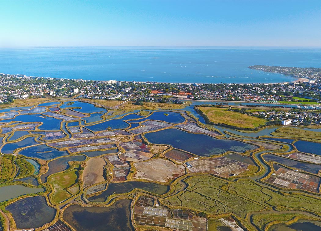
RESTORE4Cs 1st Policy Brief: How can coastal wetlands help achieve EU climate goals?
The first RESTORE4Cs Policy Brief of RESTORE4Cs, “How can coastal wetlands help achieve EU climate goals?“, highlights the importance of European coastal wetlands for reducing Greenhouse Gas emissions. The key messages of the first RESTORE4Cs Policy Brief include: Coastal wetlands are important natural carbon stores, ...
Mapping the Impact of Blue Tourism in the Mediterranean
The IUCN Centre for Mediterranean Cooperation with the support of ETC-UMA in the framework of the Blue Tourism Initiative, has released a comprehensive report entitled “Mapping the Impact of Blue Tourism in the Mediterranean: Vulnerability Assessment of Coastal and Marine ...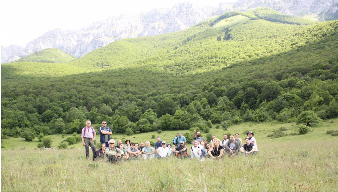
StrategyMedFor Presented at Annual Medforval Meeting 2024
StrategyMedFor was prominently featured at the Annual Medforval Meeting 2024, held from June 5-7 in Fontecchio, Italy. The event brought together 25 practitioners from national parks and natural reserves across 9 Mediterranean countries, providing a valuable platform for StrategyMedFor to ...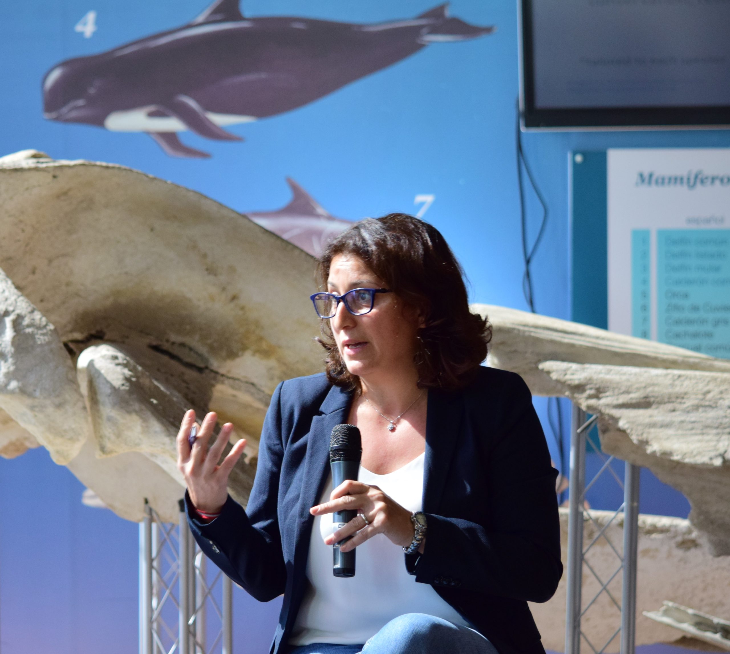
Celebrating leadership in environmental management: an interview with Dania Abdul Malak
From designing integrated ecosystem assessments in Europe and the Mediterranean to transforming outcomes into evidence-based recommendations for regional stakeholders, the European Topic Centre on Spatial Analysis and Synthesis (ETC-UMA) stands as a flagship for territorial cooperation. At the forefront of ...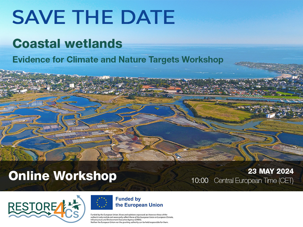
Save the date! Unlocking solutions for coastal conservation in Europe
How can coastal wetlands respond to major European Union objectives such as climate neutrality, biodiversity protection, and pollution reduction? What key role do coastal wetlands play in achieving EU commitments for climate mitigation and biodiversity conservation? The European Topic Centre ...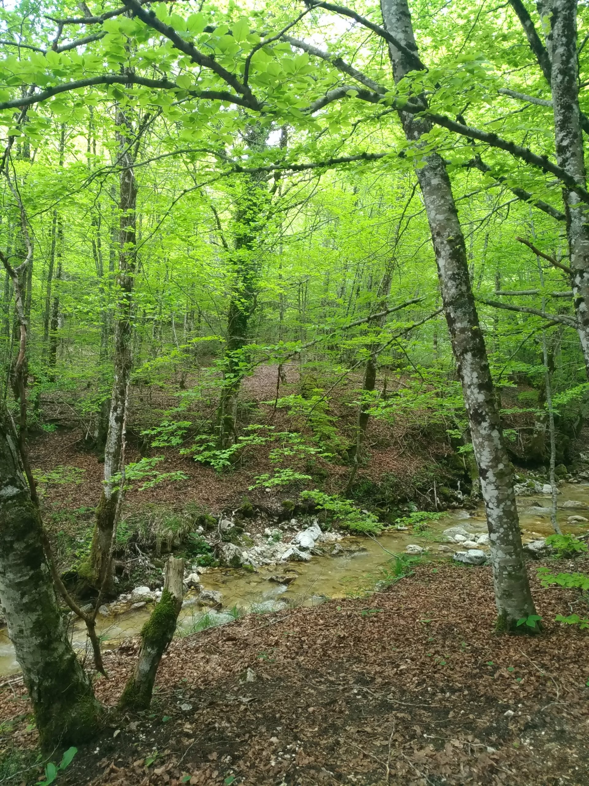
Towards a Strategy for the Sustainable Management of Mediterranean Forests (StrategyMedFor)
The StrategyMedFor project, co-financed by the Interreg Euro-MED programme, was launched at the University of Malaga during a two day meeting that took place on March 18 and 19, 2024. The European Topic Centre on Spatial Analysis and Synthesis (ETC-UMA), ...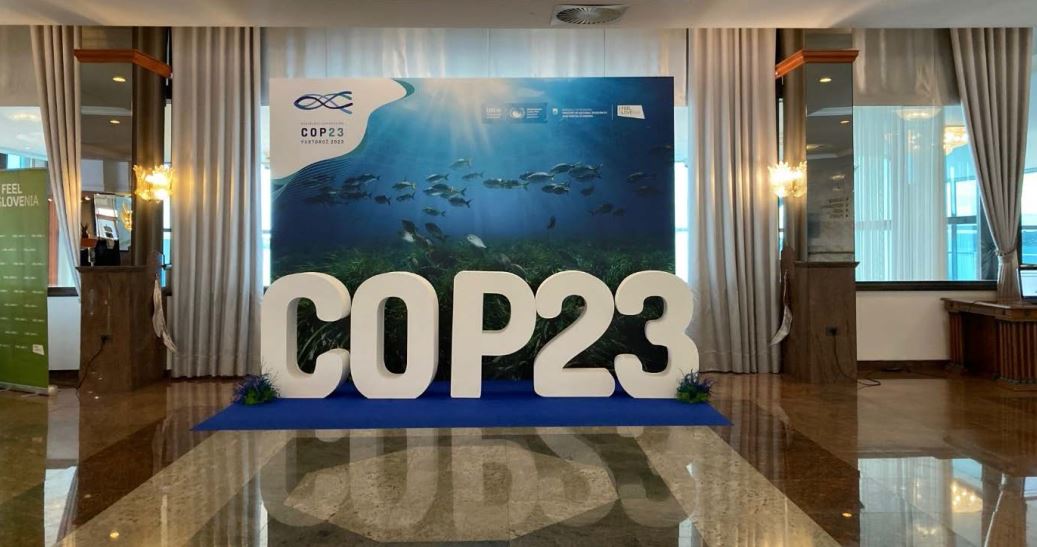
Collaborative science for forests by ETC-UMA showcased in Slovenia during the COP23
As UNEP MAP partner organization, ETC-UMA recently engaged in the organization of a session with Mediterranean institutions under the topic of climate change, entitled: From COASTAL to FOREST ecosystems: Mediterranean Nature-based Solutions to tackle climate change and ensure the Resilience ...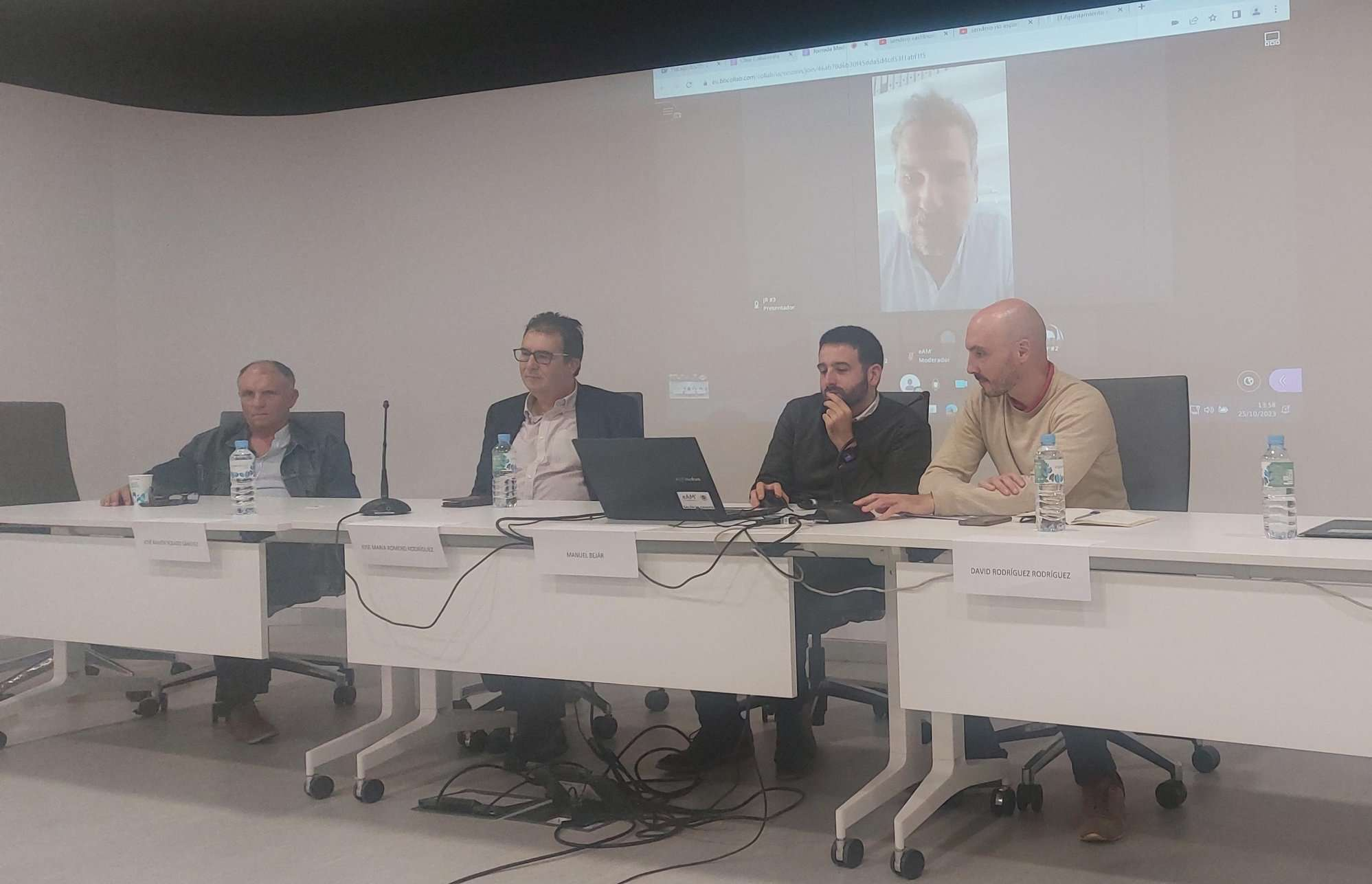
Tools for conserving the Spanish coast
On the initiative of the Instituto Universitario Hábitat Territorio y Digitalización (iHTD) of the University of Malaga, around 70 representatives of Spanish public administrations, researchers, architecture and environmental science players and civil society signed up to the second debate on ...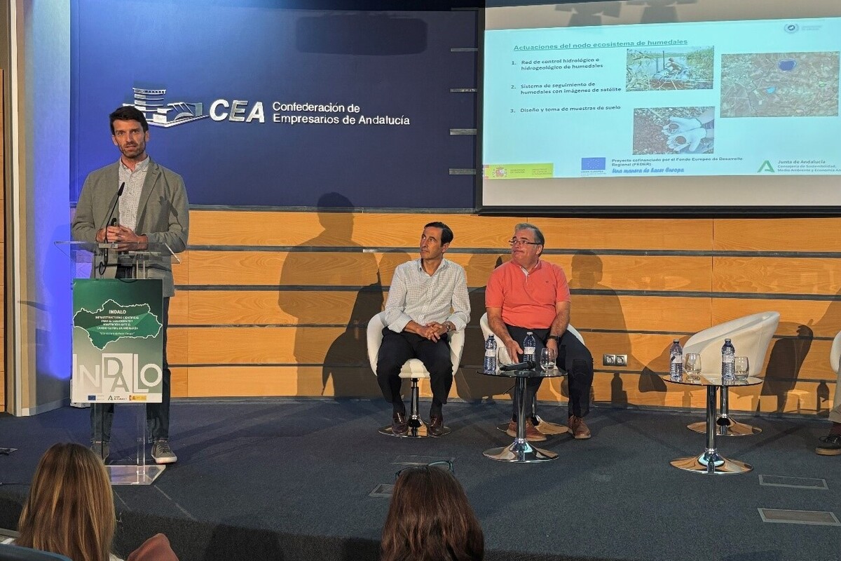
GreenEye System: a cloud-based system to monitor wetlands in Andalusia
Developed in the frame of the LifeWatch INDALO project cofinanced by the European Regional Development Fund (ERDF) for the study of biodiversity and global change in Andalucia, GreenEye System, this new cloud-based monitoring system, provides useful tools for wetlands’ assessment, ...
Looking back and forth to Mediterranean Forests
Timely published to enrich the knowledge available to fight fires and climate change challenges after an extremely hot summer, the proceedings of the Seventh Mediterranean Forest Week “Forest and Ecosystem Restoration for the next Mediterranean Generations” held from 21 to ...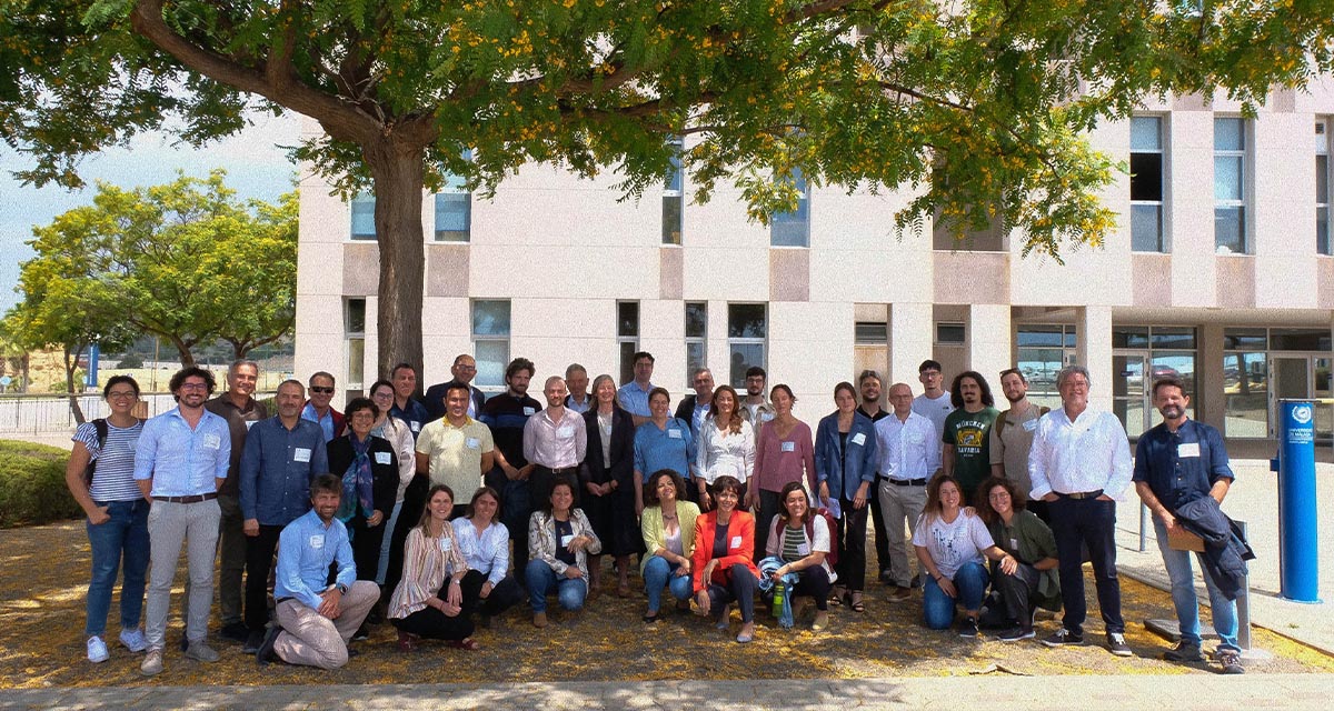
More space for innovative Mediterranean forest data partnerships
The report entitled A knowledge baseline on Mediterranean forests supported by innovation launched in July by ETC-UMA provides a highlight of what Mediterranean countries and institutions are doing to integrate new digital, satellite and Artificial Intelligence technologies into forest monitoring ...
The Earth from Space shown by ETC-UMA at FANTEC 2023
Students from 80 centers from all over Andalusia came together on Friday 19 May 2023 at the High School of Industrial Engineering of the University of Malaga to participate, one more year, in the Andalusian Technology Fair 2023. Antonio Sanchez ...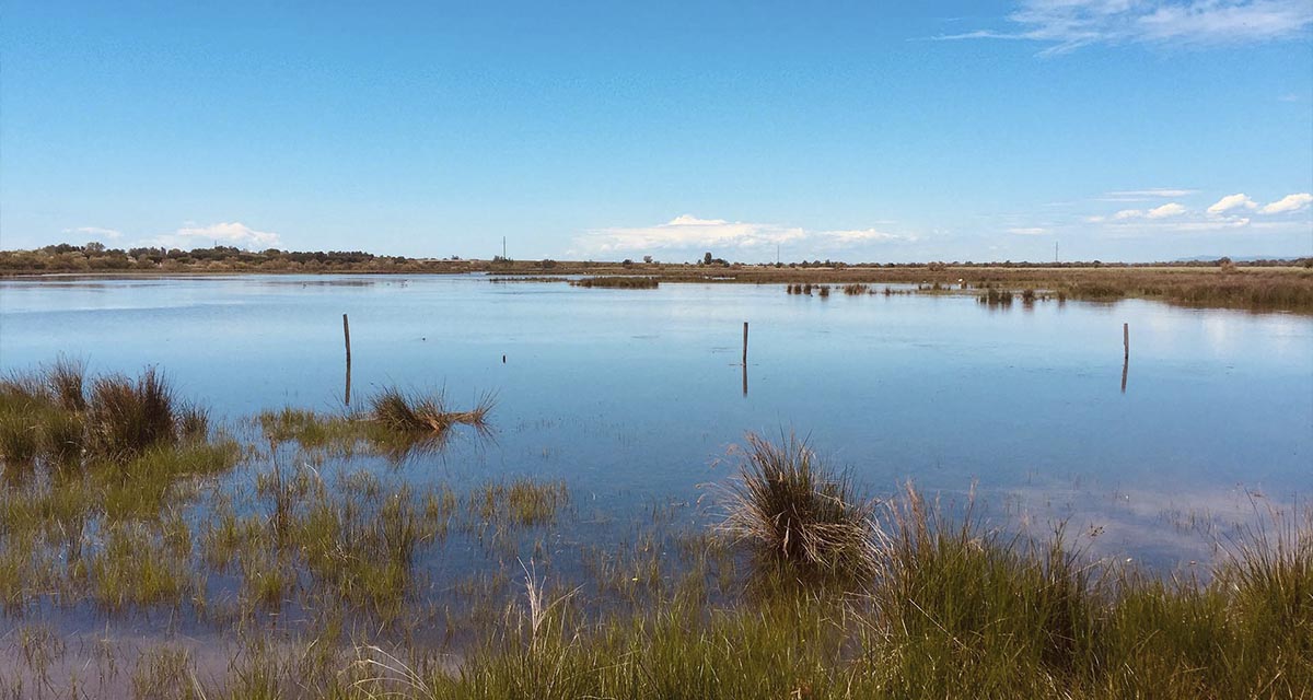
ETC-UMA launches new technologies applied to ecosystem knowledge
Built on the Google Earth Engine cloud computing platform, the new wetland monitoring system based on remote sensing data, developed by ETC-UMA and presented in April 2023 at the National Centre for Environmental Education (CENEAM by its acronym in Spanish) ...