European topic centre - university of malaga
Meet our team members

christoph.schroder@uma.es
+34 951 952 906
Based on my MSc in Geography (University of Bonn) I have developed expertise in Geographic Information Systems and land use/cover change analysis from local to global scale with particular interest in the Mediterranean. Over the last few years, I have developed a strong involvement in science-policy interfaces on the European level, trying to find smart ways to solve important environmental issues relevant to policy-makers.
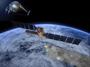
The main focus of my activities at ETC-UMA is on data integration and thematic assessment on European scale for a wide range of topics from sustainable tourism to nutrient inputs on agro-ecosystems. This data-driven work is supporting the European Environment Agency in their policy monitoring and formulation. I have also applied my GIS expertise on a variety of projects dealing with terrestrial and marine ecosystems (Med-IAMER) and territorial development (ESPON ESaTDOR). In recent year, I have gained a profound expertise in the assessment of user requirements for Earth Observation products, particularly addressing habitat and wetland monitoring.
Since 2014, I am local contact point for the Erasmus Mundus project gSmart, facilitating the selection and support to students and researchers from Central Asian partner universities.
Do not hesitate to get in touch with me via e-mail or LinkedIn.
Related projects
RESOURCES
Proceedings
Simposio del Agua en Andalucía (SIAGA), Huelva, 24 a 27 de octubre, 2018.
ETC-UMA launches new technologies applied to ecosystem knowledge


