European topic centre - university of malaga
Meet our team members
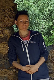
Barbara Bauer
Research Support Officer
barbara.bauer@uma.es
--- --- ---
Barbara Bauer is an experienced ecologist with over a decade of expertise in aquatic ecology, biodiversity conservation, and environmental management. Holding a PhD in Aquatic Ecology from the University of Potsdam, she has developed a strong foundation in analysing the impacts of climate change on spatial and temporal biodiversity patterns.
Barbara is leveraging data analysis and stakeholder collaboration to inform decision-making in marine ecosystem management. Currently, as a Research Officer at ETC-UMA, she is mainly working on projects on related to monitoring the effectiveness of biodiversity management under different figures of conservation, in addition to analysing mobile species distributions and the pressures exerted on them.
Barbara’s skills include geo-analytics, ecosystem modeling, and tailored communication to scientific, policy, and public audiences. She has contributed to over 20 peer-reviewed publications.
Related projects
RESOURCES
Book Chapters
Rodríguez-Rodríguez, D.; Sánchez-Espinosa, A.; Prem, M.; Abdul-Malak, D.; Schröder, C.
In: Chapter 9, pp. 173-186, Tirant Editorial, 1, 2024, ISBN: 978-84-1183-238-0.
Abstract | Links | BibTeX | Tags: Conservation and management, Land and soil, Mediterranean sea, Pressures, Transboundary management
@inbook{nokey,

title = {Mediterranean landscape in trasition. Nuevos enfoques para hacer frente a los nuevos retos sociales y medioambientales.},

author = {D. Rodríguez-Rodríguez and A. Sánchez-Espinosa and M. Prem and D. Abdul-Malak and C. Schröder},

url = {https://editorial.tirant.com/es/libro/mediterranean-landscape-in-trasition-nuevos-enfoques-para-hacer-frente-a-los-nuevos-retos-sociales-y-medioambientales-maria-jose-marquez-ballesteros-9788411832380?busqueda=mediterranean+landscape+in+transition&},

isbn = { 978-84-1183-238-0},

year  = {2024},

date = {2024-06-05},

urldate = {2024-06-05},

pages = {173-186},

publisher = {Tirant Editorial},

edition = {1},

chapter = {9},

abstract = {El litoral mediterráneo se enfrenta a un futuro con importantes retos y desafíos como consecuencia de su fuerte urbanización y el impacto del cambio climático. Con esta premisa, la red internacional de investigadores Mediterránean Landscape in Transition presenta esta publicación que recoge sus principales reflexiones para hacer frente a esta realidad. La intersección de las diferentes aportaciones nos muestra la complejidad y la urgencia de la situación a la que se enfrentan los paisajes mediterráneos y sus costas; donde la evaluación y medición de las dinámicas de transformación del litoral, en el contexto del cambio climático y la resiliencia, son fundamentales para comprender y conservar estos valiosos ecosistemas.


El lector conocerá las vulnerabilidades que amenazan su conservación que afecta tanto a la biodiversidad como a sus comunidades locales, subrayando la necesidad de adaptación y resiliencia para su supervivencia. También se aborda el problema del turismo masivo y la turistificación, proponiendo estrategias para equilibrar la actividad turística con la preservación ambiental y cultural. Todo ello, en un contexto donde los movimientos sociales y territoriales desempeñan un papel relevante en su defensa; y donde el paisaje social se convierte en una tarea crucial para garantizar la sostenibilidad y el bienestar de las comunidades y la naturaleza, en estos entornos costeros tan especiales.},

keywords = {Conservation and management, Land and soil, Mediterranean sea, Pressures, Transboundary management},

pubstate = {published},

tppubtype = {inbook}

}
El lector conocerá las vulnerabilidades que amenazan su conservación que afecta tanto a la biodiversidad como a sus comunidades locales, subrayando la necesidad de adaptación y resiliencia para su supervivencia. También se aborda el problema del turismo masivo y la turistificación, proponiendo estrategias para equilibrar la actividad turística con la preservación ambiental y cultural. Todo ello, en un contexto donde los movimientos sociales y territoriales desempeñan un papel relevante en su defensa; y donde el paisaje social se convierte en una tarea crucial para garantizar la sostenibilidad y el bienestar de las comunidades y la naturaleza, en estos entornos costeros tan especiales.
Journal Articles
Sánchez-Espinosa, A.; Schröder, C.
Land use and land cover mapping in wetlands one step closer to the ground: Sentinel-2 versus Landsat 8 Journal Article
In: Journal of Environmental Management, vol. 247, pp. 484-498, 2019.
Abstract | Links | BibTeX | Tags: Geotechnology, Land and soil, SWOS, Wetlands
@article{Sánchez-Espinosa2019b,

title = {Land use and land cover mapping in wetlands one step closer to the ground: Sentinel-2 versus Landsat 8},

author = {A. Sánchez-Espinosa and C. Schröder},

url = {https://www.sciencedirect.com/science/article/pii/S0301479719308850},

doi = {10.1016/j.jenvman.2019.06.084},

year  = {2019},

date = {2019-10-01},

journal = {Journal of Environmental Management},

volume = {247},

pages = {484-498},

abstract = {Environmental studies with Landsat images have revealed many of the problems faced by wetland ecosystem, which are crucial for the conservation of biodiversity and the natural values of our planet. The study of LULC changes in wetlands through remote sensing constantly helps to identify and combat their main environmental threats improving the conservation of these natural habitats. Starting in mid-2015, the Sentinel-2 satellite opens new possibilities in the field of earth observation thanks to its higher spatial, spectral and temporal resolution becoming a powerful source of information for LULC monitoring in wetland areas. However, researchers may ask them selves to what extent Sentinel-2 is an improvement over Landsat 8 for general purposes. This research test if there is a real difference in the quality of the results delivered by both Sentinel-2 and Landsat 8 imagery when basic classification methods are applied.


The study uses Sentinel-2 and Landsat 8 imagery to produce LULC maps in a Mediterranean wetland area applying an object based classification method in order to compare the accuracy and reliability in the surface detected by both satellites. The results show that an object based classification using only the Sentinel-2 and Landsat 8 image information, without band indexes or ancillary data, offers very similar results for most LULC classes, being the overall accuracy around 87–88% with slightly better results when using Sentinel-2. Although using Sentinel-2 leads to an increase in file size and processing times, the analysis of certain LULC classes presents an improvement compared to Landsat 8, detecting more linear and small size elements with a better delineation of image features in the classified map. However, these improvements should not underestimate the value of Landsat imagery in the future since both satellites provide high precision information, so they can and should coexist and be used together to increase data availability in order to have the best possible results in remote sensing research.},

keywords = {Geotechnology, Land and soil, SWOS, Wetlands},

pubstate = {published},

tppubtype = {article}

}
The study uses Sentinel-2 and Landsat 8 imagery to produce LULC maps in a Mediterranean wetland area applying an object based classification method in order to compare the accuracy and reliability in the surface detected by both satellites. The results show that an object based classification using only the Sentinel-2 and Landsat 8 image information, without band indexes or ancillary data, offers very similar results for most LULC classes, being the overall accuracy around 87–88% with slightly better results when using Sentinel-2. Although using Sentinel-2 leads to an increase in file size and processing times, the analysis of certain LULC classes presents an improvement compared to Landsat 8, detecting more linear and small size elements with a better delineation of image features in the classified map. However, these improvements should not underestimate the value of Landsat imagery in the future since both satellites provide high precision information, so they can and should coexist and be used together to increase data availability in order to have the best possible results in remote sensing research.
Presentations
Mancosu, E.; Abdul-Malak, D.; Sánchez-Espinosa, A.
Regional indicators to support forest ecosystem management in the Carpathian Mountains Presentation
28.09.2016.
Abstract | Links | BibTeX | Tags: Conservation and management, Forest, Geotechnology, Land and soil, Protected areas
@misc{nokey,

title = {Regional indicators to support forest ecosystem management in the Carpathian Mountains},

author = {E. Mancosu and D. Abdul-Malak and A. Sánchez-Espinosa},

url = {https://www.etc.uma.es/wp-content/uploads/Poster_Forum_Carpaticum_2016.pdf},

year  = {2016},

date = {2016-09-28},

journal = {Forum Carpaticum 2016},

abstract = {The Carpathian Mountains are one of the most important forest ecosystems in Europe dueto the high concentration of virgin forests. The "protocol for sustainable forest management", signed by Carpathian convention Parties is formalising the need to preserve the richness and ensure sustainable use of its resources. Our research, in agreement with the Carpathian Convention Secretariat and the Environmental European Agency (EEA) is supporting this protocol with the identification and harmonization of dataset from multiple sources including Earth Observation, to combine and provide spatial indicators to support monitoring and management of forest far the Carpathians Environment Outlook (KEO) area.},

keywords = {Conservation and management, Forest, Geotechnology, Land and soil, Protected areas},

pubstate = {published},

tppubtype = {presentation}

}
Sánchez-Espinosa, A.; Abdul-Malak, D.; Schröder, C.; Martínez-Murillo, J. F.
01.01.2016.
Links | BibTeX | Tags: Ecosystem, Geotechnology, Land and soil, SWOS, Wetlands
@misc{Sánchez-Espinosa2016b,

title = {Determination of wetland ecosystem boundaries and validation of habitat classifications using remote sensing: Fuente de Piedra (Spain).},

author = {A. Sánchez-Espinosa and D. Abdul-Malak and C. Schröder and J. F. Martínez-Murillo},

url = {/wp-content/uploads/publications/SWOS_EGU2016.pdf},

year  = {2016},

date = {2016-01-01},

keywords = {Ecosystem, Geotechnology, Land and soil, SWOS, Wetlands},

pubstate = {published},

tppubtype = {presentation}

}
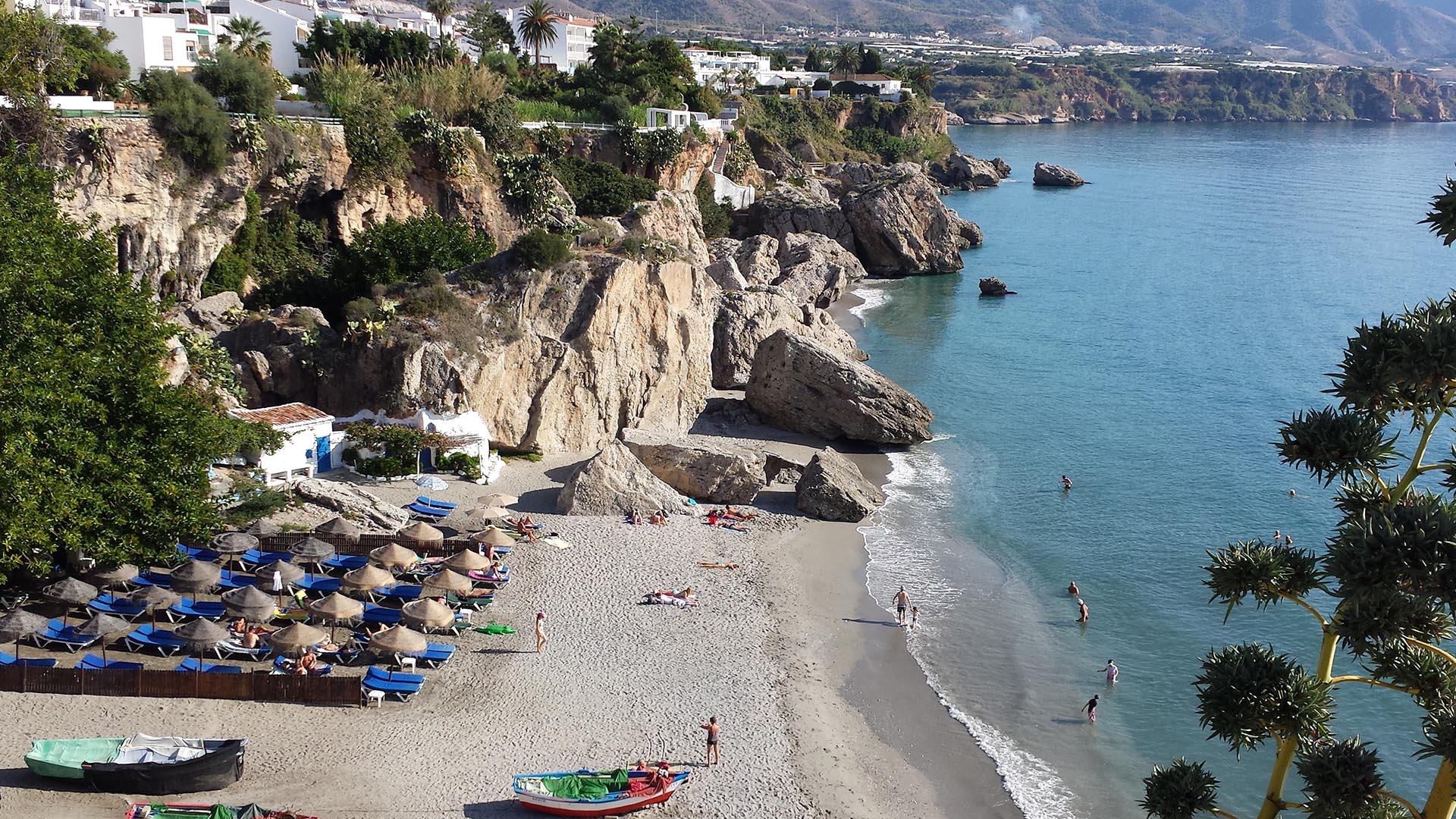
Preparing for a greener and bluer summer 2025
With summer just around the corner, it is this time of the year when many of us get a chance to step back, recharge, and enjoy the outdoors. From ETC-UMA´s side, as we head into the vacation season, we want ...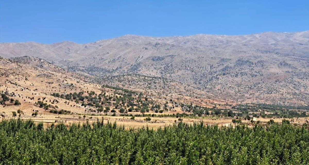
Back in Lebanon with BioConnect: Witnessing nature protection and socioecological resilience in action
As part of ETC-UMA’s role as the external evaluator for the EU-funded BioConnect project, the Centre’s Director, Dania Abdul Malak, carried out a site visit to Lebanon from July 8 to 12 to assess the project’s progress in its third ...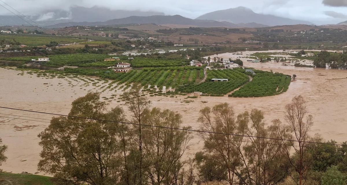
Boosting Climate Resilience: Wetland4Change Project Advances Flood Management Solutions for Mediterranean Coastal Zones
The Mediterranean coastal zone´s combination of multiple severe climate hazards – rising temperatures, water scarcity, sea-level rise, and extreme weather events – makes it a hotspot for highly interconnected climate risks for the ecosystems and societies. Recent catastrophic floods in ...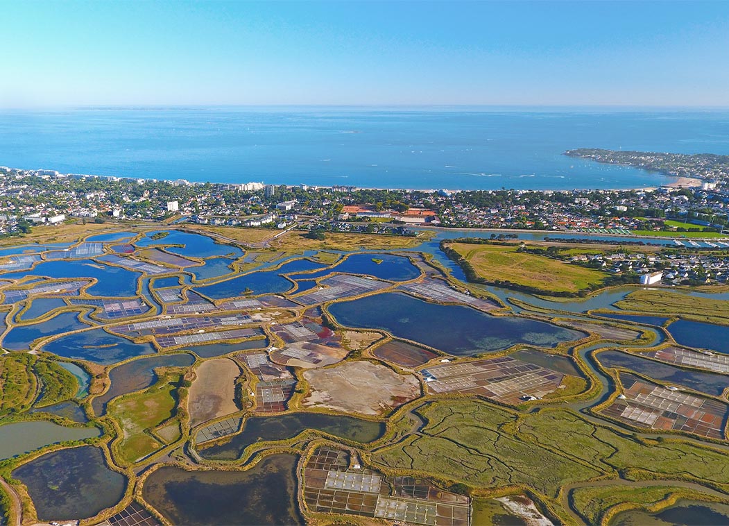
RESTORE4Cs 1st Policy Brief: How can coastal wetlands help achieve EU climate goals?
The first RESTORE4Cs Policy Brief of RESTORE4Cs, “How can coastal wetlands help achieve EU climate goals?“, highlights the importance of European coastal wetlands for reducing Greenhouse Gas emissions. The key messages of the first RESTORE4Cs Policy Brief include: Coastal wetlands are important natural carbon stores, ...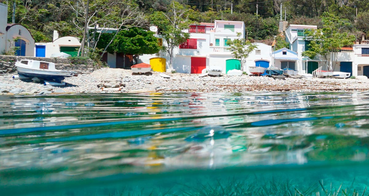
Mapping the Impact of Blue Tourism in the Mediterranean
The IUCN Centre for Mediterranean Cooperation with the support of ETC-UMA in the framework of the Blue Tourism Initiative, has released a comprehensive report entitled “Mapping the Impact of Blue Tourism in the Mediterranean: Vulnerability Assessment of Coastal and Marine ...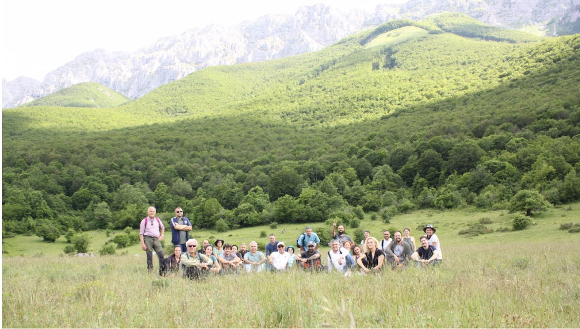
StrategyMedFor Presented at Annual Medforval Meeting 2024
StrategyMedFor was prominently featured at the Annual Medforval Meeting 2024, held from June 5-7 in Fontecchio, Italy. The event brought together 25 practitioners from national parks and natural reserves across 9 Mediterranean countries, providing a valuable platform for StrategyMedFor to ...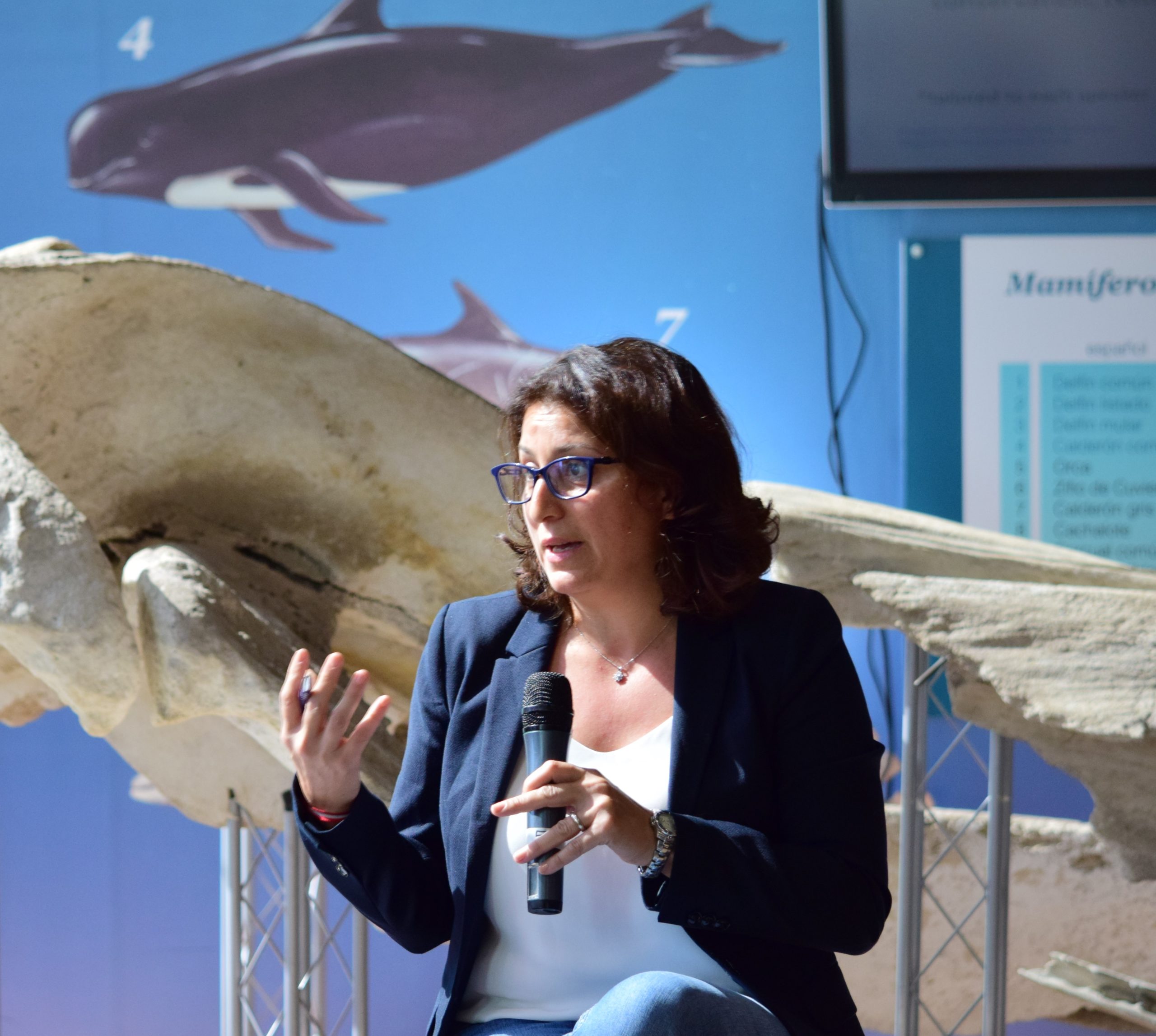
Celebrating leadership in environmental management: an interview with Dania Abdul Malak
From designing integrated ecosystem assessments in Europe and the Mediterranean to transforming outcomes into evidence-based recommendations for regional stakeholders, the European Topic Centre on Spatial Analysis and Synthesis (ETC-UMA) stands as a flagship for territorial cooperation. At the forefront of ...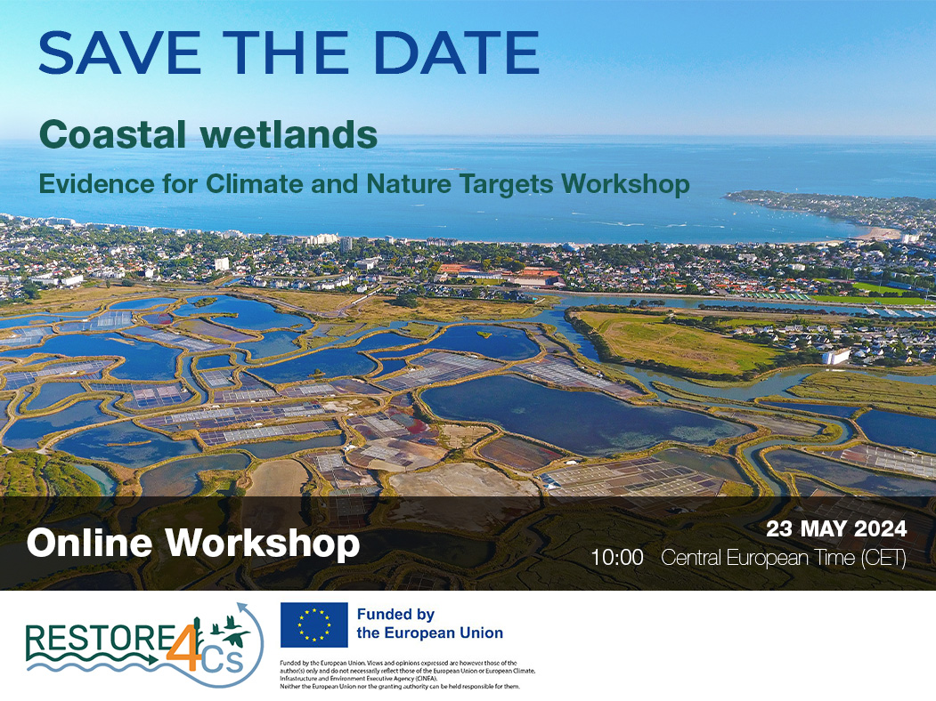
Save the date! Unlocking solutions for coastal conservation in Europe
How can coastal wetlands respond to major European Union objectives such as climate neutrality, biodiversity protection, and pollution reduction? What key role do coastal wetlands play in achieving EU commitments for climate mitigation and biodiversity conservation? The European Topic Centre ...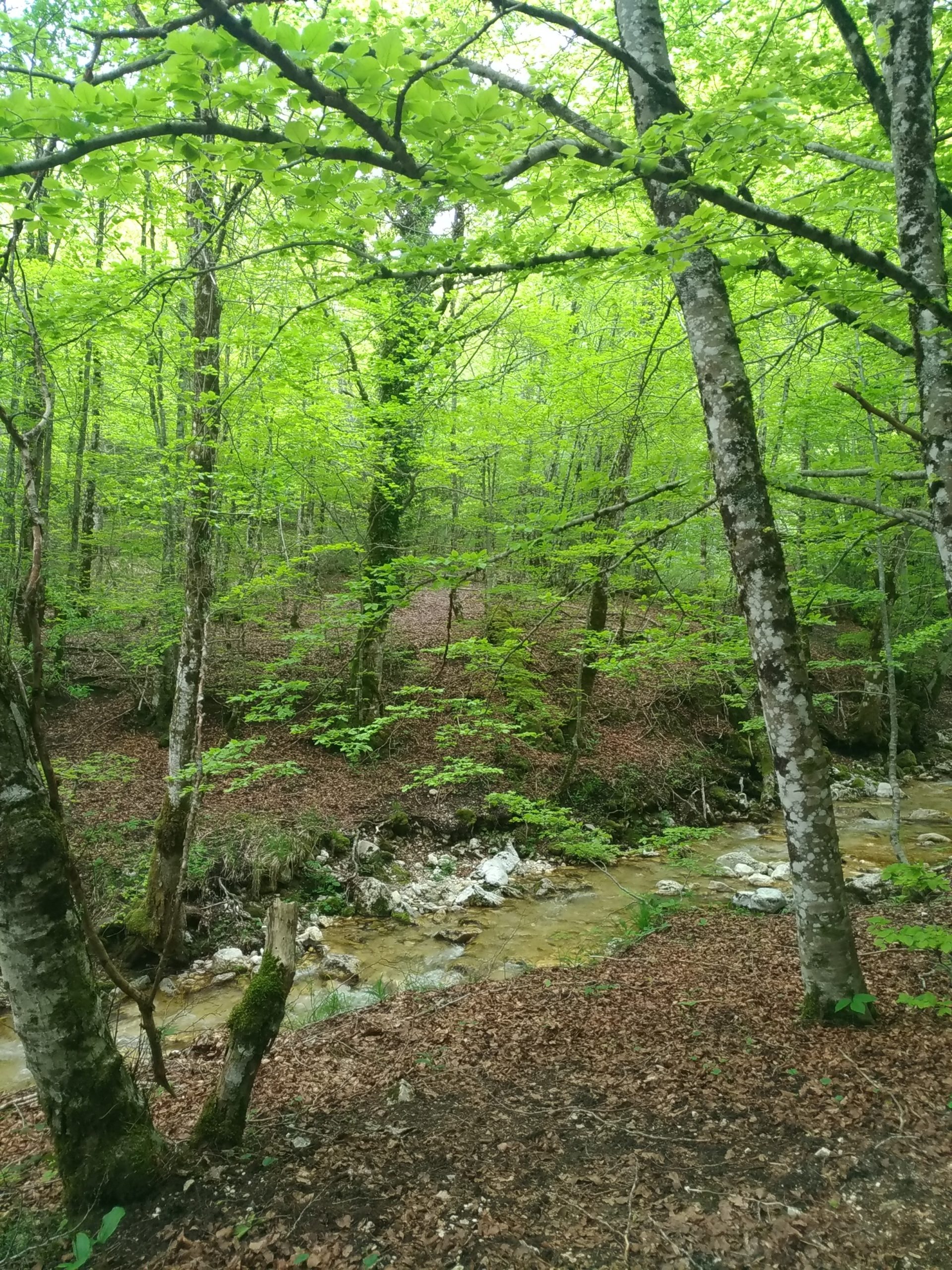
Towards a Strategy for the Sustainable Management of Mediterranean Forests (StrategyMedFor)
The StrategyMedFor project, co-financed by the Interreg Euro-MED programme, was launched at the University of Malaga during a two day meeting that took place on March 18 and 19, 2024. The European Topic Centre on Spatial Analysis and Synthesis (ETC-UMA), ...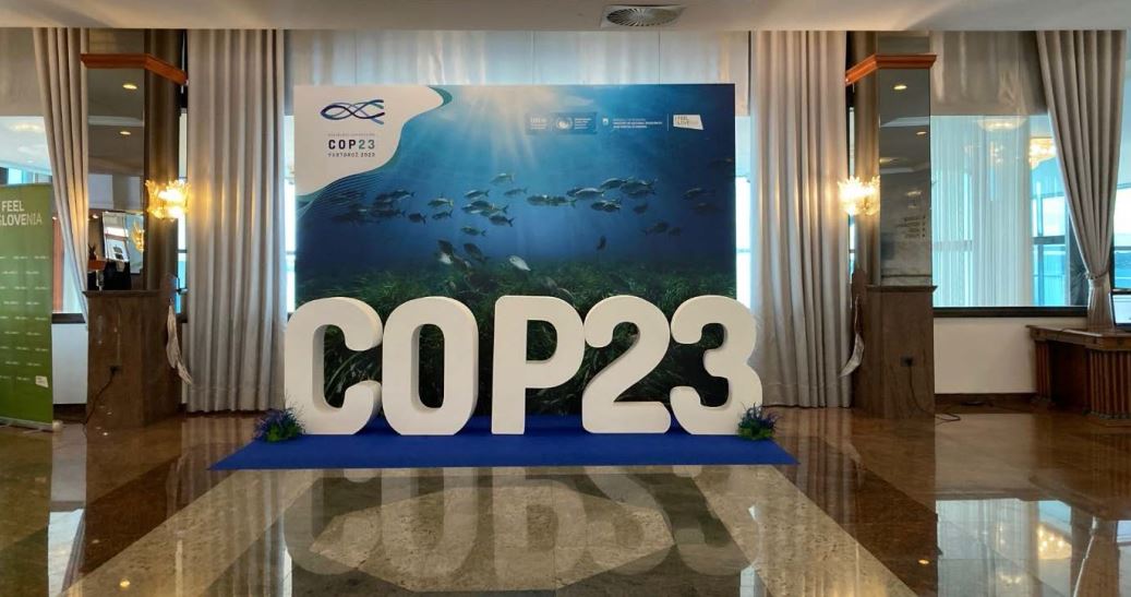
Collaborative science for forests by ETC-UMA showcased in Slovenia during the COP23
As UNEP MAP partner organization, ETC-UMA recently engaged in the organization of a session with Mediterranean institutions under the topic of climate change, entitled: From COASTAL to FOREST ecosystems: Mediterranean Nature-based Solutions to tackle climate change and ensure the Resilience ...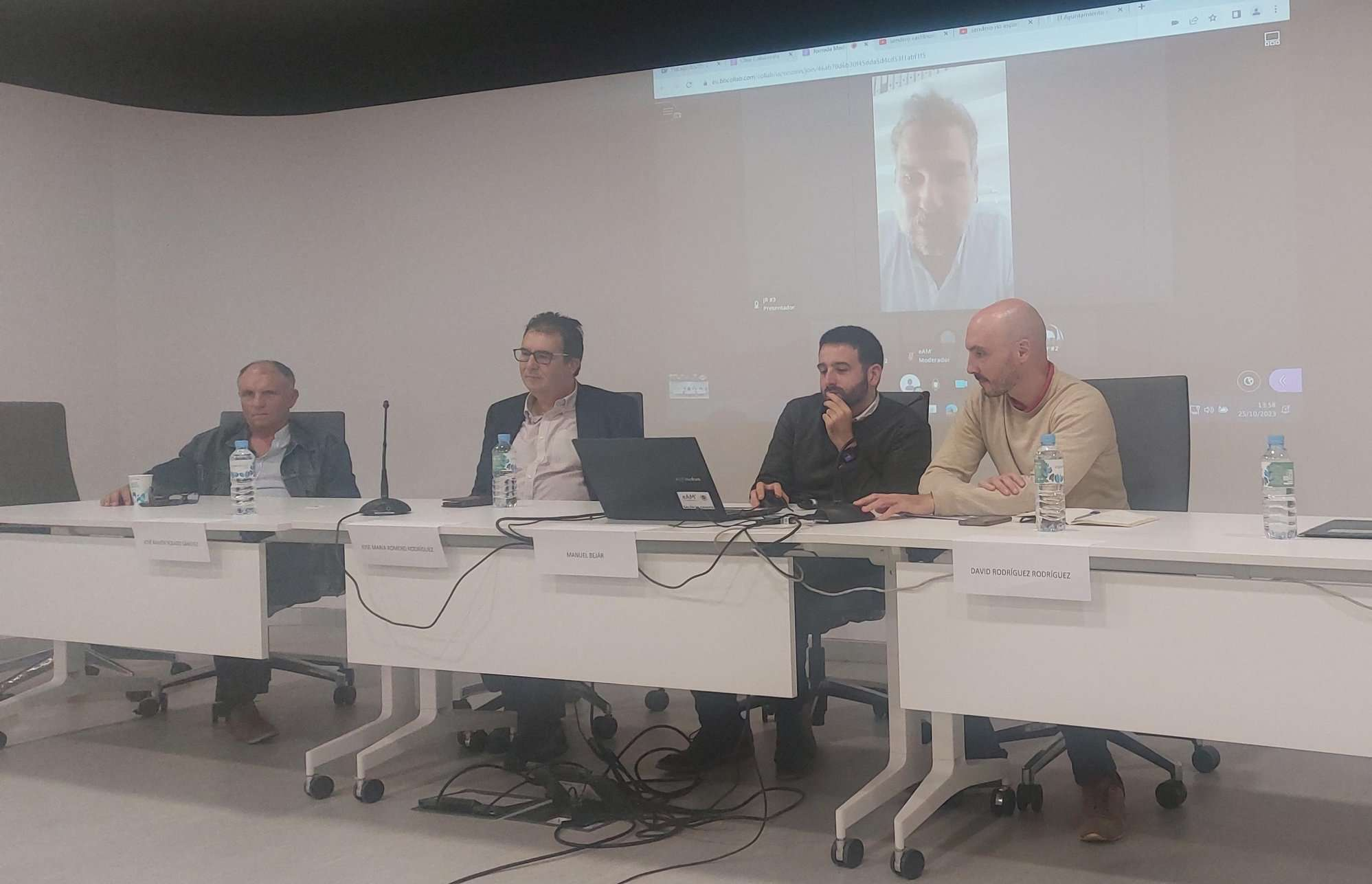
Tools for conserving the Spanish coast
On the initiative of the Instituto Universitario Hábitat Territorio y Digitalización (iHTD) of the University of Malaga, around 70 representatives of Spanish public administrations, researchers, architecture and environmental science players and civil society signed up to the second debate on ...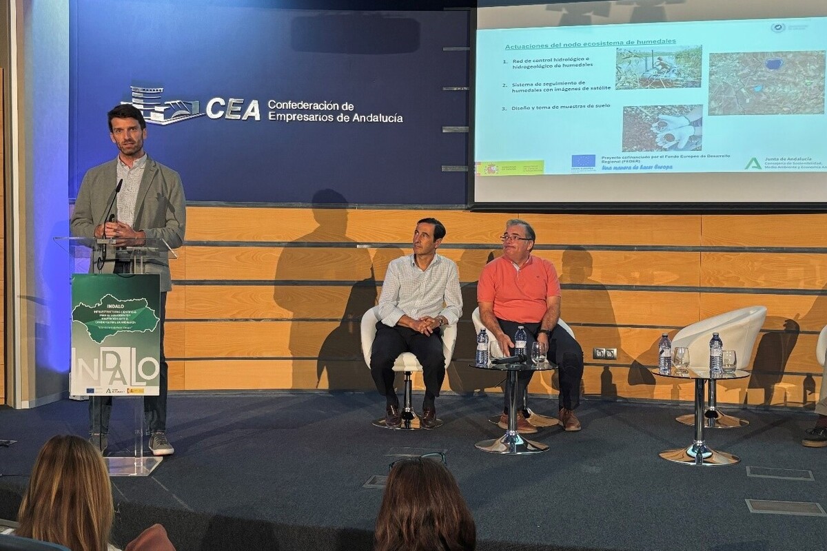
GreenEye System: a cloud-based system to monitor wetlands in Andalusia
Developed in the frame of the LifeWatch INDALO project cofinanced by the European Regional Development Fund (ERDF) for the study of biodiversity and global change in Andalucia, GreenEye System, this new cloud-based monitoring system, provides useful tools for wetlands’ assessment, ...
Looking back and forth to Mediterranean Forests
Timely published to enrich the knowledge available to fight fires and climate change challenges after an extremely hot summer, the proceedings of the Seventh Mediterranean Forest Week “Forest and Ecosystem Restoration for the next Mediterranean Generations” held from 21 to ...
More space for innovative Mediterranean forest data partnerships
The report entitled A knowledge baseline on Mediterranean forests supported by innovation launched in July by ETC-UMA provides a highlight of what Mediterranean countries and institutions are doing to integrate new digital, satellite and Artificial Intelligence technologies into forest monitoring ...