MS.MONINA
Multi-scale service for monitoring Natura 2000 habitats of European community interest
Project summary
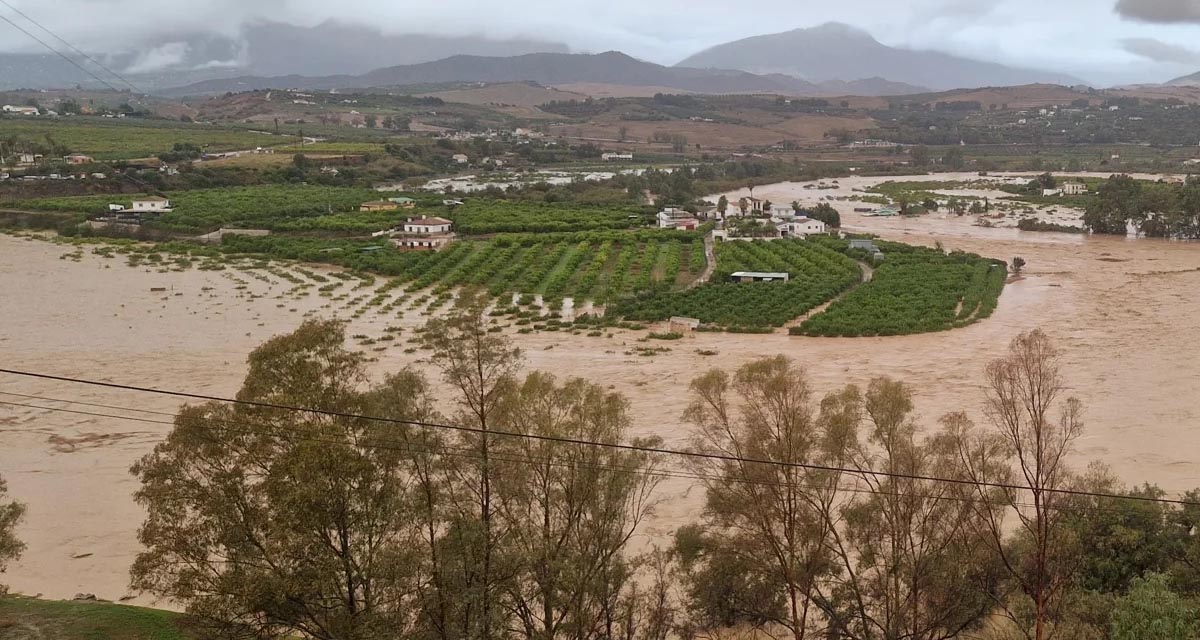
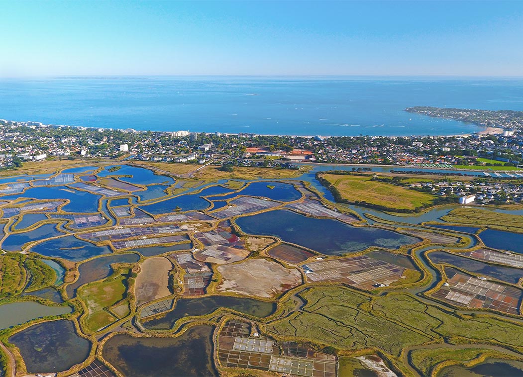
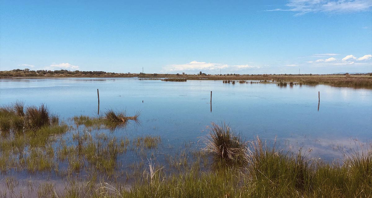
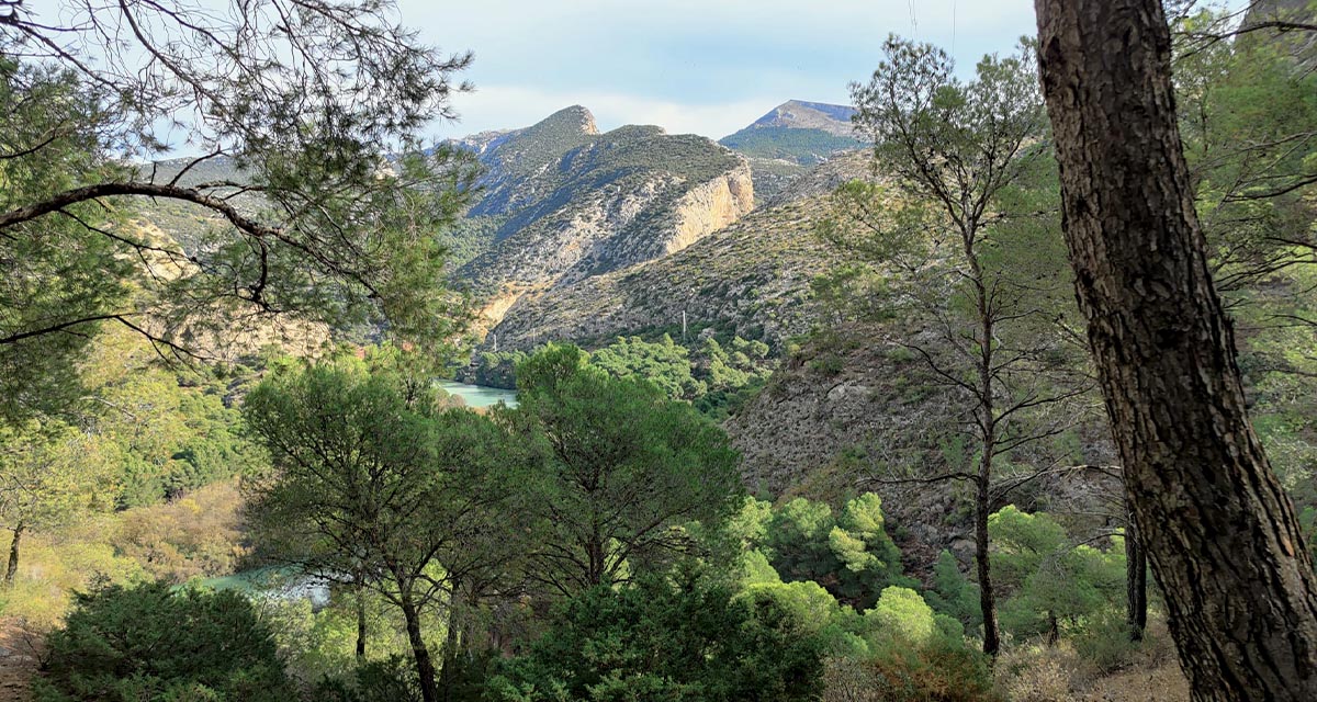
MS.MONINA offers remote sensing based monitoring services for observing and managing the state of NATURA 2000 sites and other precious habitats to reduce the loss of biodiversity. New concepts and methods combining earth observation (EO) data and in-situ data were defined and implemented with the aim to support public authorities in implementing policies and measures. Pilot applications in a range of study areas all over Europe demonstrated the value and importance of monitoring for the conservation of biodiversity.
The project extended up to three levels: local site managers, regional and national users and European stakeholders. Bearing in mind the goal of the project: to supply habitat mapping and habitat information/indicators, mainly required by the habitats directive, the project proposes different approaches based on the different user needs. At site level, Very High Resolution (0.5m) and Hyperspectral images were be used to derive habitats. At national level, habitats identification was based on coarser imagery (5m) and also deriving information from outside the protected areas using modelling techniques.
Our role
More about it
Christoph Schröder
christoph.schroder@uma.es
Based on my MSc in Geography (University of Bonn) I have developed expertise in Geographic Information Systems and land use/cover change analysis from local to global scale with particular interest in the Mediterranean...

FP7-SPACE

