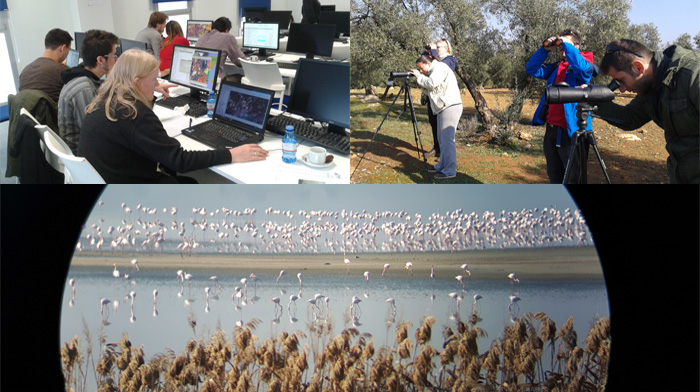
The aim of this SWOS hands-on workshop was to put in context the possibilities and difficulties of implementing detailed SWOS habitat nomenclatures using satellite imagery with different spatial resolutions (mainly Landsat and Sentinel). During this hands-on workshop, presentations of the testing done so far and the major problems identified by different partners were presented. Based on these first discussions, reduced …