Hands on workshop – SWOS nomenclature and mapping

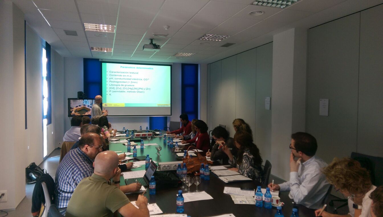
The aim of this SWOS hands-on workshop was to put in context the possibilities and difficulties of implementing detailed SWOS habitat nomenclatures using satellite imagery with different spatial resolutions (mainly Landsat and Sentinel). During this hands-on workshop, presentations of the testing done so far and the major problems identified by different partners were presented. Based on these first discussions, reduced …

New event section: digital mapping of soils

Curabitur eget ligula et ex laoreet maximus. In venenatis augue nunc, non porttitor sapien vehicula et. Integer quam mauris, condimentum ultricies consectetur nec, blandit id velit. Mauris egestas nibh et leo porttitor aliquam…

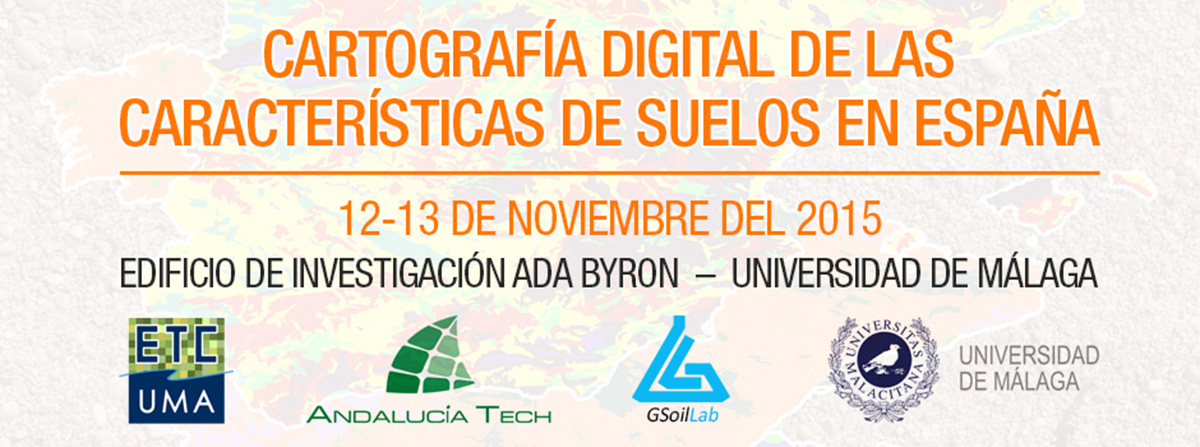
Cartografía Digital de las Características de Suelos en España

– Programa de la reunión – Documentación de referencia: Digital mapping of soil properties of Spain. Background Paper. Assessment of the soil organic carbon stock in Spain. Rodríguez Martín et al., 2015. Informe de armonización de suelos.   Presentaciones del evento: Sesión 1 Sesión 2 Sesión 3 Actividades de suelo y territorio de la UE. Cartografía digital de suelos en …